1010 Overlook Dr Bogart, GA 30622
Estimated Value: $424,386 - $532,000
2
Beds
3
Baths
2,170
Sq Ft
$220/Sq Ft
Est. Value
About This Home
This home is located at 1010 Overlook Dr, Bogart, GA 30622 and is currently estimated at $478,347, approximately $220 per square foot. 1010 Overlook Dr is a home located in Oconee County with nearby schools including Malcom Bridge Elementary School, Malcom Bridge Middle School, and North Oconee High School.
Ownership History
Date
Name
Owned For
Owner Type
Purchase Details
Closed on
Jan 16, 2009
Sold by
Dominy W Doyle
Bought by
Keeling Wendell
Current Estimated Value
Purchase Details
Closed on
Jan 24, 2003
Sold by
Murray Thomas F
Bought by
Dominy Dominy W and Dominy Doyle
Purchase Details
Closed on
Nov 30, 2001
Sold by
Murray Lucille M
Bought by
Murray Thomas F
Purchase Details
Closed on
Aug 29, 1997
Sold by
Duffield Thomas E
Bought by
Murray Thomas F
Create a Home Valuation Report for This Property
The Home Valuation Report is an in-depth analysis detailing your home's value as well as a comparison with similar homes in the area
Home Values in the Area
Average Home Value in this Area
Purchase History
| Date | Buyer | Sale Price | Title Company |
|---|---|---|---|
| Keeling Wendell | $237,000 | -- | |
| Dominy Dominy W | $242,000 | -- | |
| Murray Thomas F | -- | -- | |
| Murray Thomas F | $199,000 | -- |
Source: Public Records
Tax History Compared to Growth
Tax History
| Year | Tax Paid | Tax Assessment Tax Assessment Total Assessment is a certain percentage of the fair market value that is determined by local assessors to be the total taxable value of land and additions on the property. | Land | Improvement |
|---|---|---|---|---|
| 2024 | $2,603 | $146,279 | $26,000 | $120,279 |
| 2023 | $2,755 | $136,645 | $26,000 | $110,645 |
| 2022 | $2,609 | $120,870 | $26,000 | $94,870 |
| 2021 | $2,541 | $109,234 | $26,000 | $83,234 |
| 2020 | $2,430 | $104,268 | $26,000 | $78,268 |
| 2019 | $2,378 | $102,949 | $26,000 | $76,949 |
| 2018 | $2,321 | $98,431 | $26,000 | $72,431 |
| 2017 | $2,077 | $88,106 | $26,000 | $62,106 |
| 2016 | $2,045 | $86,767 | $26,000 | $60,767 |
| 2015 | $2,054 | $86,952 | $26,000 | $60,952 |
| 2014 | $2,034 | $84,222 | $26,000 | $58,222 |
| 2013 | -- | $84,448 | $26,000 | $58,448 |
Source: Public Records
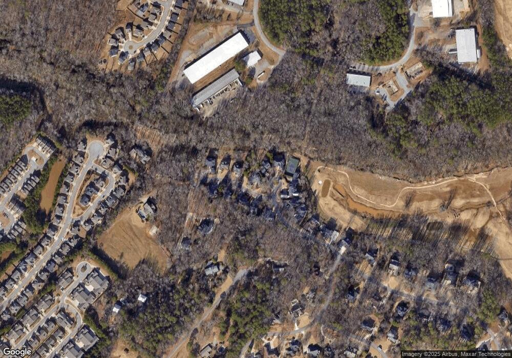
Map
Nearby Homes
- 1266 Orchard Way
- 493 Park West Blvd
- 1102 Blackstone Ct
- 355 Commerce Blvd
- 2232 Orchard Cir
- 1070 Ramser Dr
- 1090 Kenway Dr
- 1261 Meriweather Dr
- 265 Bedford Dr
- 238 Covington Place
- 228 Covington Place
- 1930 New Jimmie Daniel Rd Unit Lot 3
- 1930 New Jimmie Daniel Rd Unit LOT 2
- 117 Covington Place
- 1110 Colorado Bend
- 160 Cambridge Dr
- 1251 Ramser Dr
- 1032 Overlook Dr
- 1015 Overlook Dr
- 1015 Overlook Dr
- 1011 Overlook Dr
- 1025 Overlook Dr
- 1034 Overlook Dr
- 1260 Ramser Dr
- 1240 Ramser Dr
- 1230 Ramser Dr
- 1230 Ramser Dr
- 1035 Overlook Dr
- 1044 Overlook Dr
- 1035 Overlook Dr
- 1220 Ramser Dr
- 1200 Ramser Dr
- 1200 Ramser Dr
- 1151 Ramser Dr
- 1280 Kenway Dr