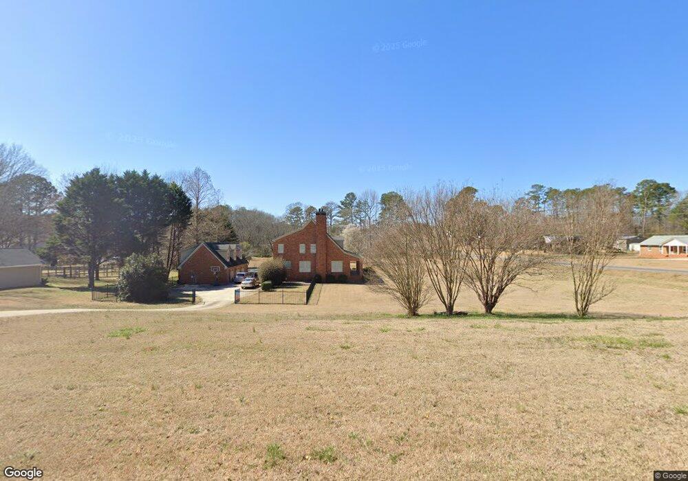
1010 Paul Ridge Rd Watkinsville, GA 30677
Estimated Value: $597,519 - $651,000
--
Bed
--
Bath
2,660
Sq Ft
$237/Sq Ft
Est. Value
About This Home
This home is located at 1010 Paul Ridge Rd, Watkinsville, GA 30677 and is currently estimated at $630,630, approximately $237 per square foot. 1010 Paul Ridge Rd is a home with nearby schools including Malcom Bridge Elementary School, Malcom Bridge Middle School, and North Oconee High School.
Ownership History
Date
Name
Owned For
Owner Type
Purchase Details
Closed on
Jul 7, 2005
Sold by
Durham Mary Blaine
Bought by
Barnett Beth
Current Estimated Value
Home Financials for this Owner
Home Financials are based on the most recent Mortgage that was taken out on this home.
Original Mortgage
$190,000
Interest Rate
5.46%
Mortgage Type
New Conventional
Purchase Details
Closed on
Apr 30, 2004
Sold by
Durham Terry Michael
Bought by
Durham Mary Blaine
Create a Home Valuation Report for This Property
The Home Valuation Report is an in-depth analysis detailing your home's value as well as a comparison with similar homes in the area
Home Values in the Area
Average Home Value in this Area
Purchase History
| Date | Buyer | Sale Price | Title Company |
|---|---|---|---|
| Barnett Beth | $53,500 | -- | |
| Durham Mary Blaine | -- | -- |
Source: Public Records
Mortgage History
| Date | Status | Borrower | Loan Amount |
|---|---|---|---|
| Closed | Barnett Beth | $190,000 |
Source: Public Records
Tax History Compared to Growth
Tax History
| Year | Tax Paid | Tax Assessment Tax Assessment Total Assessment is a certain percentage of the fair market value that is determined by local assessors to be the total taxable value of land and additions on the property. | Land | Improvement |
|---|---|---|---|---|
| 2024 | $3,632 | $193,378 | $24,000 | $169,378 |
| 2023 | $3,632 | $180,351 | $16,000 | $164,351 |
| 2022 | $3,736 | $173,305 | $16,000 | $157,305 |
| 2021 | $3,705 | $159,234 | $16,000 | $143,234 |
| 2020 | $3,557 | $152,624 | $16,000 | $136,624 |
| 2019 | $3,253 | $139,490 | $16,000 | $123,490 |
| 2018 | $3,246 | $136,274 | $16,000 | $120,274 |
| 2017 | $3,103 | $130,214 | $16,000 | $114,214 |
| 2016 | $2,915 | $122,316 | $16,000 | $106,316 |
| 2015 | $2,909 | $121,792 | $16,000 | $105,792 |
| 2014 | $3,180 | $130,173 | $18,000 | $112,173 |
| 2013 | -- | $125,975 | $18,000 | $107,975 |
Source: Public Records
Map
Nearby Homes
- 1070 Sagefield Dr
- 0 Mars Hill Rd Unit 1025421
- 0 Mars Hill Rd Unit 10509287
- 3131 Rocky Branch Rd Unit 280
- 3131 Rocky Branch Rd Unit 140
- 1031 Sagefield Dr
- 1941 Mars Hill Rd
- 1271 Daandra Dr
- 1020 Tower Place
- 1031 Vend Dr
- 1336 Prince Place
- 1786 Cambridge Square
- 1120 Lancaster Ct
- 1011 Meriweather Dr
- 1271 Hollow Creek Ln
- 1261 Meriweather Dr
- 1190 Wareview Ct
- 1300 Manjula Ln
- 1175 Manjula Ln
- 1030 Paul Ridge Rd
- 2941 Mars Hill Rd
- 2890 Mars Hill Rd
- 2900 Mars Hill Rd
- 1050 Paul Ridge Rd
- 1081 Rosewood Trail
- 0 Rosewood Trail Unit 7193545
- 2920 Mars Hill Rd
- 1015 Fieldstone Rd
- 1011 Paul Ridge Rd
- 1031 Paul Ridge
- 1050 Paul Ridge
- 1041 Paul Ridge Rd
- 1041 Paul Ridge
- 2930 Mars Hill Rd
- 2961 Mars Hill Rd
- 1061 Rosewood Trail
- 1025 Fieldstone Rd
- 1051 Paul Ridge Rd
- 1051 Paul Ridge