1010 Roddan Ct Placerville, CA 95667
Estimated Value: $662,000 - $1,220,000
3
Beds
4
Baths
3,978
Sq Ft
$256/Sq Ft
Est. Value
About This Home
This home is located at 1010 Roddan Ct, Placerville, CA 95667 and is currently estimated at $1,016,763, approximately $255 per square foot. 1010 Roddan Ct is a home located in El Dorado County with nearby schools including El Dorado High School, Country Day Montessori, and El Dorado Adventist School.
Ownership History
Date
Name
Owned For
Owner Type
Purchase Details
Closed on
May 4, 2004
Sold by
Zappettini Paul R and Erin Dealey Zappettini P
Bought by
Zappettini Paul R and Erin Dealey Zappettini P
Current Estimated Value
Home Financials for this Owner
Home Financials are based on the most recent Mortgage that was taken out on this home.
Original Mortgage
$370,000
Interest Rate
5.57%
Mortgage Type
Stand Alone Refi Refinance Of Original Loan
Purchase Details
Closed on
Apr 12, 2004
Sold by
Zappettini Paul R and Dealey Patricia Erin
Bought by
Zappettini Paul R and Erin Dealey Zappettini P
Home Financials for this Owner
Home Financials are based on the most recent Mortgage that was taken out on this home.
Original Mortgage
$370,000
Interest Rate
5.57%
Mortgage Type
Stand Alone Refi Refinance Of Original Loan
Purchase Details
Closed on
Oct 15, 2002
Sold by
Zappettini Paul R and Zappettini Patricia E
Bought by
Zappettini Paul R and Dealey Patricia Erin
Home Financials for this Owner
Home Financials are based on the most recent Mortgage that was taken out on this home.
Original Mortgage
$375,000
Interest Rate
6.05%
Purchase Details
Closed on
Aug 24, 1998
Sold by
Zappettini Paul R and Zappettini Erin Dealey
Bought by
Zappettini Paul R and Erin Dealey Zappettini P
Home Financials for this Owner
Home Financials are based on the most recent Mortgage that was taken out on this home.
Original Mortgage
$380,400
Interest Rate
6.93%
Create a Home Valuation Report for This Property
The Home Valuation Report is an in-depth analysis detailing your home's value as well as a comparison with similar homes in the area
Home Values in the Area
Average Home Value in this Area
Purchase History
| Date | Buyer | Sale Price | Title Company |
|---|---|---|---|
| Zappettini Paul R | -- | -- | |
| Zappettini Paul R | -- | Old Republic Title Co | |
| Zappettini Paul R | -- | Fidelity Natl Title Co | |
| Zappettini Paul R | -- | Fidelity Natl Title Co | |
| Zappettini Paul R | -- | -- |
Source: Public Records
Mortgage History
| Date | Status | Borrower | Loan Amount |
|---|---|---|---|
| Closed | Zappettini Paul R | $370,000 | |
| Closed | Zappettini Paul R | $375,000 | |
| Closed | Zappettini Paul R | $380,400 |
Source: Public Records
Tax History
| Year | Tax Paid | Tax Assessment Tax Assessment Total Assessment is a certain percentage of the fair market value that is determined by local assessors to be the total taxable value of land and additions on the property. | Land | Improvement |
|---|---|---|---|---|
| 2025 | $6,401 | $627,185 | $93,193 | $533,992 |
| 2024 | $6,401 | $614,888 | $91,366 | $523,522 |
| 2023 | $6,325 | $602,832 | $89,575 | $513,257 |
| 2022 | $6,234 | $591,013 | $87,819 | $503,194 |
| 2021 | $6,161 | $579,426 | $86,098 | $493,328 |
| 2020 | $6,069 | $573,486 | $85,216 | $488,270 |
| 2019 | $5,993 | $562,243 | $83,546 | $478,697 |
| 2018 | $5,807 | $551,219 | $81,908 | $469,311 |
| 2017 | $5,719 | $540,411 | $80,302 | $460,109 |
| 2016 | $5,627 | $529,816 | $78,728 | $451,088 |
| 2015 | $5,366 | $521,860 | $77,547 | $444,313 |
| 2014 | $5,366 | $511,639 | $76,029 | $435,610 |
Source: Public Records
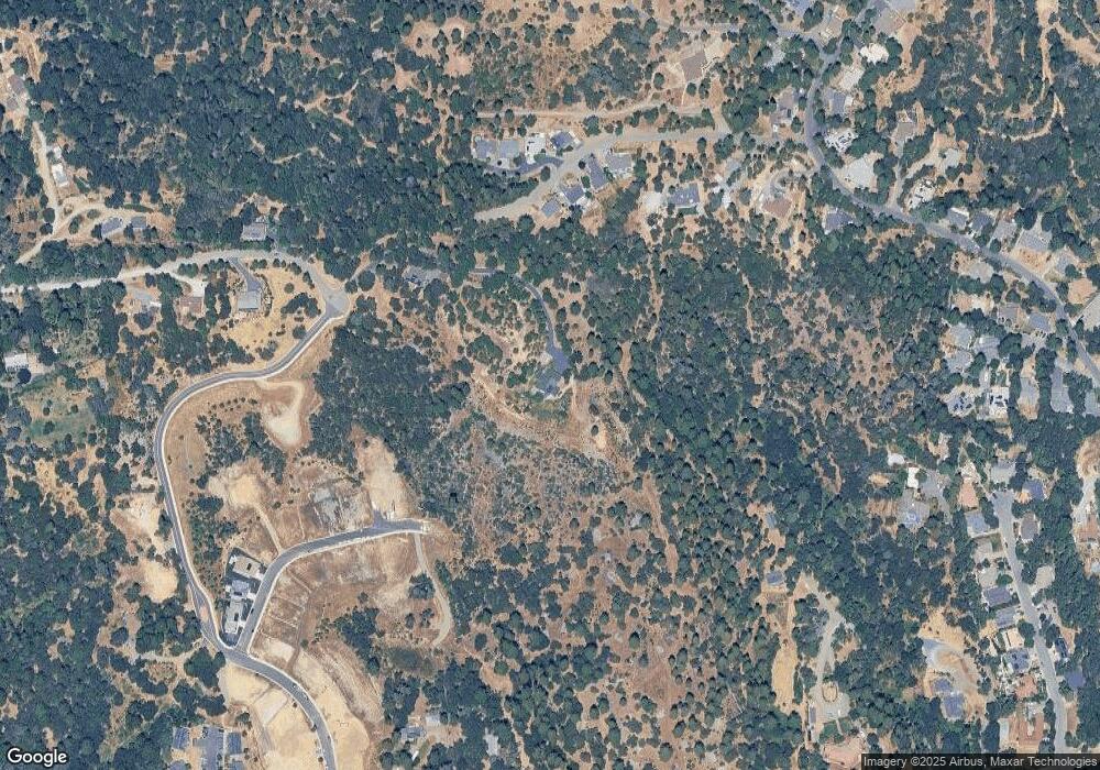
Map
Nearby Homes
- 1017 Utah Dr
- 1012 Utah Dr
- 1008 Utah Dr
- 1002 Utah Dr
- 1000 Utah Dr
- 2940 Anderson Way
- 2725 Clay St
- 945 Crawford Drift Ct
- 944 Crawford Drift Ct
- 2655 Mona Dr
- 2921 Miller Way
- 2532 Golden Eagle Dr
- 2624 Liberty Mine Ct
- 2603 Kereka Ct
- 1344 Village Ln
- 918 Woodpecker Ct
- 678 Main St
- 901 Union St
- 8325 County Rd M44
- 1371 Martin Ln
- 1006 Roddan Ct
- 1136 Bush Ct
- 1140 Bush Ct
- 1148 Bush Ct
- 1139 Bush Ct
- 1156 Bush Ct
- 1168 Bush Ct
- 1147 Bush Ct
- 1125 Bush Ct
- 1005 Roddan Ct
- 1186 Bush Ct
- 2628 Morrene Dr
- 985 Roddan Ct
- 2640 Morrene Dr
- 1182 Aggregate Way
- 990 Roddan Ct
- 0 Morrene (14 87acs) Dr Unit 90022576
- 0 Morrene ( 62 Acres) Dr Unit 14001207
- 1186 Aggregate Way
- 975 Roddan Ct
Your Personal Tour Guide
Ask me questions while you tour the home.