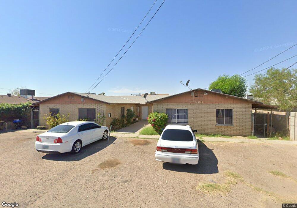
1010 S 1st St Avondale, AZ 85323
Old Town NeighborhoodEstimated Value: $408,886 - $1,316,000
--
Bed
--
Bath
2,804
Sq Ft
$284/Sq Ft
Est. Value
About This Home
This home is located at 1010 S 1st St, Avondale, AZ 85323 and is currently estimated at $795,222, approximately $283 per square foot. 1010 S 1st St is a home located in Maricopa County with nearby schools including Lattie Coor, Eliseo C. Felix School, and Avondale Middle School.
Ownership History
Date
Name
Owned For
Owner Type
Purchase Details
Closed on
Feb 16, 1995
Sold by
Rodriguez Julio Escamillo and Rodriguez Anita E
Bought by
Medina Ignacio and Medina Genevieve G
Current Estimated Value
Home Financials for this Owner
Home Financials are based on the most recent Mortgage that was taken out on this home.
Original Mortgage
$99,900
Interest Rate
9.23%
Mortgage Type
Seller Take Back
Create a Home Valuation Report for This Property
The Home Valuation Report is an in-depth analysis detailing your home's value as well as a comparison with similar homes in the area
Home Values in the Area
Average Home Value in this Area
Purchase History
| Date | Buyer | Sale Price | Title Company |
|---|---|---|---|
| Medina Ignacio | $100,000 | First American Title |
Source: Public Records
Mortgage History
| Date | Status | Borrower | Loan Amount |
|---|---|---|---|
| Closed | Medina Ignacio | $99,900 |
Source: Public Records
Tax History Compared to Growth
Tax History
| Year | Tax Paid | Tax Assessment Tax Assessment Total Assessment is a certain percentage of the fair market value that is determined by local assessors to be the total taxable value of land and additions on the property. | Land | Improvement |
|---|---|---|---|---|
| 2025 | $951 | $9,090 | -- | -- |
| 2024 | $942 | $8,657 | -- | -- |
| 2023 | $942 | $45,600 | $9,120 | $36,480 |
| 2022 | $908 | $26,410 | $5,280 | $21,130 |
| 2021 | $957 | $20,730 | $4,140 | $16,590 |
| 2020 | $928 | $16,270 | $3,250 | $13,020 |
| 2019 | $922 | $16,230 | $3,240 | $12,990 |
| 2018 | $926 | $12,960 | $2,590 | $10,370 |
| 2017 | $903 | $10,520 | $2,100 | $8,420 |
| 2016 | $921 | $10,250 | $2,050 | $8,200 |
| 2015 | $856 | $9,860 | $1,970 | $7,890 |
Source: Public Records
Map
Nearby Homes
- 300 W Lower Buckeye Rd Unit 26
- 110 W Main St
- 127 W Main St Unit 6
- 830 S Greenleaf Ln
- 31 W Aragon Ln
- 400 E Main St Unit 23
- 448 E Main St Unit 18
- 535 E Agua Fria Ln
- 823 E Agua Fria Ln
- 1010 S 5th St
- 831 E Agua Fria Ln
- 0 Lower Buckeye -- Unit 12
- 814 E Agua Fria Ln
- 845 E Agua Fria Ln
- 973 E Corral St
- 919 E Agua Fria Ln
- 917 E Agua Fria Ln
- 923 E Agua Fria Ln
- 12XX N Dysart Rd Unit 1 & 2
- 206 N 5th St
- 15 E Mountain View Dr
- 1012 S 1st St
- 19 E Mountain View Dr
- 103 E Mountain View Dr
- 11 E Mountain View Dr
- 1011 S 1st St
- 1011 S 1st St
- 20 E Elm Ln
- 1009 S 1st St
- 1100 S 1st St
- 9 E Mountain View Dr
- 105 E Mountain View Dr
- 1017 S Central Ave
- 22 E Elm Ln
- 1015 S 1st St
- 1011 S Central Ave
- 1023 S Central Ave
- 1104 S 1st St
- 1 E Mountain View Dr
- 22 E Mountain View Dr