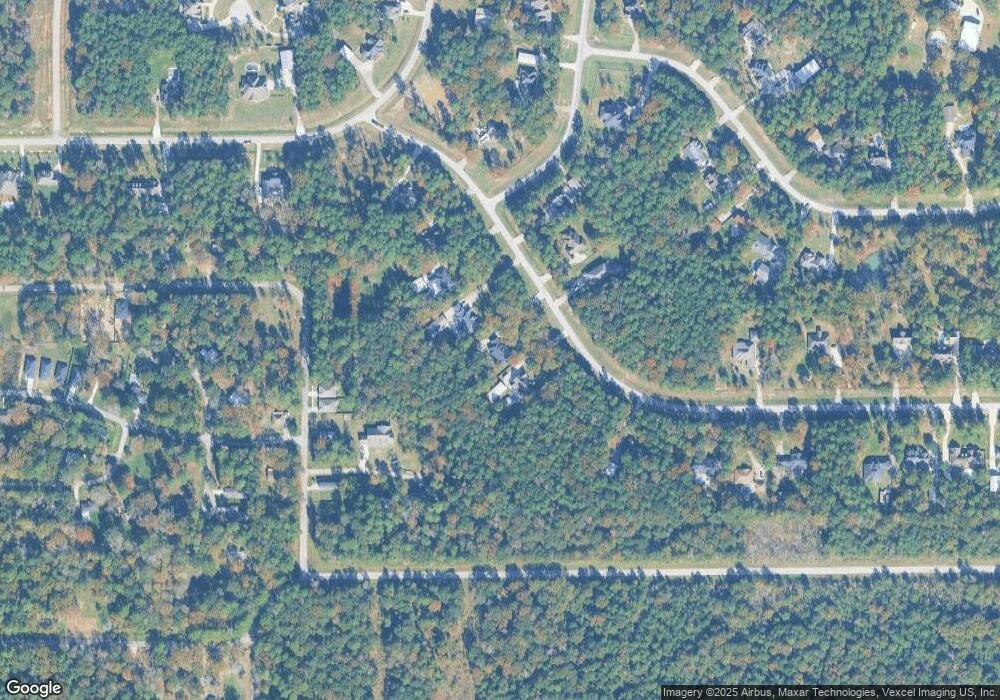
1010 S Commons View Dr Huffman, TX 77336
Estimated Value: $658,000 - $707,000
4
Beds
4
Baths
3,664
Sq Ft
$187/Sq Ft
Est. Value
About This Home
This home is located at 1010 S Commons View Dr, Huffman, TX 77336 and is currently estimated at $686,625, approximately $187 per square foot. 1010 S Commons View Dr is a home located in Harris County with nearby schools including Huffman Elementary School, Huffman Middle School, and Hargrave High School.
Ownership History
Date
Name
Owned For
Owner Type
Purchase Details
Closed on
Aug 28, 2003
Sold by
Steffen Michael T and Steffen Pauline C
Bought by
Mckenzie Scott and Mckenzie Jacqueline
Current Estimated Value
Purchase Details
Closed on
Jul 1, 2002
Sold by
The Commons Of Lake Houston Ltd
Bought by
Steffen Michael T and Steffen Pauline C
Home Financials for this Owner
Home Financials are based on the most recent Mortgage that was taken out on this home.
Original Mortgage
$31,120
Interest Rate
6.73%
Mortgage Type
Construction
Create a Home Valuation Report for This Property
The Home Valuation Report is an in-depth analysis detailing your home's value as well as a comparison with similar homes in the area
Home Values in the Area
Average Home Value in this Area
Purchase History
| Date | Buyer | Sale Price | Title Company |
|---|---|---|---|
| Mckenzie Scott | -- | Alamo Title Company | |
| Steffen Michael T | -- | First American Title |
Source: Public Records
Mortgage History
| Date | Status | Borrower | Loan Amount |
|---|---|---|---|
| Previous Owner | Steffen Michael T | $31,120 |
Source: Public Records
Tax History Compared to Growth
Tax History
| Year | Tax Paid | Tax Assessment Tax Assessment Total Assessment is a certain percentage of the fair market value that is determined by local assessors to be the total taxable value of land and additions on the property. | Land | Improvement |
|---|---|---|---|---|
| 2025 | $11,534 | $610,407 | $167,909 | $442,498 |
| 2024 | $11,534 | $644,107 | $167,909 | $476,198 |
| 2023 | $11,534 | $621,719 | $130,596 | $491,123 |
| 2022 | $11,698 | $585,576 | $111,939 | $473,637 |
| 2021 | $11,788 | $491,317 | $93,283 | $398,034 |
| 2020 | $11,263 | $435,788 | $93,283 | $342,505 |
| 2019 | $10,754 | $467,554 | $96,355 | $371,199 |
| 2018 | $4,867 | $372,640 | $85,861 | $286,779 |
| 2017 | $9,769 | $372,640 | $85,861 | $286,779 |
| 2016 | $9,907 | $383,120 | $71,551 | $311,569 |
| 2015 | $7,950 | $343,534 | $53,664 | $289,870 |
| 2014 | $7,950 | $343,534 | $53,664 | $289,870 |
Source: Public Records
Map
Nearby Homes
- 1135 Magnolia Point Dr
- 576 Magnolia Point Dr
- 320 Emerald Thicket Ln
- 731 Magnolia Point Dr
- 729 Magnolia Point Dr
- 1018 N Commons View Dr
- 578 Magnolia Point Dr
- 28502 Tallow Rock Ln
- 28506 Tallow Rock Ln
- 551 White Oak Dr
- 538 Magnolia Point Dr
- 00 Pin Oak Ln
- 00 White Oak Dr
- 1018 Winchester Bend
- TBD Cheatham Rd
- 28503 Riverside Crest Ln
- 28603 Riverside Crest Ln
- 27603 Thomas Rd
- 626 N Commons View Dr
- 0 Shadow Dr Unit 11559643
- 1014 S Commons View Dr
- 1006 S Commons View Dr
- 1002 S Commons View Dr
- 1018 S Commons View Dr
- 713 Ratada Ct
- 914 S Commons View Dr
- 0 Ratada Ct Unit 9909282
- 0 Ratada Ct Unit 66918054
- 0 Ratada Ct Unit 31383300
- 0 Ratada Ct Unit 54192143
- 707 Magnolia Point Dr
- 1022 S Commons View Dr
- 655 Magnolia Point Dr
- 0000 Ratada Ct
- 1011 S Commons View Dr
- 708 Ratada Ct
- 0 Reba Rd Unit 97985739
- 1007 S Commons View Dr
- 0 Magnolia Point Dr Unit 3869634
- 0 Magnolia Point Dr Unit 34117352
