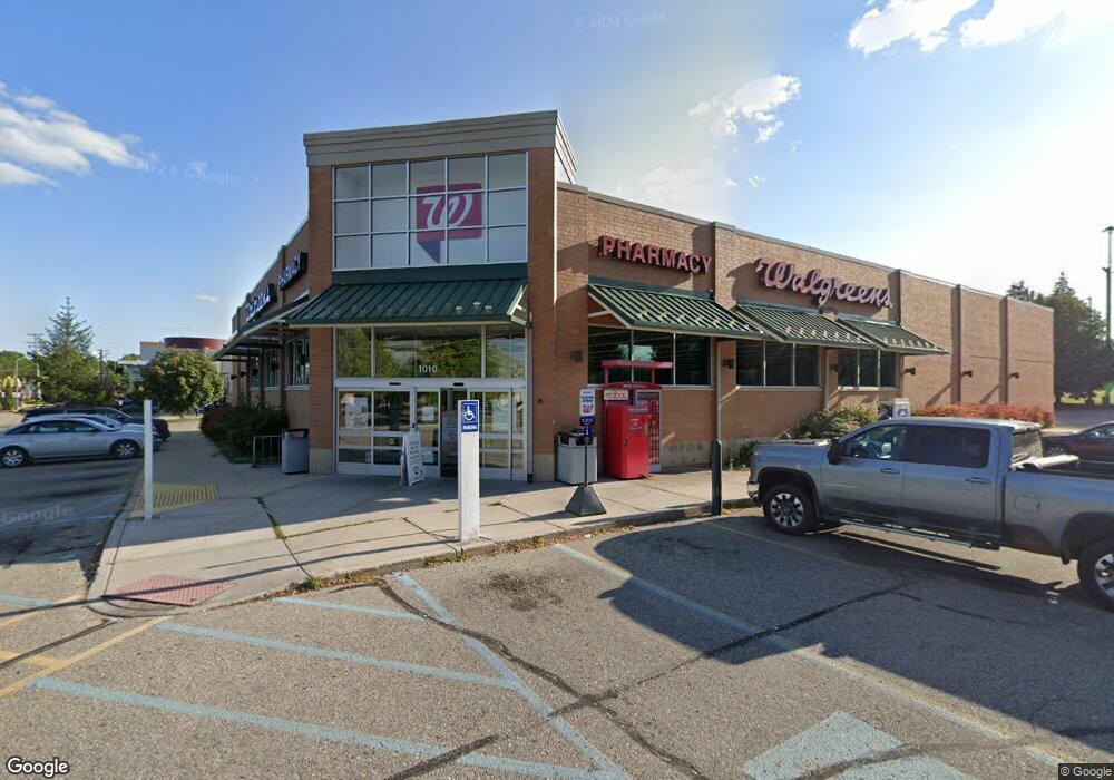
1010 S State St Big Rapids, MI 49307
Estimated Value: $2,242,372
Studio
--
Bath
13,650
Sq Ft
$164/Sq Ft
Est. Value
About This Home
This home is located at 1010 S State St, Big Rapids, MI 49307 and is currently estimated at $2,242,372, approximately $164 per square foot. 1010 S State St is a home located in Mecosta County with nearby schools including Big Rapids High School, Crossroads Charter Academy Elementary School, and Crossroads Charter Academy Middle/High School.
Ownership History
Date
Name
Owned For
Owner Type
Purchase Details
Closed on
Feb 17, 2021
Sold by
Agree Limited Partnership
Bought by
Cardinal Green Investments Llc
Current Estimated Value
Create a Home Valuation Report for This Property
The Home Valuation Report is an in-depth analysis detailing your home's value as well as a comparison with similar homes in the area
Home Values in the Area
Average Home Value in this Area
Purchase History
| Date | Buyer | Sale Price | Title Company |
|---|---|---|---|
| Cardinal Green Investments Llc | -- | First American Title Co |
Source: Public Records
Tax History
| Year | Tax Paid | Tax Assessment Tax Assessment Total Assessment is a certain percentage of the fair market value that is determined by local assessors to be the total taxable value of land and additions on the property. | Land | Improvement |
|---|---|---|---|---|
| 2025 | $45,089 | $1,502,000 | $0 | $0 |
| 2024 | -- | $1,218,400 | $0 | $0 |
| 2023 | -- | $1,208,500 | $0 | $0 |
| 2022 | $64,422 | $1,095,400 | $0 | $0 |
Source: Public Records
Map
Nearby Homes
- 910 S State St
- 226 Perry Ave
- 840 S State St
- 0 Perry Ave
- 840 Clark St Unit 3
- 840 Clark St Unit 2 & 3
- 840 Clark St Unit 2
- 840 Clark St
- 806 Clark St
- 810 Clark St
- 217 Morrison St
- 217 Morrison St
- 804 Clark St
- 123 Cedar St
- 311 Morrison St
- 20740 West Dr
- 811 Division St
- 220 Morrison St
- 802 Division St
- 215 Fuller Ave
Your Personal Tour Guide
Ask me questions while you tour the home.