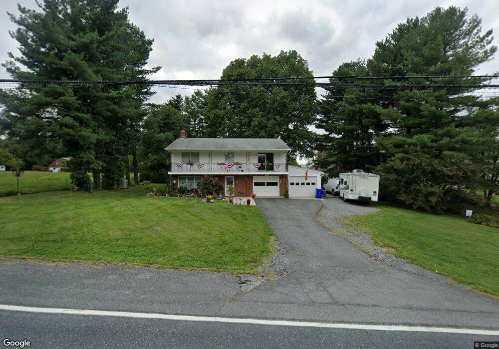
1010 Saint Michaels Rd Mount Airy, MD 21771
Estimated Value: $490,000 - $644,000
--
Bed
2
Baths
2,030
Sq Ft
$290/Sq Ft
Est. Value
About This Home
This home is located at 1010 Saint Michaels Rd, Mount Airy, MD 21771 and is currently estimated at $589,130, approximately $290 per square foot. 1010 Saint Michaels Rd is a home located in Howard County with nearby schools including Lisbon Elementary School, Glenwood Middle School, and Glenelg High School.
Ownership History
Date
Name
Owned For
Owner Type
Purchase Details
Closed on
Dec 28, 2004
Sold by
Abdul Brown
Bought by
Scott James M
Current Estimated Value
Purchase Details
Closed on
Dec 23, 2004
Sold by
Brown Abdul
Bought by
Scott James M
Purchase Details
Closed on
Feb 12, 2003
Sold by
Brown Abdul
Bought by
Alexander Aeric and Alexander Debra
Purchase Details
Closed on
Jun 29, 2001
Sold by
Krantz Ruth D L and Krantz E
Bought by
Brown Abdul and Brown Vivian
Create a Home Valuation Report for This Property
The Home Valuation Report is an in-depth analysis detailing your home's value as well as a comparison with similar homes in the area
Home Values in the Area
Average Home Value in this Area
Purchase History
| Date | Buyer | Sale Price | Title Company |
|---|---|---|---|
| Scott James M | $300,000 | -- | |
| Scott James M | $300,000 | -- | |
| Alexander Aeric | $129,900 | -- | |
| Brown Abdul | $175,000 | -- |
Source: Public Records
Mortgage History
| Date | Status | Borrower | Loan Amount |
|---|---|---|---|
| Closed | Alexander Aeric | -- |
Source: Public Records
Tax History Compared to Growth
Tax History
| Year | Tax Paid | Tax Assessment Tax Assessment Total Assessment is a certain percentage of the fair market value that is determined by local assessors to be the total taxable value of land and additions on the property. | Land | Improvement |
|---|---|---|---|---|
| 2025 | $6,435 | $454,800 | $204,000 | $250,800 |
| 2024 | $6,435 | $447,633 | $0 | $0 |
| 2023 | $6,016 | $440,467 | $0 | $0 |
| 2022 | $5,729 | $433,300 | $254,000 | $179,300 |
| 2021 | $5,207 | $399,500 | $0 | $0 |
| 2020 | $5,207 | $365,700 | $0 | $0 |
| 2019 | $4,964 | $331,900 | $179,700 | $152,200 |
| 2018 | $4,681 | $331,900 | $179,700 | $152,200 |
| 2017 | $4,665 | $331,900 | $0 | $0 |
| 2016 | -- | $364,000 | $0 | $0 |
| 2015 | -- | $340,467 | $0 | $0 |
| 2014 | -- | $316,933 | $0 | $0 |
Source: Public Records
Map
Nearby Homes
- 16657 Frederick Rd
- 17263 Hardy Rd
- 16365 Camalo Dr
- 7401 Watersville Rd
- 15904 Frederick Rd
- 921 Lady Anne Ct
- 7460 Porter Dr
- 2305 Connor Cir
- 2016 Damon Dr
- 2408 Connor Cir
- 1629 Brittle Branch Way
- 1718 Trestle St
- 1308 Crossbow Rd
- 807 Kingsbridge Terrace
- 7714 Walnut Ln
- 0 Watersville Rd Unit MDCR2019316
- 3698 W Watersville Rd
- 7326 John Pickett Rd
- 7636 Woodbine Rd
- 0 Dogwood Dr
- 16960 Frederick Rd
- 1000 Saint Michaels Rd
- 16957 Frederick Rd
- 16945 Frederick Rd
- 1011 Saint Michaels Rd
- 16961 Frederick Rd
- 17001 Frederick Rd
- 1015 Saint Michaels Rd
- 1014 Saint Michaels Rd
- 16948 Frederick Rd
- 17005 Frederick Rd
- 16943 Frederick Rd
- 1019 Saint Michaels Rd
- 16970 Frederick Rd
- 16944 Frederick Rd
- 17009 Frederick Rd
- 16941 Frederick Rd
- 1021 Saint Michaels Rd
- 1020 Saint Michaels Rd
- 17004 Frederick Rd