1010 Samantha Ln Odenton, MD 21113
Estimated Value: $369,758 - $419,000
--
Bed
--
Bath
1,608
Sq Ft
$238/Sq Ft
Est. Value
About This Home
This home is located at 1010 Samantha Ln, Odenton, MD 21113 and is currently estimated at $383,440, approximately $238 per square foot. 1010 Samantha Ln is a home located in Anne Arundel County with nearby schools including Arundel Middle School, Arundel High School, and School of the Incarnation.
Ownership History
Date
Name
Owned For
Owner Type
Purchase Details
Closed on
Feb 28, 2017
Sold by
Hogan Michael W and The Michael W Hogan Living Tru
Bought by
Strong William A and Strong Nancy L
Current Estimated Value
Home Financials for this Owner
Home Financials are based on the most recent Mortgage that was taken out on this home.
Original Mortgage
$191,920
Outstanding Balance
$159,239
Interest Rate
4.19%
Mortgage Type
New Conventional
Estimated Equity
$224,201
Purchase Details
Closed on
May 30, 2008
Sold by
Hogan Michael W
Bought by
Hogan Michael W and Hogan Elaine M
Purchase Details
Closed on
May 9, 2008
Sold by
Hogan Michael W
Bought by
Hogan Michael W and Hogan Elaine M
Purchase Details
Closed on
Mar 25, 2008
Sold by
Nvr Inc
Bought by
Hogan Michael W and Hogan Elaine M
Create a Home Valuation Report for This Property
The Home Valuation Report is an in-depth analysis detailing your home's value as well as a comparison with similar homes in the area
Home Values in the Area
Average Home Value in this Area
Purchase History
| Date | Buyer | Sale Price | Title Company |
|---|---|---|---|
| Strong William A | $239,900 | Charter Title Llc | |
| Hogan Michael W | -- | -- | |
| Hogan Michael W | -- | -- | |
| Hogan Michael W | $312,542 | -- |
Source: Public Records
Mortgage History
| Date | Status | Borrower | Loan Amount |
|---|---|---|---|
| Open | Strong William A | $191,920 |
Source: Public Records
Tax History Compared to Growth
Tax History
| Year | Tax Paid | Tax Assessment Tax Assessment Total Assessment is a certain percentage of the fair market value that is determined by local assessors to be the total taxable value of land and additions on the property. | Land | Improvement |
|---|---|---|---|---|
| 2025 | $2,706 | $321,600 | $160,800 | $160,800 |
| 2024 | $2,706 | $297,467 | $0 | $0 |
| 2023 | $2,608 | $273,333 | $0 | $0 |
| 2022 | $2,604 | $249,200 | $124,600 | $124,600 |
| 2021 | $2,338 | $238,467 | $0 | $0 |
| 2020 | $2,338 | $227,733 | $0 | $0 |
| 2019 | $2,173 | $217,000 | $108,500 | $108,500 |
| 2018 | $2,173 | $214,333 | $0 | $0 |
| 2017 | $2,161 | $211,667 | $0 | $0 |
| 2016 | -- | $209,000 | $0 | $0 |
| 2015 | -- | $209,000 | $0 | $0 |
| 2014 | -- | $209,000 | $0 | $0 |
Source: Public Records
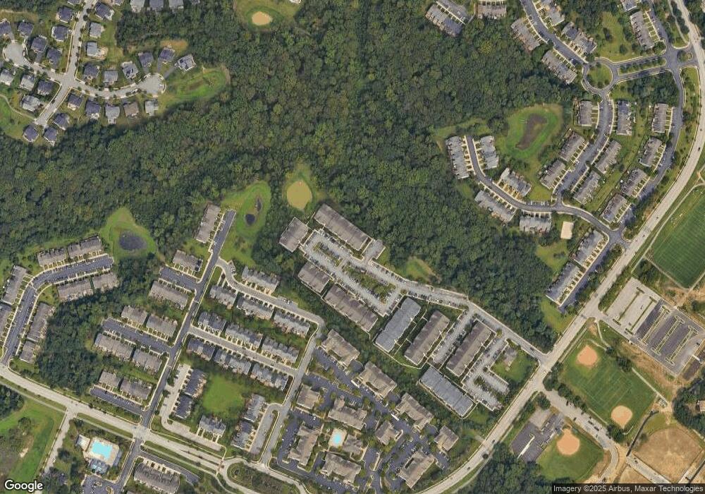
Map
Nearby Homes
- 1014 Samantha Ln Unit 102
- 2605 Clarion Ct Unit 303
- 908 Glaze Ct
- 7606 Vulpe Ct
- 1584 Star Stella Dr
- 2637 Raptor Dr
- 7659 Porcelain Tile Ct
- 2654 April Dawn Way
- 2335 Golden Chapel Rd
- 1612 Winesapp Dr
- 2723 Piscataway Run Dr
- 2715 Piscataway Run Dr
- 2720 Fresh Water Way
- 2711 Middle Neck Rd
- 936 Autumnwood Dr
- 1003 Springhill Way
- 2614 Streamview Dr
- 1006 Christmas Ln
- 2512 Summers Ridge Dr
- 1318 Wickell Rd
- 1010 Samantha Ln Unit 8-201
- 2606 Hoods Mill Ct Unit 3-204
- 2606 Hoods Mill Ct Unit 3-102
- 2608 Hoods Mill Ct Unit 3-103
- 1005 Samantha Ln Unit 4-403
- 1007 Samantha Ln Unit 4-401
- 2608 Hoods Mill Ct Unit 3-104
- 2606 Hoods Mill Ct Unit 3-201
- 1009 Samantha Ln Unit 5-204
- 2608 Hoods Mill Ct Unit 3-303
- 1005 Samantha Ln Unit 4-401
- 1010 Samantha Ln Unit 8-202
- 1005 Samantha Ln Unit 4-101
- 1010 Samantha Ln Unit 204
- 2606 Hoods Mill Ct Unit 303
- 2608 Hoods Mill Ct Unit 3-102
- 1010 Samantha Ln
- 1010 Samantha Ln Unit 401
- 1010 Samantha Ln Unit 304
- 1010 Samantha Ln Unit 303