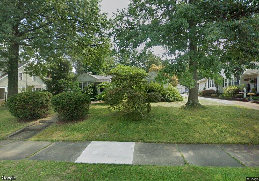
1010 Sunset Dr Alliance, OH 44601
Estimated Value: $184,456 - $240,000
2
Beds
3
Baths
1,462
Sq Ft
$147/Sq Ft
Est. Value
About This Home
This home is located at 1010 Sunset Dr, Alliance, OH 44601 and is currently estimated at $214,364, approximately $146 per square foot. 1010 Sunset Dr is a home located in Stark County with nearby schools including Alliance Early Learning School, Alliance Intermediate School at Northside, and Alliance Middle School.
Ownership History
Date
Name
Owned For
Owner Type
Purchase Details
Closed on
Apr 25, 2000
Sold by
Rankin Donald W and Rankin Ruth A
Bought by
Zumbar Alexander A
Current Estimated Value
Home Financials for this Owner
Home Financials are based on the most recent Mortgage that was taken out on this home.
Original Mortgage
$99,900
Outstanding Balance
$34,711
Interest Rate
8.22%
Mortgage Type
Purchase Money Mortgage
Estimated Equity
$179,653
Create a Home Valuation Report for This Property
The Home Valuation Report is an in-depth analysis detailing your home's value as well as a comparison with similar homes in the area
Home Values in the Area
Average Home Value in this Area
Purchase History
| Date | Buyer | Sale Price | Title Company |
|---|---|---|---|
| Zumbar Alexander A | $103,000 | -- |
Source: Public Records
Mortgage History
| Date | Status | Borrower | Loan Amount |
|---|---|---|---|
| Open | Zumbar Alexander A | $99,900 |
Source: Public Records
Tax History Compared to Growth
Tax History
| Year | Tax Paid | Tax Assessment Tax Assessment Total Assessment is a certain percentage of the fair market value that is determined by local assessors to be the total taxable value of land and additions on the property. | Land | Improvement |
|---|---|---|---|---|
| 2025 | -- | $47,390 | $20,300 | $27,090 |
| 2024 | -- | $47,390 | $20,300 | $27,090 |
| 2023 | $1,860 | $46,270 | $15,260 | $31,010 |
| 2022 | $936 | $46,270 | $15,260 | $31,010 |
| 2021 | $1,122 | $46,270 | $15,260 | $31,010 |
| 2020 | $1,616 | $37,280 | $12,290 | $24,990 |
| 2019 | $294 | $37,280 | $12,290 | $24,990 |
| 2018 | $1,601 | $37,280 | $12,290 | $24,990 |
| 2017 | $1,491 | $34,160 | $11,830 | $22,330 |
| 2016 | $1,560 | $35,460 | $13,130 | $22,330 |
| 2015 | $273 | $35,460 | $13,130 | $22,330 |
| 2014 | $1,539 | $33,010 | $12,220 | $20,790 |
| 2013 | $268 | $33,010 | $12,220 | $20,790 |
Source: Public Records
Map
Nearby Homes
- 970 Kingsway St
- 1038 Fairview Place
- 1321 Parkway Blvd
- 738 Kingsway St
- 896 Parkway Blvd
- 1201 Overlook Dr
- 734 Parkway Blvd
- 1515 S Rockhill Ave
- 725 W Summit St
- 884 W College Rd
- 645 W Summit St
- 203 Glamorgan St
- 565 W Broadway St
- 140 W Summit St
- 807 S Union Ave
- 2050 Federal Ave
- 2112 Blenheim Ave
- 345 W Market St
- 1475 Chatauqua Ct
- 132 S Haines Ave
- 1020 Sunset Dr
- 990 Sunset Dr
- 980 Sunset Dr
- 1030 Sunset Dr
- 1042 Sunset Dr
- 1001 Parkside Dr
- 1011 Parkside Dr
- 1021 Parkside Dr
- 991 Parkside Dr
- 1001 Sunset Dr
- 1011 Sunset Dr
- 1031 Parkside Dr
- 1052 Sunset Dr
- 981 Parkside Dr
- 1021 Sunset Dr
- 991 Sunset Dr
- 981 Sunset Dr
- 1031 Sunset Dr
- 1041 Parkside Dr
- 1111 Parkway Blvd