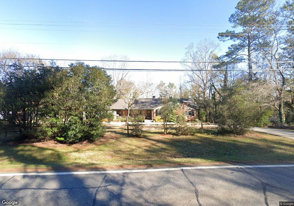
1010 Timothy Rd Athens, GA 30606
Saint George Place NeighborhoodEstimated Value: $387,115 - $485,000
3
Beds
3
Baths
2,085
Sq Ft
$209/Sq Ft
Est. Value
About This Home
This home is located at 1010 Timothy Rd, Athens, GA 30606 and is currently estimated at $435,529, approximately $208 per square foot. 1010 Timothy Rd is a home located in Clarke County with nearby schools including Timothy Elementary School, Clarke Middle School, and Clarke Central High School.
Ownership History
Date
Name
Owned For
Owner Type
Purchase Details
Closed on
Aug 9, 2003
Sold by
Caldwell-Olson Carrie L
Bought by
Caldwell-Olson Carrie L and Caldwell-Olson Brian C
Current Estimated Value
Purchase Details
Closed on
Aug 8, 2003
Sold by
Sheppard Audrey J
Bought by
Caldwell-Olson Carrie L
Purchase Details
Closed on
Apr 14, 1993
Sold by
Sheppard Marion M
Bought by
Sheppard Audrey J
Create a Home Valuation Report for This Property
The Home Valuation Report is an in-depth analysis detailing your home's value as well as a comparison with similar homes in the area
Home Values in the Area
Average Home Value in this Area
Purchase History
| Date | Buyer | Sale Price | Title Company |
|---|---|---|---|
| Caldwell-Olson Carrie L | -- | -- | |
| Caldwell-Olson Carrie L | $154,000 | -- | |
| Sheppard Audrey J | -- | -- |
Source: Public Records
Tax History
| Year | Tax Paid | Tax Assessment Tax Assessment Total Assessment is a certain percentage of the fair market value that is determined by local assessors to be the total taxable value of land and additions on the property. | Land | Improvement |
|---|---|---|---|---|
| 2025 | $4,043 | $147,336 | $20,000 | $127,336 |
| 2024 | $4,043 | $144,256 | $20,000 | $124,256 |
| 2023 | $4,009 | $134,432 | $20,000 | $114,432 |
| 2022 | $3,365 | $115,499 | $16,000 | $99,499 |
| 2021 | $2,777 | $92,390 | $12,000 | $80,390 |
| 2020 | $2,595 | $86,991 | $12,000 | $74,991 |
| 2019 | $2,480 | $83,056 | $12,000 | $71,056 |
| 2018 | $2,034 | $69,917 | $12,000 | $57,917 |
| 2017 | $2,015 | $69,357 | $12,000 | $57,357 |
| 2016 | $1,826 | $63,787 | $11,200 | $52,587 |
| 2015 | $1,722 | $60,644 | $11,200 | $49,444 |
| 2014 | $1,734 | $60,910 | $11,200 | $49,710 |
Source: Public Records
Map
Nearby Homes
- 1720 Timothy Rd
- 220 Tanglewood Dr
- 199 Tanglewood Dr
- 132 Branford Place
- 130 Wexford Place
- 255 Pine Valley Dr
- 200 Skyline Pkwy
- 205 Heritage Stroll
- 236 Towns Walk Dr
- 210 Pine Valley Dr
- 190 Bowles Dr Unit 1
- 190 Bowles Dr
- 237 Towns Walk Dr
- 176 Towns Walk Dr
- 134 Tanner Bluff
- 255 Plum Nelly Rd
- 201 Township Ln
- 160 Pine Valley Dr
- 301 Skyline Pkwy
- 381 Township Ln
- 1020 Timothy Rd
- 105 Saint James Dr
- 105 Saint James Ct
- 109 Saint James Dr
- 1030 Timothy Rd
- 113 Saint James Dr
- 109 Saint James Ct
- 104 Saint James Dr
- 1175 Timothy Rd
- 106 Saint James Dr
- 190 Saint James Dr
- 100 Saint James Dr
- 995 Timothy Rd
- 106 Saint James Ct
- 175 Saint James Dr
- 104 Saint James Ct
- 130 Saint James Dr
- 135 Holly Falls Dr
- 125 Holly Falls Dr
- 150 Saint James Dr
Your Personal Tour Guide
Ask me questions while you tour the home.