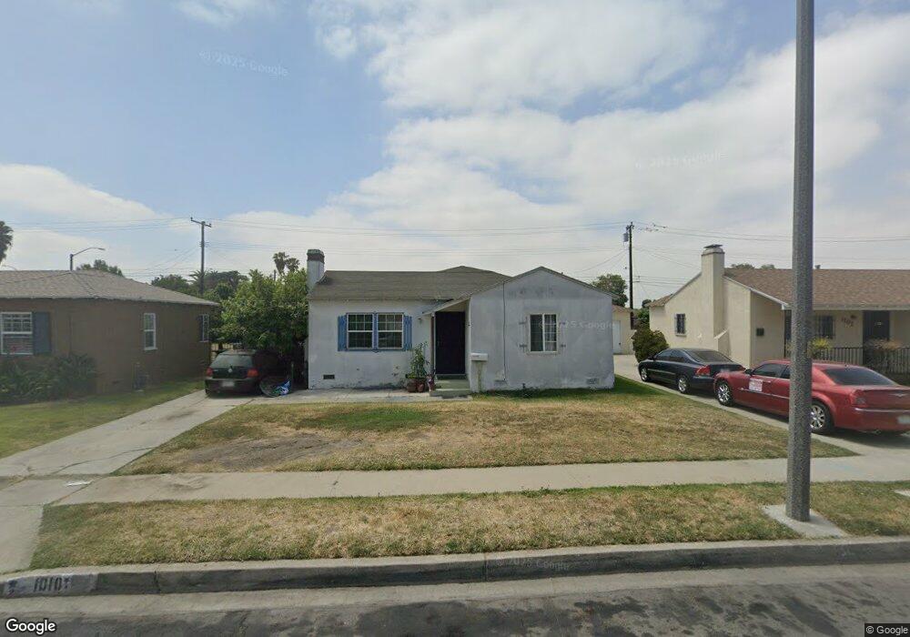
1010 W 127th Place Compton, CA 90222
Estimated Value: $554,000 - $639,000
2
Beds
2
Baths
1,122
Sq Ft
$531/Sq Ft
Est. Value
About This Home
This home is located at 1010 W 127th Place, Compton, CA 90222 and is currently estimated at $595,360, approximately $530 per square foot. 1010 W 127th Place is a home located in Los Angeles County with nearby schools including Ronald E. McNair Elementary School, Bunche Middle School, and Centennial High School.
Ownership History
Date
Name
Owned For
Owner Type
Purchase Details
Closed on
Feb 25, 2004
Sold by
Loaiza Julio C
Bought by
Loaiza Julio C
Current Estimated Value
Purchase Details
Closed on
Nov 22, 2002
Sold by
Lands George W and Landry Cinderella
Bought by
Loaiza Julio C
Home Financials for this Owner
Home Financials are based on the most recent Mortgage that was taken out on this home.
Original Mortgage
$144,530
Interest Rate
6.06%
Purchase Details
Closed on
Aug 23, 2002
Sold by
Lands Ernestine
Bought by
Lands Ernestine and The Ernestine Lands Separate Property Tr
Create a Home Valuation Report for This Property
The Home Valuation Report is an in-depth analysis detailing your home's value as well as a comparison with similar homes in the area
Home Values in the Area
Average Home Value in this Area
Purchase History
We collect this data history from publicly available records. To have your information removed, we recommend requesting removal directly through your county’s website.
| Date | Buyer | Sale Price | Title Company |
|---|---|---|---|
| Loaiza Julio C | -- | -- | |
| Loaiza Julio C | $149,000 | American Title Co | |
| Lands Ernestine | -- | -- |
Source: Public Records
Mortgage History
We collect this data history from publicly available records. To have your information removed, we recommend requesting removal directly through your county’s website.
| Date | Status | Borrower | Loan Amount |
|---|---|---|---|
| Previous Owner | Loaiza Julio C | $144,530 |
Source: Public Records
Tax History
| Year | Tax Paid | Tax Assessment Tax Assessment Total Assessment is a certain percentage of the fair market value that is determined by local assessors to be the total taxable value of land and additions on the property. | Land | Improvement |
|---|---|---|---|---|
| 2025 | $4,255 | $215,773 | $127,006 | $88,767 |
| 2024 | $4,234 | $211,543 | $124,516 | $87,027 |
| 2023 | $4,177 | $207,396 | $122,075 | $85,321 |
| 2022 | $4,264 | $203,331 | $119,682 | $83,649 |
| 2021 | $3,660 | $199,345 | $117,336 | $82,009 |
| 2019 | $3,847 | $193,434 | $113,856 | $79,578 |
| 2018 | $3,689 | $189,642 | $111,624 | $78,018 |
| 2016 | $3,487 | $182,281 | $107,291 | $74,990 |
| 2015 | $3,341 | $179,544 | $105,680 | $73,864 |
| 2014 | $3,285 | $176,028 | $103,610 | $72,418 |
Source: Public Records
Map
Nearby Homes
- 1696 E 126th St
- 1950 N Bloom Dr
- 1523 E 126th St
- 917 W 130th St
- 1510 1512 E 108th
- 1669 1671 E Imperial
- 1522 E 123rd St
- 12208 Compton Ave
- 818 W 130th St
- 12400 S Wilmington Ave
- 1518 E 122nd St
- 850 W 132nd St
- 810 W 133rd St
- 2040 N Kalsman Ave
- 1112 W 134th St
- 2207 N Anzac Ave
- 924 W 134th Place
- 2204 N Grape Ave
- 1223 E 124th St
- 1563 E 119th St
- 1203 W 127th Place
- 1207 W 127th Place
- 1115 W 127th Place
- 1211 W 127th Place
- 1202 W 127th St
- 1111 W 127th Place
- 1206 W 127th St
- 1208 W 127th St
- 1110 W 127th St
- 1107 W 127th Place
- 1215 W 127th Place
- 1114 W 127th St
- 1202 W 127th Place
- 1114 W 127th Place
- 1206 W 127th Place
- 1214 W 127th St
- 1106 W 127th St
- 1108 W 127th Place
- 1210 W 127th Place
- 1103 W 127th Place
Your Personal Tour Guide
Ask me questions while you tour the home.