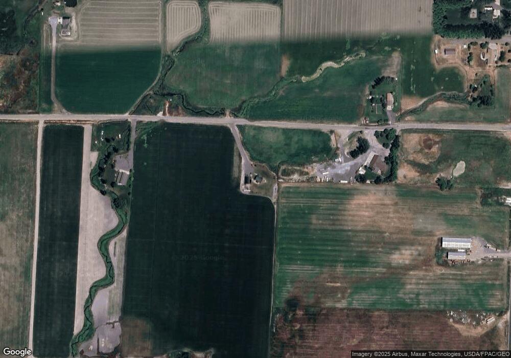
1010 W 5000 N Smithfield, UT 84335
Estimated Value: $515,000 - $731,044
Studio
--
Bath
1,661
Sq Ft
$361/Sq Ft
Est. Value
About This Home
This home is located at 1010 W 5000 N, Smithfield, UT 84335 and is currently estimated at $599,348, approximately $360 per square foot. 1010 W 5000 N is a home with nearby schools including Birch Creek School, Cedar Ridge School, and North Cache Middle School.
Ownership History
Date
Name
Owned For
Owner Type
Purchase Details
Closed on
Nov 26, 2018
Sold by
Gunnell Robert W and Gunnell Linda S
Bought by
Peterson Brian and Peterson Lisa
Current Estimated Value
Home Financials for this Owner
Home Financials are based on the most recent Mortgage that was taken out on this home.
Original Mortgage
$28,350
Outstanding Balance
$24,930
Interest Rate
4.9%
Mortgage Type
Seller Take Back
Estimated Equity
$574,418
Create a Home Valuation Report for This Property
The Home Valuation Report is an in-depth analysis detailing your home's value as well as a comparison with similar homes in the area
Purchase History
| Date | Buyer | Sale Price | Title Company |
|---|---|---|---|
| Peterson Brian | -- | Hickman Land Title Company |
Source: Public Records
Mortgage History
| Date | Status | Borrower | Loan Amount |
|---|---|---|---|
| Open | Peterson Brian | $28,350 |
Source: Public Records
Tax History
| Year | Tax Paid | Tax Assessment Tax Assessment Total Assessment is a certain percentage of the fair market value that is determined by local assessors to be the total taxable value of land and additions on the property. | Land | Improvement |
|---|---|---|---|---|
| 2025 | $1,899 | $310,410 | $0 | $0 |
| 2024 | $1,874 | $283,405 | $0 | $0 |
| 2023 | $1,994 | $282,105 | $0 | $0 |
| 2022 | $209 | $282,125 | $0 | $0 |
| 2021 | $1,581 | $437,595 | $212,080 | $225,515 |
| 2020 | $1,525 | $408,180 | $212,080 | $196,100 |
| 2019 | $1,440 | $293,271 | $97,171 | $196,100 |
| 2018 | $152 | $163,494 | $163,494 | $0 |
| 2017 | $159 | $15,145 | $0 | $0 |
| 2016 | $161 | $15,015 | $0 | $0 |
| 2015 | $158 | $14,890 | $0 | $0 |
| 2014 | $160 | $15,590 | $0 | $0 |
| 2013 | -- | $16,540 | $0 | $0 |
Source: Public Records
Map
Nearby Homes
Your Personal Tour Guide
Ask me questions while you tour the home.