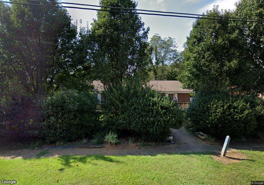
1010 W Main St Bowersville, GA 30516
Estimated Value: $139,000 - $282,000
--
Bed
1
Bath
1,855
Sq Ft
$109/Sq Ft
Est. Value
About This Home
This home is located at 1010 W Main St, Bowersville, GA 30516 and is currently estimated at $202,886, approximately $109 per square foot. 1010 W Main St is a home located in Hart County with nearby schools including Hart County High School and Cherokee Rose Elementary School.
Ownership History
Date
Name
Owned For
Owner Type
Purchase Details
Closed on
Dec 9, 2024
Sold by
Brice Darrell J
Bought by
Chafin Patricia Harper and Chafin Thomas Lee
Current Estimated Value
Purchase Details
Closed on
Mar 22, 2010
Sold by
Dunn Lisa C
Bought by
Dove Keith W
Home Financials for this Owner
Home Financials are based on the most recent Mortgage that was taken out on this home.
Original Mortgage
$90,500
Interest Rate
4.91%
Mortgage Type
New Conventional
Purchase Details
Closed on
Jun 1, 1997
Purchase Details
Closed on
May 1, 1997
Purchase Details
Closed on
Nov 1, 1982
Create a Home Valuation Report for This Property
The Home Valuation Report is an in-depth analysis detailing your home's value as well as a comparison with similar homes in the area
Home Values in the Area
Average Home Value in this Area
Purchase History
| Date | Buyer | Sale Price | Title Company |
|---|---|---|---|
| Chafin Patricia Harper | $10,000 | -- | |
| Dove Keith W | $45,000 | -- | |
| -- | $45,000 | -- | |
| -- | -- | -- | |
| -- | -- | -- |
Source: Public Records
Mortgage History
| Date | Status | Borrower | Loan Amount |
|---|---|---|---|
| Previous Owner | Dove Keith W | $90,500 |
Source: Public Records
Tax History Compared to Growth
Tax History
| Year | Tax Paid | Tax Assessment Tax Assessment Total Assessment is a certain percentage of the fair market value that is determined by local assessors to be the total taxable value of land and additions on the property. | Land | Improvement |
|---|---|---|---|---|
| 2024 | $973 | $60,973 | $8,371 | $52,602 |
| 2023 | $891 | $52,381 | $6,948 | $45,433 |
| 2022 | $753 | $47,232 | $6,126 | $41,106 |
| 2021 | $726 | $41,117 | $3,317 | $37,800 |
| 2020 | $723 | $39,330 | $3,228 | $36,102 |
| 2019 | $696 | $37,590 | $3,228 | $34,362 |
| 2018 | $727 | $38,772 | $3,228 | $35,544 |
| 2017 | $722 | $38,340 | $3,228 | $35,112 |
| 2016 | $732 | $37,683 | $2,194 | $35,489 |
| 2015 | $497 | $27,508 | $2,740 | $24,768 |
| 2014 | $483 | $26,321 | $1,787 | $24,534 |
| 2013 | -- | $27,364 | $1,786 | $25,578 |
Source: Public Records
Map
Nearby Homes
- 7658 Ga Highway 17
- 198 Bennett Rd
- 344 Deer Chase Dr
- 566 Hoke Hill Rd
- 61 Turnbull Rd
- 2621 Bond Ave
- 4025 Lankford Rd
- 4094 Lankford Rd
- 361 Adamstown Rd
- 432 Airport Rd
- 0 Unawatti Rd Unit 10613869
- 266 Randall St
- 869 Ankerich Rd
- 86 Luckie St
- 0 Will Bailey Rd Unit 22492947
- 356 Burroughs Rd
- 0 Hwy 59 and Ross Place Unit 10499138
- 0 Rice Creek Rd Unit 10403913
- 2667 Bethany Bowersville Rd Unit 35
- 2667 Bethany Bowersville Rd Unit 1
- LOT 6 W Main St
- 00 W Main St
- W W Main St
- 0 W Main St Unit 10268518
- 0 W Main St Unit 10268498
- 0 W Main St Unit 1015028
- 0 W Main St Unit 8032814
- 7854 E Main St
- 7868 E Main St
- 1080 W Main St
- 147 Thrasher St
- 515 Hubbard St
- 0 Benson St Unit 8659855
- 0 Benson St Unit 8697125
- 0 Benson St Unit 8641821
- 0 Benson St Unit 8580680
- 0 Benson St Unit 8482978
- 0 Benson St
- 914 W Main St
- 485 Hubbard St