1010 Wesley Ln Union Point, GA 30669
Estimated Value: $166,000 - $214,000
--
Bed
--
Bath
1,300
Sq Ft
$138/Sq Ft
Est. Value
About This Home
This home is located at 1010 Wesley Ln, Union Point, GA 30669 and is currently estimated at $179,871, approximately $138 per square foot. 1010 Wesley Ln is a home with nearby schools including Greene County High School.
Ownership History
Date
Name
Owned For
Owner Type
Purchase Details
Closed on
Aug 23, 2024
Sold by
Nunn Ronnie
Bought by
Mjb Reality Llc
Current Estimated Value
Purchase Details
Closed on
Aug 22, 2013
Sold by
Bryan Charles E
Bought by
Nunn Ronnie
Home Financials for this Owner
Home Financials are based on the most recent Mortgage that was taken out on this home.
Original Mortgage
$10,465
Interest Rate
4.31%
Mortgage Type
New Conventional
Purchase Details
Closed on
Jan 1, 1977
Sold by
Wilson William R
Bought by
Bryan Charles E
Purchase Details
Closed on
Jan 1, 1976
Sold by
Godbee Tyree L
Bought by
Wilson William R
Purchase Details
Closed on
Jan 1, 1971
Bought by
Godbee Tyree L
Create a Home Valuation Report for This Property
The Home Valuation Report is an in-depth analysis detailing your home's value as well as a comparison with similar homes in the area
Home Values in the Area
Average Home Value in this Area
Purchase History
| Date | Buyer | Sale Price | Title Company |
|---|---|---|---|
| Mjb Reality Llc | $30,000 | -- | |
| Nunn Ronnie | $10,000 | -- | |
| Bryan Charles E | -- | -- | |
| Wilson William R | -- | -- | |
| Godbee Tyree L | -- | -- |
Source: Public Records
Mortgage History
| Date | Status | Borrower | Loan Amount |
|---|---|---|---|
| Previous Owner | Nunn Ronnie | $10,465 |
Source: Public Records
Tax History Compared to Growth
Tax History
| Year | Tax Paid | Tax Assessment Tax Assessment Total Assessment is a certain percentage of the fair market value that is determined by local assessors to be the total taxable value of land and additions on the property. | Land | Improvement |
|---|---|---|---|---|
| 2025 | $665 | $28,600 | $4,240 | $24,360 |
| 2024 | $1,021 | $49,080 | $4,240 | $44,840 |
| 2023 | $1,003 | $46,360 | $3,520 | $42,840 |
| 2022 | $737 | $31,360 | $2,720 | $28,640 |
| 2021 | $711 | $28,200 | $2,720 | $25,480 |
| 2020 | $527 | $17,000 | $1,800 | $15,200 |
| 2019 | $538 | $17,000 | $1,800 | $15,200 |
| 2018 | $516 | $17,000 | $1,800 | $15,200 |
| 2017 | $492 | $17,051 | $1,825 | $15,226 |
| 2016 | $505 | $17,674 | $1,825 | $15,849 |
| 2015 | $479 | $17,673 | $1,825 | $15,849 |
| 2014 | $201 | $18,028 | $1,825 | $16,203 |
Source: Public Records
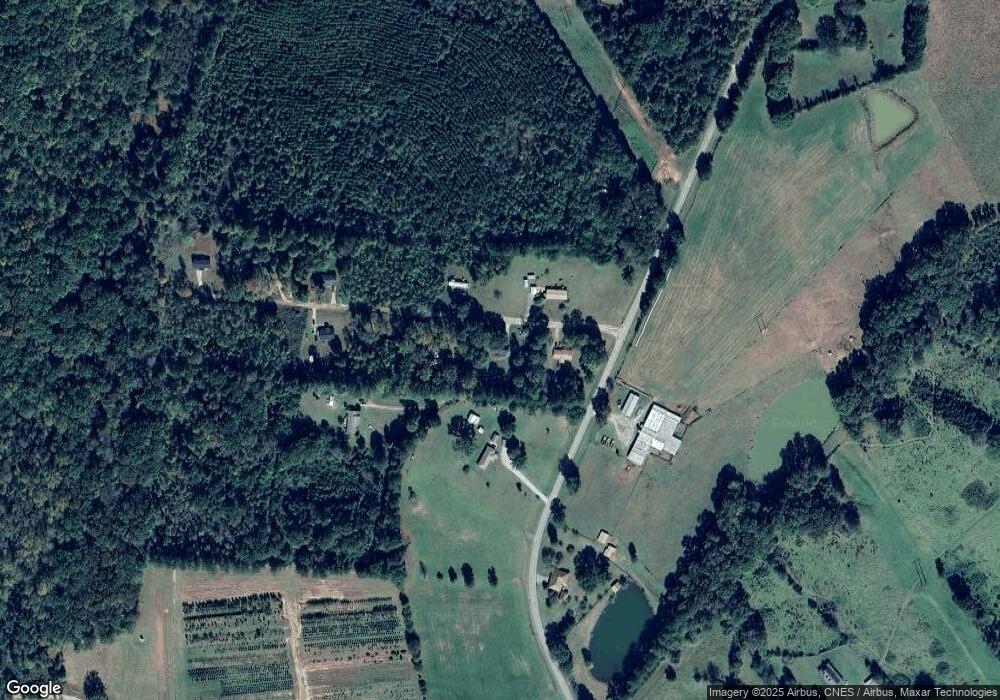
Map
Nearby Homes
- 1860 Washington Hwy
- 0 Woodland Ct Unit 10543600
- 324 N Rhodes St
- 215 Hunter St
- 202 Veazey St
- 0 Washington Hwy Unit 7276060
- 112 Hendry St
- 0 S Rhodes St Unit 10618488
- 1041 Hillcrest Dr
- 1241 Old Siloam Rd
- 5401 Union Point Hwy
- 1251 Adams Rd
- 1201 Buffalo Lick Rd
- 0 Buffalo Lick Rd Unit 10551234
- 0 Buffalo Lick Rd Unit 10551325
- 1581 Highway 77 S Hwy
- 1581 Highway 77 S
- 1110 Woodland Ln
- 1110 Woodland Way
- 0 Old Union Point Rd Unit 1 10557753
- 1020 Wesley Ln
- 2771 Temperence Bell Rd
- 2751 Temperence Bell Rd
- 2781 Temperance Bell Rd
- 1030 Wesley Ln
- 2781 Temperence Bell Rd
- 2783 Temperance Bell Rd
- 2840 Temperance Bell Rd
- 1041 Wesley Rd
- 1040 Wesley Ln
- 1041 Wesley Ln
- 1051 Wesley Ln
- 1061 Wesley Ln
- 2891 Temperence Bell Rd
- 2960 Temperance Bell Rd
- 2980 Temperence Bell Rd
- 2590 Temperance Bell Rd
- 1610 Washington Hwy
- 2530 Temperence Bell Rd
- 1491 Washington Hwy