10100 Byron Rd Howell, MI 48855
Estimated Value: $791,000 - $793,949
4
Beds
4
Baths
3,652
Sq Ft
$217/Sq Ft
Est. Value
About This Home
This home is located at 10100 Byron Rd, Howell, MI 48855 and is currently estimated at $792,475, approximately $216 per square foot. 10100 Byron Rd is a home located in Livingston County with nearby schools including Byron Area Elementary School, Byron Area Middle School, and Byron Area High School.
Ownership History
Date
Name
Owned For
Owner Type
Purchase Details
Closed on
Oct 3, 2019
Sold by
Lewis Donald E
Bought by
Lewis Gabriel David and Lewis Jacob Edward
Current Estimated Value
Purchase Details
Closed on
Oct 28, 2016
Sold by
Heaman Patrice and Heaman James P
Bought by
Hertz Jeremy
Purchase Details
Closed on
Jan 26, 2002
Sold by
Johncox Peggy and Lewis Pamela
Bought by
Lewis Donald E and Lewis Pamela
Create a Home Valuation Report for This Property
The Home Valuation Report is an in-depth analysis detailing your home's value as well as a comparison with similar homes in the area
Home Values in the Area
Average Home Value in this Area
Purchase History
| Date | Buyer | Sale Price | Title Company |
|---|---|---|---|
| Lewis Gabriel David | -- | None Listed On Document | |
| Hertz Jeremy | $262,000 | Select Title Company | |
| Lewis Donald E | -- | -- | |
| Lewis Donald E | -- | American Title Co |
Source: Public Records
Tax History
| Year | Tax Paid | Tax Assessment Tax Assessment Total Assessment is a certain percentage of the fair market value that is determined by local assessors to be the total taxable value of land and additions on the property. | Land | Improvement |
|---|---|---|---|---|
| 2025 | $1,783 | $416,200 | $0 | $0 |
| 2024 | $1,732 | $394,500 | $0 | $0 |
| 2023 | $1,652 | $372,200 | $0 | $0 |
| 2022 | $3,470 | $308,000 | $0 | $0 |
| 2020 | $3,470 | $309,900 | $0 | $0 |
| 2019 | $3,370 | $295,300 | $0 | $0 |
| 2018 | $3,365 | $231,200 | $0 | $0 |
| 2017 | $3,213 | $231,200 | $0 | $0 |
| 2016 | $3,226 | $213,500 | $0 | $0 |
| 2014 | $3,480 | $201,700 | $0 | $0 |
| 2012 | $3,480 | $143,000 | $0 | $0 |
Source: Public Records
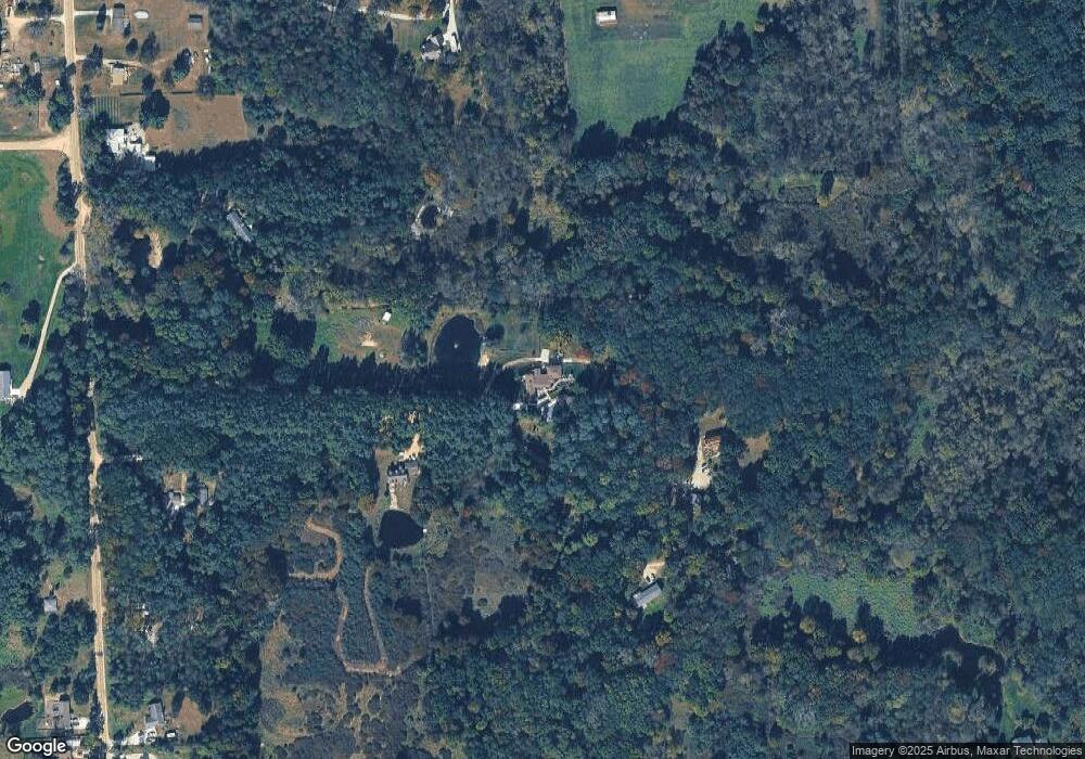
Map
Nearby Homes
- 9631 Byron Rd
- Pine Knob Rd Lot Unit WP001
- 0 Lovejoy Rd Unit 20261017550
- N Schrepfer Rd
- L Schrepfer Rd
- VL W Bruff Rd
- 0 Hayner Rd Unit 20251044211
- 2555 E Cohoctah Rd
- 7350 Sanford Rd
- 14830 County Line Rd
- 2160 E Jones Rd
- 8300 Wiggins Rd
- 00 Lehring and Britton Roads
- Parcel E Turkey Trail
- Parcel F Turkey Trail
- Parcel D Turkey Trail
- 206 Emmett
- 6160 Brambleberry Ln
- 4042 Burns Rd
- 00 E Allen Rd
Your Personal Tour Guide
Ask me questions while you tour the home.