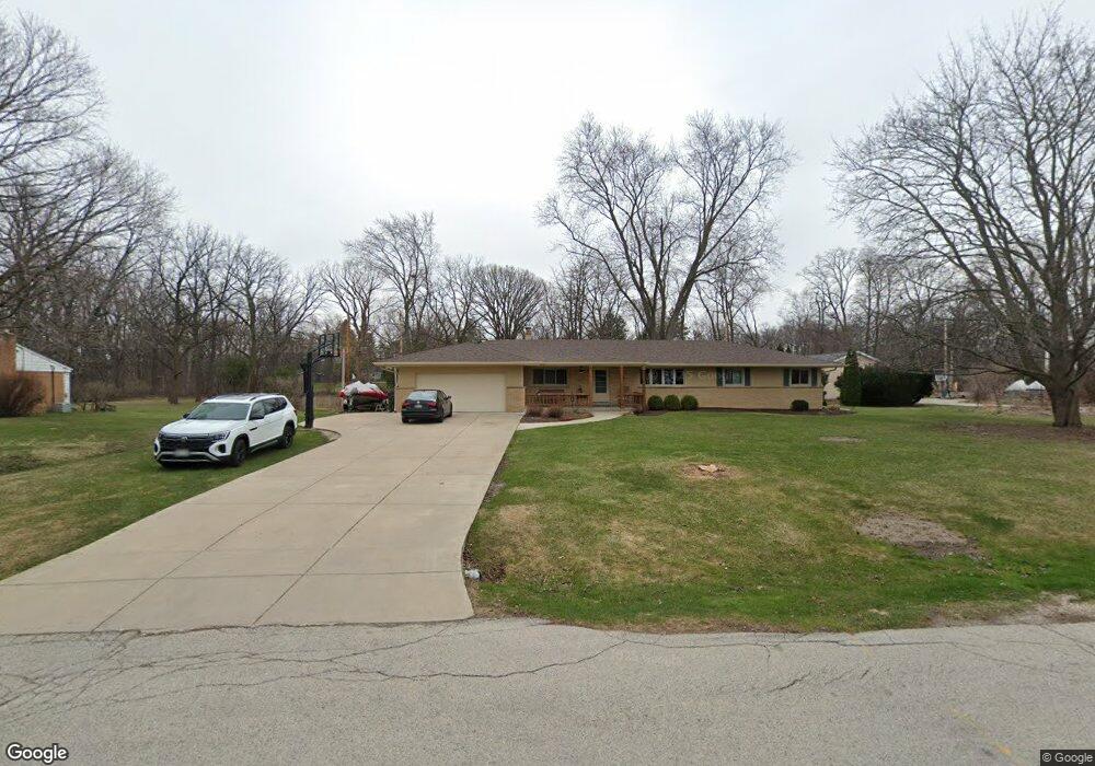
10101 Brookside Dr Hales Corners, WI 53130
Estimated Value: $389,124 - $516,000
--
Bed
--
Bath
--
Sq Ft
0.85
Acres
About This Home
This home is located at 10101 Brookside Dr, Hales Corners, WI 53130 and is currently estimated at $440,281. 10101 Brookside Dr is a home located in Milwaukee County with nearby schools including Hales Corners Elementary School, Whitnall Middle School, and Whitnall High School.
Ownership History
Date
Name
Owned For
Owner Type
Purchase Details
Closed on
Mar 28, 2005
Sold by
Wierzbicki Eugene
Bought by
Paikowski Derek and Paikowski Kelly
Current Estimated Value
Home Financials for this Owner
Home Financials are based on the most recent Mortgage that was taken out on this home.
Original Mortgage
$104,000
Outstanding Balance
$54,016
Interest Rate
5.88%
Mortgage Type
Fannie Mae Freddie Mac
Estimated Equity
$386,265
Create a Home Valuation Report for This Property
The Home Valuation Report is an in-depth analysis detailing your home's value as well as a comparison with similar homes in the area
Home Values in the Area
Average Home Value in this Area
Purchase History
| Date | Buyer | Sale Price | Title Company |
|---|---|---|---|
| Paikowski Derek | $240,000 | -- |
Source: Public Records
Mortgage History
| Date | Status | Borrower | Loan Amount |
|---|---|---|---|
| Open | Paikowski Derek | $104,000 |
Source: Public Records
Tax History Compared to Growth
Tax History
| Year | Tax Paid | Tax Assessment Tax Assessment Total Assessment is a certain percentage of the fair market value that is determined by local assessors to be the total taxable value of land and additions on the property. | Land | Improvement |
|---|---|---|---|---|
| 2024 | $5,858 | $346,600 | $78,000 | $268,600 |
| 2023 | $5,858 | $346,600 | $78,000 | $268,600 |
| 2022 | $5,892 | $239,500 | $75,500 | $164,000 |
| 2021 | $5,661 | $239,500 | $75,500 | $164,000 |
| 2020 | $5,902 | $239,500 | $75,500 | $164,000 |
| 2019 | $5,932 | $239,500 | $75,500 | $164,000 |
| 2018 | $6,163 | $239,500 | $75,500 | $164,000 |
| 2017 | $5,888 | $239,500 | $75,500 | $164,000 |
| 2016 | $5,783 | $239,500 | $75,500 | $164,000 |
| 2015 | $5,891 | $246,800 | $84,200 | $162,600 |
| 2014 | $5,572 | $246,800 | $84,200 | $162,600 |
| 2013 | $5,916 | $246,800 | $84,200 | $162,600 |
Source: Public Records
Map
Nearby Homes
- 10125 W Ridge Rd
- 10201 Brookside Dr
- 5065 S 102nd St
- 10555 W Parnell Ave
- 5175 S Root River Pkwy Unit 6
- 8957 Woodbridge Dr Unit 8957
- 5121 S 111th St
- 11111 W Edgerton Ave
- 8866 Greenmeadow Ln
- 8805 Greenmeadow Ln
- 4657 S 114th St
- 4475 S 108th St
- 10380 W Whitnall Edge Cir Unit H
- 10376 W Whitnall Edge Ct Unit 201
- 4962 S 82nd St
- 5701 S 121st St
- 10081 W Whitnall Edge Dr Unit F
- 10464 W Whitnall Edge Dr Unit 203
- 6506 S Parkedge Cir Unit 117C
- 10340 W Parkwood Dr
- 10121 Brookside Dr
- 10021 Brookside Dr
- 10040 Brookside Dr
- 10108 W Brookside Dr
- 10009 Brookside Dr
- 10108 Brookside Dr
- 10110 W Ridge Rd
- 10130 W Ridge Rd
- 10016 Brookside Dr
- 10052 Brookside Dr
- 10028 W Ridge Rd
- 10140 W Ridge Rd
- 10132 Brookside Dr
- 10202 W Ridge Rd
- 5289 S 100th St
- 9945 Brookside Dr
- 10202 Brookside Dr
- 10205 Brookside Dr
- 5269 S 100th St
- 10220 W Ridge Rd