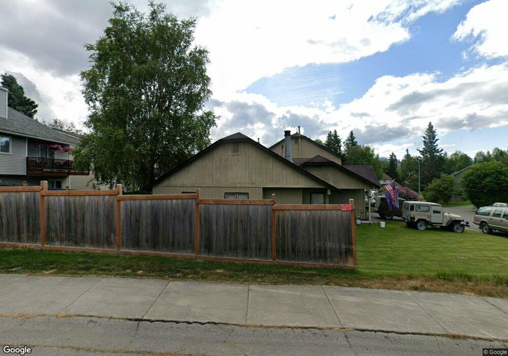
10101 Nantucket Loop Anchorage, AK 99507
Abbott Loop NeighborhoodEstimated Value: $276,525 - $623,000
2
Beds
2
Baths
1,044
Sq Ft
$404/Sq Ft
Est. Value
About This Home
This home is located at 10101 Nantucket Loop, Anchorage, AK 99507 and is currently estimated at $421,381, approximately $403 per square foot. 10101 Nantucket Loop is a home located in Anchorage Municipality with nearby schools including Spring Hill Elementary School, Hanshew Middle School, and Service High School.
Ownership History
Date
Name
Owned For
Owner Type
Purchase Details
Closed on
Jul 28, 1988
Sold by
Alaska Housing Finance Corp
Bought by
Laplante Daniel Leo
Current Estimated Value
Home Financials for this Owner
Home Financials are based on the most recent Mortgage that was taken out on this home.
Original Mortgage
$55,550
Interest Rate
10.39%
Mortgage Type
VA
Create a Home Valuation Report for This Property
The Home Valuation Report is an in-depth analysis detailing your home's value as well as a comparison with similar homes in the area
Home Values in the Area
Average Home Value in this Area
Purchase History
| Date | Buyer | Sale Price | Title Company |
|---|---|---|---|
| Laplante Daniel Leo | -- | -- |
Source: Public Records
Mortgage History
| Date | Status | Borrower | Loan Amount |
|---|---|---|---|
| Closed | Laplante Daniel Leo | $55,550 |
Source: Public Records
Tax History
| Year | Tax Paid | Tax Assessment Tax Assessment Total Assessment is a certain percentage of the fair market value that is determined by local assessors to be the total taxable value of land and additions on the property. | Land | Improvement |
|---|---|---|---|---|
| 2025 | $228 | $204,400 | $87,000 | $117,400 |
| 2024 | $228 | $197,500 | $87,000 | $110,500 |
| 2023 | $2,926 | $171,800 | $87,000 | $84,800 |
| 2022 | $2,826 | $167,800 | $86,900 | $80,900 |
| 2021 | $2,990 | $165,900 | $86,900 | $79,000 |
| 2020 | $53 | $192,800 | $86,900 | $105,900 |
| 2019 | $0 | $184,600 | $86,900 | $97,700 |
| 2018 | $97 | $194,900 | $82,700 | $112,200 |
| 2017 | $2,833 | $200,900 | $82,700 | $118,200 |
| 2016 | $2,770 | $195,500 | $79,500 | $116,000 |
| 2015 | $2,770 | $213,500 | $79,500 | $134,000 |
| 2014 | $2,770 | $202,900 | $79,500 | $123,400 |
Source: Public Records
Map
Nearby Homes
- 10229 Jamestown Dr Unit 605
- 8000 Independence Park Dr
- 9751 Newhaven Loop
- 1900-1941 Marthas Vineyard Cir
- 9715 Independence Dr Unit B306
- 9750 Vanguard Dr Unit 54
- 1962 Commodore Dr
- 2211 Sentry Dr Unit B6
- 9710 Vanguard Dr Unit 80
- 1935 Commodore Dr
- 2300 Sentry Dr Unit E102
- 2300 Sentry Dr Unit E106
- 2430 Sentry Dr Unit B306
- 9599 Brayton Dr Unit 422
- 9130 Golovin St
- 9499 Brayton Dr Unit 39
- 9499 Brayton Dr Unit 152
- 9499 Brayton Dr Unit 245
- NHN Red Sky Cir
- 11135 Red Sky Cir
- 10105 Nantucket Loop
- 10111 Nantucket Loop
- 2310 Yorktown Cir
- 2320 Yorktown Cir
- 10115 Nantucket Loop
- 10053 Nantucket Cir
- 10100 Nantucket Loop
- 10104 Nantucket Loop
- 10104 Nantucket Loop Unit 10104
- 2330 Yorktown Cir
- 10108 Nantucket Loop
- 10119 Nantucket Loop
- 10112 Nantucket Loop
- 2340 Yorktown Cir
- 10047 Nantucket Cir
- 10052 Nantucket Cir
- 10123 Nantucket Loop
- 10116 Nantucket Loop
- 2311 Yorktown Cir
- 10194 Nantucket Loop
Your Personal Tour Guide
Ask me questions while you tour the home.