10101 Oliver Farm Rd Warrenton, VA 20186
Estimated Value: $568,000 - $702,000
3
Beds
3
Baths
2,128
Sq Ft
$303/Sq Ft
Est. Value
About This Home
This home is located at 10101 Oliver Farm Rd, Warrenton, VA 20186 and is currently estimated at $644,037, approximately $302 per square foot. 10101 Oliver Farm Rd is a home located in Fauquier County with nearby schools including Margaret M. Pierce Elementary School, W.C. Taylor Middle School, and Liberty High School.
Ownership History
Date
Name
Owned For
Owner Type
Purchase Details
Closed on
Oct 24, 2022
Sold by
Durham Meagan L and Durham John R
Bought by
Durham Meagan L
Current Estimated Value
Home Financials for this Owner
Home Financials are based on the most recent Mortgage that was taken out on this home.
Original Mortgage
$256,000
Outstanding Balance
$246,313
Interest Rate
6.02%
Mortgage Type
New Conventional
Estimated Equity
$397,724
Create a Home Valuation Report for This Property
The Home Valuation Report is an in-depth analysis detailing your home's value as well as a comparison with similar homes in the area
Home Values in the Area
Average Home Value in this Area
Purchase History
| Date | Buyer | Sale Price | Title Company |
|---|---|---|---|
| Durham Meagan L | -- | Stewart Title Guaranty Company |
Source: Public Records
Mortgage History
| Date | Status | Borrower | Loan Amount |
|---|---|---|---|
| Open | Durham Meagan L | $256,000 |
Source: Public Records
Tax History Compared to Growth
Tax History
| Year | Tax Paid | Tax Assessment Tax Assessment Total Assessment is a certain percentage of the fair market value that is determined by local assessors to be the total taxable value of land and additions on the property. | Land | Improvement |
|---|---|---|---|---|
| 2025 | $4,645 | $480,300 | $127,000 | $353,300 |
| 2024 | $4,543 | $480,300 | $127,000 | $353,300 |
| 2023 | $4,351 | $480,300 | $127,000 | $353,300 |
| 2022 | $4,351 | $480,300 | $127,000 | $353,300 |
| 2021 | $3,671 | $367,900 | $101,900 | $266,000 |
| 2020 | $3,671 | $367,900 | $101,900 | $266,000 |
| 2019 | $71 | $367,900 | $101,900 | $266,000 |
| 2018 | $3,626 | $367,900 | $101,900 | $266,000 |
| 2016 | $3,022 | $289,500 | $86,900 | $202,600 |
| 2015 | -- | $289,500 | $86,900 | $202,600 |
| 2014 | -- | $289,500 | $86,900 | $202,600 |
Source: Public Records
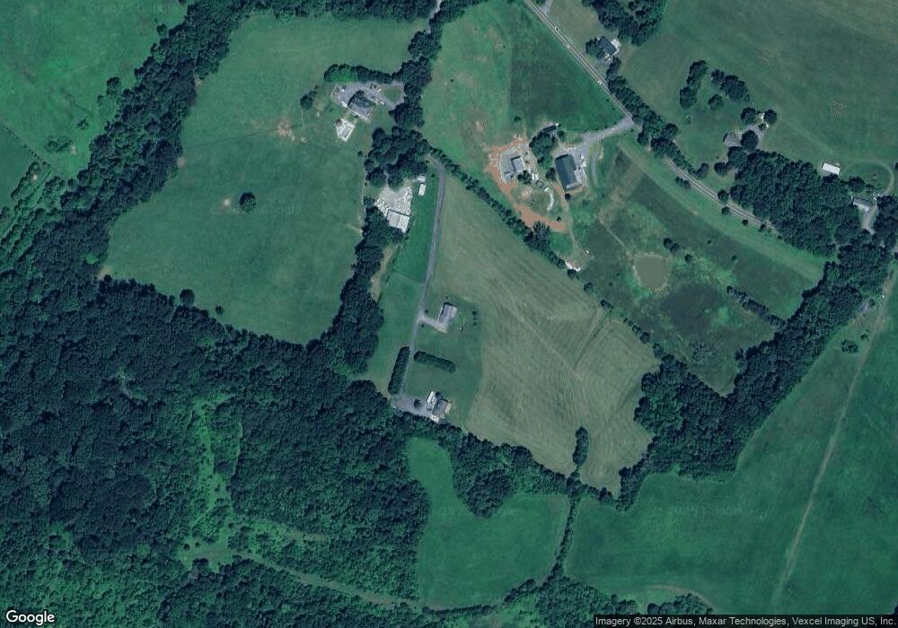
Map
Nearby Homes
- 7183 Opal Rd
- 0 Marsh Rd Unit VAFQ2018410
- 7286 Ridgedale Dr
- 7502 Amberview Ln
- 8158 Botha Rd
- 0 Botha Rd Unit VAFQ2016276
- 10482 James Madison Hwy
- 7296 Burke Ln
- 9235 Lees Ridge Rd
- 8423 Lock Ln
- 7168 Botha Rd
- 4092 Clarke St
- 7534 Hancock St
- 1080 Winter Place
- 2087 Springvale Dr
- 2083 Springvale Dr
- 2091 Springvale Dr
- 2080 Springvale Dr
- 2075 Springvale Dr
- 2076 Springvale Dr
- 10105 Oliver Farm Rd
- 7309 Opal Rd
- 7285 Opal Rd
- 10056 Oliver Farm Rd
- 7205 Opal Rd
- 7294 Opal Rd
- 7262 Opal Rd
- 7321 Opal Rd
- 7205 Opal Rd
- 7203 Opal Rd
- 7201 Opal Rd
- 7227 Opal Rd
- 7333 Opal Rd
- 7333 & 7335 Opal Rd
- 7308 Opal Rd
- 0 Unknown Unit VAFQ166362
- 0 Unknown Unit VAFQ168954
- 0 Unknown Unit VAFQ168556
- 7238 Opal Rd
- 7222 Opal Rd