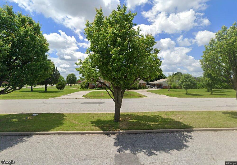
10101 SW 30th St Yukon, OK 73099
Mustang Valley NeighborhoodEstimated Value: $385,000 - $403,000
4
Beds
3
Baths
2,507
Sq Ft
$157/Sq Ft
Est. Value
About This Home
This home is located at 10101 SW 30th St, Yukon, OK 73099 and is currently estimated at $393,926, approximately $157 per square foot. 10101 SW 30th St is a home located in Canadian County with nearby schools including Mustang Valley Elementary School, Canyon Ridge Intermediate School, and Mustang North Middle School.
Ownership History
Date
Name
Owned For
Owner Type
Purchase Details
Closed on
Mar 7, 2003
Sold by
Burke Brothers Llc
Bought by
Rieck David A and Rieck Rita
Current Estimated Value
Home Financials for this Owner
Home Financials are based on the most recent Mortgage that was taken out on this home.
Original Mortgage
$161,400
Outstanding Balance
$69,284
Interest Rate
5.86%
Estimated Equity
$324,642
Purchase Details
Closed on
Dec 12, 2000
Sold by
North Fork Development Llc
Create a Home Valuation Report for This Property
The Home Valuation Report is an in-depth analysis detailing your home's value as well as a comparison with similar homes in the area
Home Values in the Area
Average Home Value in this Area
Purchase History
| Date | Buyer | Sale Price | Title Company |
|---|---|---|---|
| Rieck David A | $201,500 | -- | |
| -- | $34,000 | -- |
Source: Public Records
Mortgage History
| Date | Status | Borrower | Loan Amount |
|---|---|---|---|
| Open | Rieck David A | $161,400 |
Source: Public Records
Tax History Compared to Growth
Tax History
| Year | Tax Paid | Tax Assessment Tax Assessment Total Assessment is a certain percentage of the fair market value that is determined by local assessors to be the total taxable value of land and additions on the property. | Land | Improvement |
|---|---|---|---|---|
| 2024 | $3,830 | $35,872 | $3,855 | $32,017 |
| 2023 | $3,830 | $34,827 | $4,080 | $30,747 |
| 2022 | $3,772 | $33,813 | $4,080 | $29,733 |
| 2021 | $3,645 | $32,828 | $4,080 | $28,748 |
| 2020 | $3,571 | $31,872 | $4,080 | $27,792 |
| 2019 | $3,461 | $30,944 | $4,080 | $26,864 |
| 2018 | $3,537 | $31,048 | $4,080 | $26,968 |
| 2017 | $3,595 | $31,942 | $4,080 | $27,862 |
| 2016 | $3,652 | $33,214 | $4,080 | $29,134 |
| 2015 | $3,466 | $31,568 | $4,080 | $27,488 |
| 2014 | $3,466 | $30,679 | $4,080 | $26,599 |
Source: Public Records
Map
Nearby Homes
- 10049 SW 27th St
- 10101 SW 27th St
- 2901 Morgan Trace
- 2716 Busheywood Dr
- 2828 Ryder Dr
- 10065 SW 29
- 2808 Ryder Dr
- 10109 SW 25th Ct
- 2509 Crystal Creek Dr
- 9809 SW 33rd St
- 3213 Open Prairie Trail
- 3317 Open Prairie Trail
- 3616 Wimberley Dr
- 10040 SW 22nd St
- 10217 SW 24th St
- 2525 Tracy’s Manor
- 2705 Tracys Manor
- 2405 Crystal Creek Dr
- 10025 SW 21st St
- 2705 Tracy’s Manor
- 10109 SW 30th St
- 3100 Wimberley Dr
- 10106 SW 30th St
- 10100 SW 30th St
- 10100 Daughety Dr
- 10108 Daughety Dr
- 10117 SW 30th St
- 10024 Daughety Dr
- 10116 Daughety Dr
- 3101 Wimberley Dr
- 10016 Daughety Dr
- 3101 Wimberley Creek Dr
- 3108 Wimberley Dr
- 3115 Wimberley Creek Dr
- 2917 Millspaugh Way
- 10008 Daughety Dr
- 10108 Millspaugh Way
- 10100 Millspaugh Way
- 3201 Wimberley Creek Dr
- 2909 Millspaugh Way