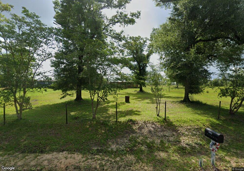
10102 Davenport Ave Youngstown, FL 32466
Estimated Value: $250,000 - $517,000
3
Beds
3
Baths
1,703
Sq Ft
$214/Sq Ft
Est. Value
About This Home
This home is located at 10102 Davenport Ave, Youngstown, FL 32466 and is currently estimated at $364,064, approximately $213 per square foot. 10102 Davenport Ave is a home located in Bay County with nearby schools including Waller Elementary School, Deane Bozeman School, and Merritt Brown Middle School.
Ownership History
Date
Name
Owned For
Owner Type
Purchase Details
Closed on
Aug 29, 2002
Sold by
Burdeshaw Ralph Clayton and Burdeshaw Sharon
Bought by
Spann Mary E and Farmer Tina
Current Estimated Value
Home Financials for this Owner
Home Financials are based on the most recent Mortgage that was taken out on this home.
Original Mortgage
$78,000
Outstanding Balance
$32,750
Interest Rate
6.31%
Estimated Equity
$331,314
Create a Home Valuation Report for This Property
The Home Valuation Report is an in-depth analysis detailing your home's value as well as a comparison with similar homes in the area
Home Values in the Area
Average Home Value in this Area
Purchase History
| Date | Buyer | Sale Price | Title Company |
|---|---|---|---|
| Spann Mary E | $128,000 | -- |
Source: Public Records
Mortgage History
| Date | Status | Borrower | Loan Amount |
|---|---|---|---|
| Open | Spann Mary E | $78,000 |
Source: Public Records
Tax History Compared to Growth
Tax History
| Year | Tax Paid | Tax Assessment Tax Assessment Total Assessment is a certain percentage of the fair market value that is determined by local assessors to be the total taxable value of land and additions on the property. | Land | Improvement |
|---|---|---|---|---|
| 2024 | $2,127 | $211,920 | -- | -- |
| 2023 | $2,127 | $205,748 | $0 | $0 |
| 2022 | $1,907 | $199,755 | $86,860 | $112,895 |
| 2021 | $1,913 | $195,223 | $86,860 | $108,363 |
| 2020 | $2,020 | $202,412 | $102,188 | $100,224 |
| 2019 | $1,946 | $158,839 | $71,532 | $87,307 |
| 2018 | $2,058 | $165,766 | $0 | $0 |
| 2017 | $2,113 | $167,245 | $0 | $0 |
| 2016 | $2,182 | $168,119 | $0 | $0 |
| 2015 | $1,780 | $168,993 | $0 | $0 |
| 2014 | $1,808 | $171,271 | $0 | $0 |
Source: Public Records
Map
Nearby Homes
- 00 Las Vegas St
- 00 Ely Ave
- 10450 River Alley Rd
- 10737 Johnson Blvd
- 11105 Fleet St
- 9410 Pembrook Place
- 9142 Tracy Way
- 10215 N Campflowers Rd
- 0 S Fork Loop Unit 769207
- 10216 N Highway 231
- 9328 Chevy Ln
- 9122 Chevy Ln
- 8735 Tower Rd
- 3820 E Highway 388
- 0 E Highway 388
- 8521 Hudson Rd
- 9323 N Hwy 231 Unit 13.51 ACRES
- 00 1st St
- 000 N Hwy 231
- 8339 Angie Cir
- 10105 Davenport Ave
- 10129 Davenport Ave
- 10129 Davenport Ave
- 10050 Davenport Ave
- 10202 Davenport Ave
- 10040 Davenport Ave
- 10037 Davenport Ave
- 10207 Davenport Ave
- 10014 Davenport Ave
- 10139 Davenport Ave
- 9936 Davenport Ave
- 9939 Davenport Ave
- 10724 Veal Rd
- 9927 Davenport Ave
- 9938 Davenport Ave
- 10822 Sauls Ln
- 10703 Veal Rd
- 10838 Sauls Ln
- 000 Sauls Ln
- 9911 Davenport Ave