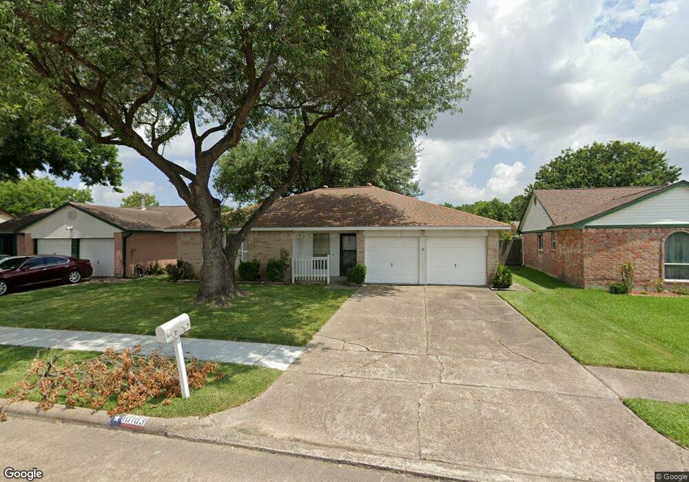
10103 Shell Rock Rd La Porte, TX 77571
Estimated Value: $234,257 - $257,000
3
Beds
2
Baths
1,489
Sq Ft
$166/Sq Ft
Est. Value
About This Home
This home is located at 10103 Shell Rock Rd, La Porte, TX 77571 and is currently estimated at $247,814, approximately $166 per square foot. 10103 Shell Rock Rd is a home located in Harris County with nearby schools including Jennie Reid Elementary School, La Porte Junior High School, and La Porte High School.
Ownership History
Date
Name
Owned For
Owner Type
Purchase Details
Closed on
Aug 29, 2003
Sold by
Phillips Ronald S
Bought by
Sute Richard A
Current Estimated Value
Home Financials for this Owner
Home Financials are based on the most recent Mortgage that was taken out on this home.
Original Mortgage
$69,300
Outstanding Balance
$31,328
Interest Rate
5.87%
Mortgage Type
Purchase Money Mortgage
Estimated Equity
$216,486
Create a Home Valuation Report for This Property
The Home Valuation Report is an in-depth analysis detailing your home's value as well as a comparison with similar homes in the area
Home Values in the Area
Average Home Value in this Area
Purchase History
| Date | Buyer | Sale Price | Title Company |
|---|---|---|---|
| Sute Richard A | -- | Texas American Title Company |
Source: Public Records
Mortgage History
| Date | Status | Borrower | Loan Amount |
|---|---|---|---|
| Open | Sute Richard A | $69,300 |
Source: Public Records
Tax History Compared to Growth
Tax History
| Year | Tax Paid | Tax Assessment Tax Assessment Total Assessment is a certain percentage of the fair market value that is determined by local assessors to be the total taxable value of land and additions on the property. | Land | Improvement |
|---|---|---|---|---|
| 2025 | $5,159 | $221,949 | $68,381 | $153,568 |
| 2024 | $5,159 | $210,805 | $55,356 | $155,449 |
| 2023 | $5,159 | $224,219 | $55,356 | $168,863 |
| 2022 | $5,453 | $205,178 | $55,356 | $149,822 |
| 2021 | $4,802 | $176,476 | $45,587 | $130,889 |
| 2020 | $4,755 | $170,742 | $33,539 | $137,203 |
| 2019 | $4,959 | $170,742 | $33,539 | $137,203 |
| 2018 | $3,174 | $151,849 | $29,306 | $122,543 |
| 2017 | $4,476 | $151,849 | $29,306 | $122,543 |
| 2016 | $3,821 | $129,628 | $26,050 | $103,578 |
| 2015 | $3,382 | $115,730 | $26,050 | $89,680 |
| 2014 | $3,382 | $113,426 | $16,281 | $97,145 |
Source: Public Records
Map
Nearby Homes
- 10110 Willmont Rd
- 10338 Shell Rock Rd
- 3915 Rosemont Dr
- 3422 Valley Brook Dr
- 10102 Barmont Dr
- 9831 Shell Rock Rd
- 10331 Collingswood Rd
- 9910 Stonemont Rd
- 10226 Carlow Ln
- 9807 Rocky Hollow Rd
- 9807 Charmont Rd
- 9734 Oakmont Dr
- 9731 Shell Rock Rd
- 10318 Belfast Rd
- 10346 Carlow Ln
- 10434 Rocky Hollow Rd
- 10438 Rustic Gate Rd
- 3863 Pecan Cir
- 10326 Antrim Ln
- 5213 Creekview Dr
- 10035 Shell Rock Rd
- 10107 Shell Rock Rd
- 10102 Rustic Rock Rd
- 10034 Rustic Rock Rd
- 10111 Shell Rock Rd
- 10106 Rustic Rock Rd
- 10031 Shell Rock Rd
- 10030 Rustic Rock Rd
- 10102 Shell Rock Rd
- 10110 Rustic Rock Rd
- 10030 Shell Rock Rd
- 10106 Shell Rock Rd
- 10115 Shell Rock Rd
- 10027 Shell Rock Rd
- 10114 Rustic Rock Rd
- 10026 Shell Rock Rd
- 10026 Rustic Rock Rd
- 10110 Shell Rock Rd
- 10119 Shell Rock Rd
- 10023 Shell Rock Rd