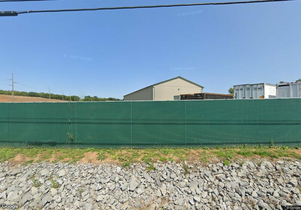
10104 Wayne Hwy Waynesboro, PA 17268
Estimated Value: $1,443,095
--
Bed
--
Bath
--
Sq Ft
78.6
Acres
About This Home
This home is located at 10104 Wayne Hwy, Waynesboro, PA 17268 and is currently estimated at $1,443,095. 10104 Wayne Hwy is a home located in Franklin County with nearby schools including Waynesboro Area Senior High School, St. Andrew Catholic School, and Noah's Ark Christian Child Care Center.
Ownership History
Date
Name
Owned For
Owner Type
Purchase Details
Closed on
Dec 28, 2007
Sold by
Rice C Burnell and Rice Mary L
Bought by
Long Daniel S
Current Estimated Value
Home Financials for this Owner
Home Financials are based on the most recent Mortgage that was taken out on this home.
Original Mortgage
$770,000
Outstanding Balance
$488,819
Interest Rate
6.27%
Mortgage Type
Purchase Money Mortgage
Estimated Equity
$954,276
Create a Home Valuation Report for This Property
The Home Valuation Report is an in-depth analysis detailing your home's value as well as a comparison with similar homes in the area
Home Values in the Area
Average Home Value in this Area
Purchase History
| Date | Buyer | Sale Price | Title Company |
|---|---|---|---|
| Long Daniel S | $795,000 | None Available |
Source: Public Records
Mortgage History
| Date | Status | Borrower | Loan Amount |
|---|---|---|---|
| Open | Long Daniel S | $770,000 |
Source: Public Records
Tax History Compared to Growth
Tax History
| Year | Tax Paid | Tax Assessment Tax Assessment Total Assessment is a certain percentage of the fair market value that is determined by local assessors to be the total taxable value of land and additions on the property. | Land | Improvement |
|---|---|---|---|---|
| 2025 | $7,879 | $54,000 | $10,100 | $43,900 |
| 2024 | $6,003 | $42,450 | $10,100 | $32,350 |
| 2023 | $5,837 | $42,450 | $10,100 | $32,350 |
| 2022 | $5,668 | $42,450 | $10,100 | $32,350 |
| 2021 | $6,056 | $46,760 | $10,100 | $36,660 |
| 2020 | $6,056 | $46,760 | $10,100 | $36,660 |
| 2019 | $5,916 | $46,760 | $10,100 | $36,660 |
| 2018 | $5,717 | $46,760 | $10,100 | $36,660 |
| 2017 | $7,128 | $59,640 | $10,100 | $49,540 |
| 2016 | $1,709 | $59,640 | $10,100 | $49,540 |
| 2015 | $1,592 | $59,640 | $10,100 | $49,540 |
| 2014 | $1,592 | $59,640 | $10,100 | $49,540 |
Source: Public Records
Map
Nearby Homes
- 115 Coquina Sands Dr
- 129 Coquina Sands Dr Unit 51
- 6159 Orphanage Rd
- 336 Fairmount Ave
- 303 Grandview Ave
- 305 Grandview Ave
- TBD Harrier Way
- 5385 Harrier Way
- 5377 Harrier Way
- 8655 Wayne Hwy
- TBD Whippet Trail
- 0 Unit PAFL2024590
- 0 Juliet Plan at Hickory Pointe Unit PAFL2029240
- 0 Unit PAFL2024618
- 0 Unit PAFL2024592
- 0 Unit PAFL2024598
- Beacon Pointe Plan at Hickory Pointe
- Juliet Plan at Hickory Pointe
- Revere Plan at Hickory Pointe
- 10117 Wayne Hwy
- 10091 Wayne Hwy
- 10137 Wayne Hwy
- 9949 Wayne Hwy
- 10329 Wayne Hwy
- 0 Wayne Hwy Unit 1006925896
- 10069 Wayne Hwy
- 10069 Wayne Hwy
- 6489 Nunnery Rd
- 6509 Nunnery Rd
- 6374 Nunnery Rd
- 10333 Wayne Hwy
- 9771 Wayne Hwy
- 6553 Nunnery Rd
- 6563 Nunnery Rd
- 6571 Nunnery Rd
- 9712 Wayne Hwy
- 10495 Wayne Hwy
- 6611 Nunnery Rd
- 9715 Wayne Hwy