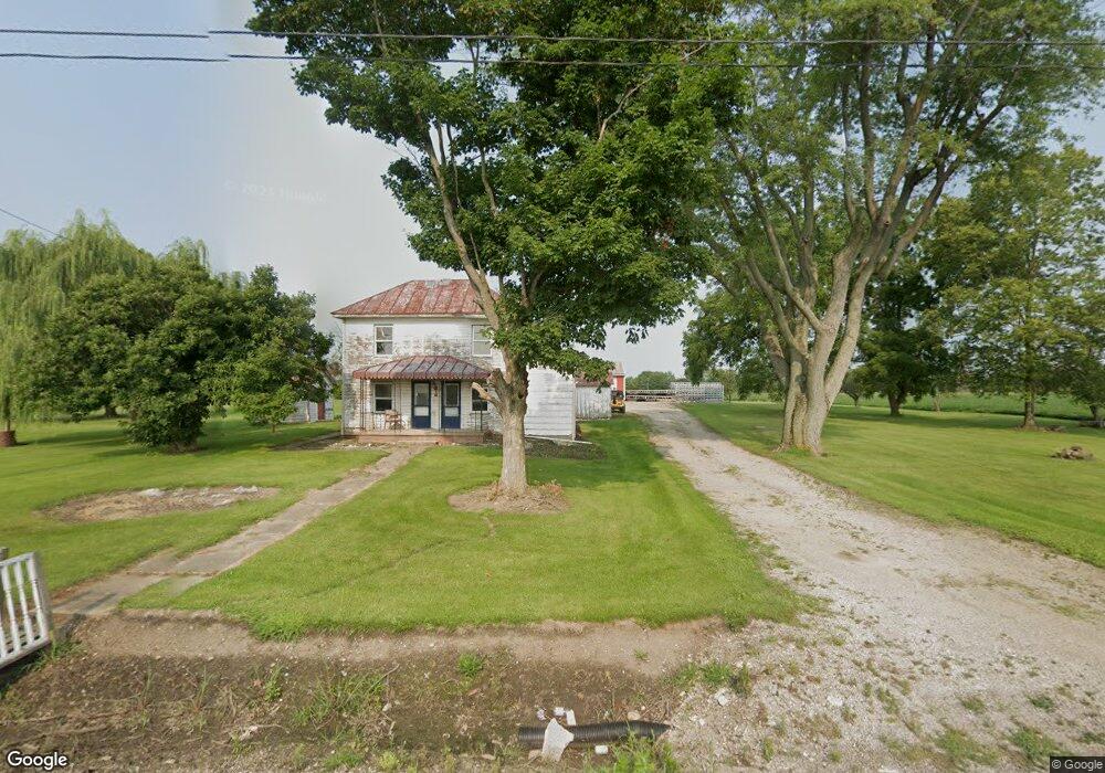
10105 Millersport Rd NE Millersport, OH 43046
Estimated Value: $147,000 - $354,000
4
Beds
1
Bath
1,572
Sq Ft
$168/Sq Ft
Est. Value
About This Home
This home is located at 10105 Millersport Rd NE, Millersport, OH 43046 and is currently estimated at $264,806, approximately $168 per square foot. 10105 Millersport Rd NE is a home located in Fairfield County with nearby schools including Millersport Elementary School and Millersport Jr/Sr High School.
Ownership History
Date
Name
Owned For
Owner Type
Purchase Details
Closed on
Jan 12, 2018
Sold by
Spencer Patricia S and Spencer Albert D
Bought by
Manifold Roaer and Manifold Kelly
Current Estimated Value
Purchase Details
Closed on
Mar 31, 2008
Sold by
Allen James W and Benson Wilma Joan
Bought by
Spencer Albert D
Home Financials for this Owner
Home Financials are based on the most recent Mortgage that was taken out on this home.
Original Mortgage
$110,000
Interest Rate
6.1%
Mortgage Type
Purchase Money Mortgage
Create a Home Valuation Report for This Property
The Home Valuation Report is an in-depth analysis detailing your home's value as well as a comparison with similar homes in the area
Home Values in the Area
Average Home Value in this Area
Purchase History
| Date | Buyer | Sale Price | Title Company |
|---|---|---|---|
| Manifold Roaer | $82,000 | None Available | |
| Spencer Albert D | $110,000 | Attorney |
Source: Public Records
Mortgage History
| Date | Status | Borrower | Loan Amount |
|---|---|---|---|
| Previous Owner | Spencer Albert D | $110,000 |
Source: Public Records
Tax History Compared to Growth
Tax History
| Year | Tax Paid | Tax Assessment Tax Assessment Total Assessment is a certain percentage of the fair market value that is determined by local assessors to be the total taxable value of land and additions on the property. | Land | Improvement |
|---|---|---|---|---|
| 2024 | $3,085 | $51,330 | $18,900 | $32,430 |
| 2023 | $2,034 | $51,330 | $18,900 | $32,430 |
| 2022 | $2,045 | $51,330 | $18,900 | $32,430 |
| 2021 | $1,782 | $40,210 | $17,190 | $23,020 |
| 2020 | $1,788 | $40,210 | $17,190 | $23,020 |
| 2019 | $1,788 | $40,210 | $17,190 | $23,020 |
| 2018 | $1,144 | $32,950 | $15,830 | $17,120 |
| 2017 | $1,684 | $33,670 | $15,830 | $17,840 |
| 2016 | $1,554 | $33,670 | $15,830 | $17,840 |
| 2015 | $1,514 | $32,280 | $15,830 | $16,450 |
| 2014 | $1,229 | $32,280 | $15,830 | $16,450 |
| 2013 | $1,229 | $32,280 | $15,830 | $16,450 |
Source: Public Records
Map
Nearby Homes
- 11253 Millersport Rd
- 9915 Lancaster-Newark Rd NE
- 0 Lake Rd NE
- 10159 Lake Rd NE
- 2583 Mallard Point Ln
- 0 Blacklick-Eastern Rd NE
- 2484 Mallard Point Ln
- 2485 Mallard Point Ln
- 11999 Broad St
- 2595 Canal Dr
- 12055 7th Ave
- 8105 Long St
- 0 Baltimore Somerset Rd NE
- 8101 High St
- 8095 High St
- 2500 Main St
- 3317 S Bank Rd NE
- 3333 S Bank Rd NE
- 2582 E Park St
- 8061 Maple St
- 10071 Millersport Rd NE
- 10035 Millersport Rd NE
- 10310 Millersport Rd NE
- 10340 Millersport Rd NE
- 10380 Millersport Rd NE
- 10380 Millersport Rd NE
- 10505 Millersport Rd NE
- 2940 Bickel Church Rd NE
- 2256 Canal Rd NE
- 9475 Millersport Rd NE
- 3120 Bickel Church Rd NE
- 10881 Millersport Rd NE
- 2715 Canal Rd NE
- 1696 Bickel Church Rd NE
- 10925 Millersport Rd NE
- 2985 Canal Rd NE
- 2715 Geiger Rd NE
- 11011 Millersport Rd NE
- 9401 Ruffner Rd NE
- 10820 Deep Cut Rd NE