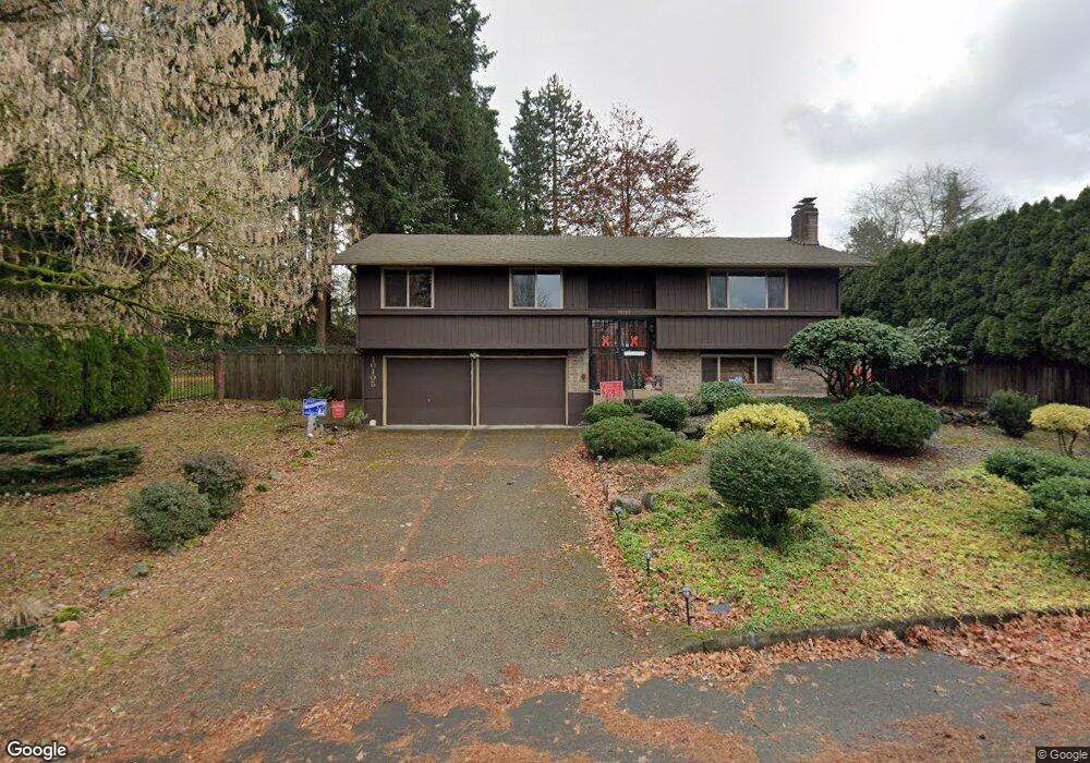
10105 NE 21st St Vancouver, WA 98664
Burton Ridge NeighborhoodEstimated Value: $462,000 - $496,505
4
Beds
5
Baths
1,256
Sq Ft
$384/Sq Ft
Est. Value
About This Home
This home is located at 10105 NE 21st St, Vancouver, WA 98664 and is currently estimated at $482,876, approximately $384 per square foot. 10105 NE 21st St is a home located in Clark County with nearby schools including Fircrest Elementary School, Cascade Middle School, and Evergreen High School.
Ownership History
Date
Name
Owned For
Owner Type
Purchase Details
Closed on
Apr 14, 2003
Sold by
Ibarreta Glenn T and Ibarreta Maria Lourdes Isabel
Bought by
Lassman Susan J
Current Estimated Value
Home Financials for this Owner
Home Financials are based on the most recent Mortgage that was taken out on this home.
Original Mortgage
$131,160
Outstanding Balance
$55,724
Interest Rate
5.6%
Mortgage Type
Purchase Money Mortgage
Estimated Equity
$427,152
Create a Home Valuation Report for This Property
The Home Valuation Report is an in-depth analysis detailing your home's value as well as a comparison with similar homes in the area
Home Values in the Area
Average Home Value in this Area
Purchase History
| Date | Buyer | Sale Price | Title Company |
|---|---|---|---|
| Lassman Susan J | $163,950 | Fidelity National Title |
Source: Public Records
Mortgage History
| Date | Status | Borrower | Loan Amount |
|---|---|---|---|
| Open | Lassman Susan J | $131,160 | |
| Closed | Lassman Susan J | $32,790 |
Source: Public Records
Tax History Compared to Growth
Tax History
| Year | Tax Paid | Tax Assessment Tax Assessment Total Assessment is a certain percentage of the fair market value that is determined by local assessors to be the total taxable value of land and additions on the property. | Land | Improvement |
|---|---|---|---|---|
| 2025 | $402 | $453,213 | $181,350 | $271,863 |
| 2024 | $433 | $464,672 | $181,350 | $283,322 |
| 2023 | $409 | $457,730 | $181,350 | $276,380 |
| 2022 | $471 | $435,781 | $181,350 | $254,431 |
| 2021 | $507 | $374,764 | $155,000 | $219,764 |
| 2020 | $513 | $319,368 | $122,500 | $196,868 |
| 2019 | $519 | $304,967 | $107,100 | $197,867 |
| 2018 | $559 | $88,637 | $0 | $0 |
| 2017 | $595 | $88,637 | $0 | $0 |
| 2016 | $2,762 | $88,637 | $0 | $0 |
| 2015 | $849 | $221,593 | $0 | $0 |
| 2014 | -- | $117,006 | $0 | $0 |
| 2013 | -- | $115,966 | $0 | $0 |
Source: Public Records
Map
Nearby Homes
- 10303 NE 22nd St
- 10402 NE 21st St
- 1903 NE 104th Ave
- 2017 NE 96th Ct
- 9910 NE 15th St
- 1904 NE 107th Ave
- 10605 NE 19th St
- 1421 NE 100th Ave
- 2305 NE 94th Ct
- 9818 NE 14th St
- 9511 NE Pinecreek St
- 2010 NE 111th Ct
- 9208 NE 27th St
- 1604 NE 91st Ave
- 1007 NE 100th Ave
- 1411 NE 90th Ave
- 11210 NE 16th St
- 11401 NE 23rd St
- 10610 NE 10th St
- 2218 NE 115th Ct
- 2019 NE Cranbrook Dr
- 2015 NE Cranbrook Dr
- 10117 NE 21st St
- 2011 NE Cranbrook Dr
- 10106 NE 21st St
- 10100 NE 21st St
- 2104 NE Cranbrook Dr
- 2009 NE Cranbrook Dr
- 2100 NE Cranbrook Dr
- 2107 NE Cranbrook Dr
- 2107 NE 102nd Ave
- 2106 NE Cranbrook Dr
- 2200 NE 102nd Ave
- 10016 NE 20th St
- 10006 NE 21st St
- 10217 NE 21st St
- 1921 NE 101st Ave
- 10007 NE 21st St
- 10024 NE 20th St
- 2201 NE Cranbrook Dr