10106 Blansford Way Middle River, MD 21220
Estimated Value: $429,000 - $529,000
--
Bed
1
Bath
2,320
Sq Ft
$204/Sq Ft
Est. Value
About This Home
This home is located at 10106 Blansford Way, Middle River, MD 21220 and is currently estimated at $472,796, approximately $203 per square foot. 10106 Blansford Way is a home located in Baltimore County with nearby schools including Vincent Farm Elementary, Middle River Middle School, and Kenwood High.
Ownership History
Date
Name
Owned For
Owner Type
Purchase Details
Closed on
Nov 28, 2018
Sold by
Nvr Inc
Bought by
Coleman Reed Dina and Reed Andre
Current Estimated Value
Home Financials for this Owner
Home Financials are based on the most recent Mortgage that was taken out on this home.
Original Mortgage
$367,290
Outstanding Balance
$323,590
Interest Rate
4.8%
Mortgage Type
VA
Estimated Equity
$149,206
Purchase Details
Closed on
Dec 30, 2010
Sold by
Tito Inc
Bought by
Tito Realty Llc
Create a Home Valuation Report for This Property
The Home Valuation Report is an in-depth analysis detailing your home's value as well as a comparison with similar homes in the area
Home Values in the Area
Average Home Value in this Area
Purchase History
| Date | Buyer | Sale Price | Title Company |
|---|---|---|---|
| Coleman Reed Dina | $359,560 | Nvr Settlement Services Inc | |
| Tito Realty Llc | -- | None Available |
Source: Public Records
Mortgage History
| Date | Status | Borrower | Loan Amount |
|---|---|---|---|
| Open | Coleman Reed Dina | $367,290 |
Source: Public Records
Tax History Compared to Growth
Tax History
| Year | Tax Paid | Tax Assessment Tax Assessment Total Assessment is a certain percentage of the fair market value that is determined by local assessors to be the total taxable value of land and additions on the property. | Land | Improvement |
|---|---|---|---|---|
| 2025 | $5,747 | $398,233 | -- | -- |
| 2024 | $5,747 | $375,267 | $0 | $0 |
| 2023 | $2,549 | $352,300 | $94,000 | $258,300 |
| 2022 | $4,883 | $341,133 | $0 | $0 |
| 2021 | $5,022 | $329,967 | $0 | $0 |
| 2020 | $4,752 | $318,800 | $94,000 | $224,800 |
| 2019 | $3,786 | $312,400 | $0 | $0 |
| 2018 | $968 | $57,200 | $57,200 | $0 |
| 2017 | $237 | $19,700 | $0 | $0 |
| 2016 | $238 | $19,700 | $0 | $0 |
| 2015 | $238 | $19,700 | $0 | $0 |
| 2014 | $238 | $19,700 | $0 | $0 |
Source: Public Records
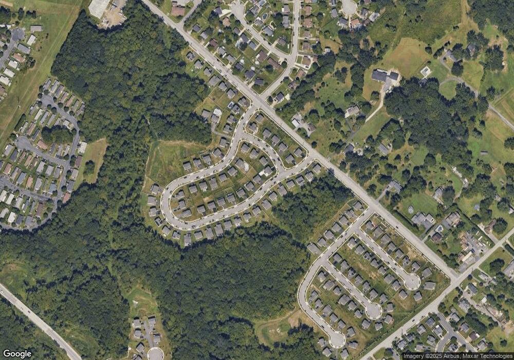
Map
Nearby Homes
- 10002 Campbell Blvd
- 1325 Sligh Ln
- 10018 Campbell Blvd
- HADLEY Plan at Creekside Estates
- JADE Plan at Creekside Estates
- ALEC Plan at Creekside Estates
- BROWLYN Plan at Creekside Estates
- Hampshire Plan at Creekside Estates
- Summit Plan at Creekside Estates
- 1114 Muddy Branch Ct
- 1112 Muddy Branch Ct
- 1108 Muddy Branch Ct
- 9864 Greenbriar Way
- 1113 Muddy Branch Ct
- 0 Bird River Rd Unit MDBC2136640
- 902 White Hawk Ct
- 10018 Sandy Run Rd
- 5711 Charlies Way
- Presley Plan at Vincent Estates
- Melody Plan at Vincent Estates
- 10108 Blansford Way
- 1104 Leystone Way
- 10110 Blansford Way
- 1102 Leystone Way
- 10210 Blansford Way
- 10208 Blansford Way
- 10113 Blansford Way
- 10111 Blansford Way
- 10109 Blansford Way
- 10112 Blansford Way
- 10115 Blansford Way
- 10206 Blansford Way
- 1106 Leystone Way
- 10107 Blansford Way
- 10102 Blansford Way
- 10117 Blansford Pkwy
- 10117 Blansford Way
- 10114 Blansford Way
- 10105 Blansford Way
- 10204 Blansford Way