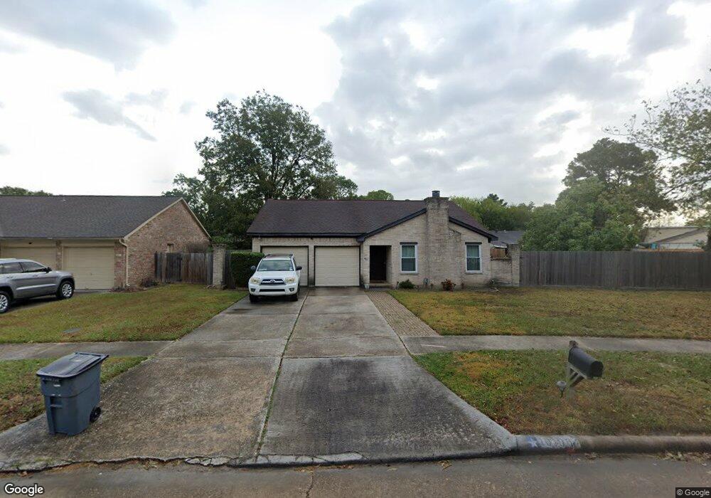
10106 Coralstone Rd Houston, TX 77086
North Houston NeighborhoodEstimated Value: $230,000 - $258,000
3
Beds
2
Baths
1,913
Sq Ft
$126/Sq Ft
Est. Value
About This Home
This home is located at 10106 Coralstone Rd, Houston, TX 77086 and is currently estimated at $240,544, approximately $125 per square foot. 10106 Coralstone Rd is a home located in Harris County with nearby schools including Kujawa EC/Pre-K/K School, Carmichael Elementary School, and Shotwell Middle School.
Ownership History
Date
Name
Owned For
Owner Type
Purchase Details
Closed on
Sep 26, 1994
Sold by
Alford Morris L and Alford Laura Brady
Bought by
Randolph Judson L and Randolph Connie S
Current Estimated Value
Home Financials for this Owner
Home Financials are based on the most recent Mortgage that was taken out on this home.
Original Mortgage
$66,198
Interest Rate
8.45%
Mortgage Type
VA
Create a Home Valuation Report for This Property
The Home Valuation Report is an in-depth analysis detailing your home's value as well as a comparison with similar homes in the area
Home Values in the Area
Average Home Value in this Area
Purchase History
| Date | Buyer | Sale Price | Title Company |
|---|---|---|---|
| Randolph Judson L | -- | First American Title |
Source: Public Records
Mortgage History
| Date | Status | Borrower | Loan Amount |
|---|---|---|---|
| Closed | Randolph Judson L | $66,198 |
Source: Public Records
Tax History Compared to Growth
Tax History
| Year | Tax Paid | Tax Assessment Tax Assessment Total Assessment is a certain percentage of the fair market value that is determined by local assessors to be the total taxable value of land and additions on the property. | Land | Improvement |
|---|---|---|---|---|
| 2025 | $3,278 | $232,706 | $41,015 | $191,691 |
| 2024 | $3,278 | $232,706 | $41,015 | $191,691 |
| 2023 | $3,278 | $240,717 | $41,015 | $199,702 |
| 2022 | $3,974 | $171,000 | $34,759 | $136,241 |
| 2021 | $3,604 | $166,156 | $34,759 | $131,397 |
| 2020 | $3,643 | $157,323 | $34,759 | $122,564 |
| 2019 | $3,443 | $141,290 | $17,693 | $123,597 |
| 2018 | $1,242 | $134,026 | $17,693 | $116,333 |
| 2017 | $2,744 | $133,734 | $15,888 | $117,846 |
| 2016 | $2,494 | $121,184 | $15,888 | $105,296 |
| 2015 | $1,769 | $114,227 | $15,888 | $98,339 |
| 2014 | $1,769 | $85,919 | $15,888 | $70,031 |
Source: Public Records
Map
Nearby Homes
- 6703 Deer Ridge Ln
- 6830 Desert Rose Ln
- 6706 Redding Springs Ln
- 6606 Dusty Dawn Dr
- 10214 Trade Winds Dr
- 10306 Jillana Kaye Dr
- 6822 Dusty Dawn Dr
- 7011 Lower Arrow Dr
- 9815 Lonsford Dr
- 6911 Silver Star Dr
- 6622 Sutton Meadows Dr
- 10730 Antoine Dr
- 6502 Trail Valley Way
- 0 Tomball Pkwy
- 6411 Halstead Meadows Cir
- 6615 Winding Trace Dr
- 10522 Northview Dr
- 6722 Winding Trace Dr
- 10307 Bammel North Houston Rd
- 7002 Sandswept Ln
- 10110 Coralstone Rd
- 6730 Desert Rose Ln
- 10115 Kathleen Haney Dr
- 10119 Kathleen Haney Dr
- 6726 Desert Rose Ln
- 10111 Kathleen Haney Dr
- 10123 Kathleen Haney Dr
- 6802 Desert Rose Ln
- 6722 Desert Rose Ln
- 10127 Kathleen Haney Dr
- 10107 Coralstone Rd
- 10118 Coralstone Rd
- 6806 Desert Rose Ln
- 6718 Desert Rose Ln
- 10118 Kathleen Haney Dr
- 6731 Desert Rose Ln
- 10114 Kathleen Haney Dr
- 10111 Coralstone Rd
- 6727 Desert Rose Ln
- 6810 Desert Rose Ln