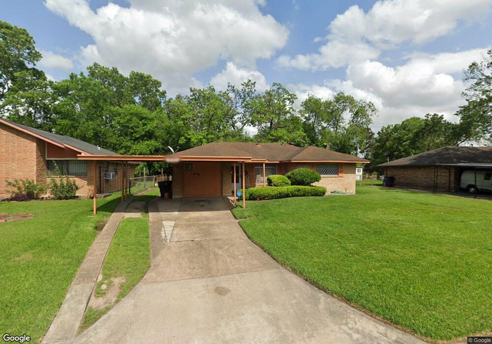
10106 Royal Oaks Dr Houston, TX 77016
East Little York NeighborhoodEstimated Value: $149,000 - $164,000
2
Beds
1
Bath
1,276
Sq Ft
$123/Sq Ft
Est. Value
About This Home
This home is located at 10106 Royal Oaks Dr, Houston, TX 77016 and is currently estimated at $156,706, approximately $122 per square foot. 10106 Royal Oaks Dr is a home located in Harris County with nearby schools including Shadydale Elementary School, Forest Brook Middle, and North Forest High School.
Ownership History
Date
Name
Owned For
Owner Type
Purchase Details
Closed on
Mar 12, 2021
Sold by
Randle Manon Charrisse
Bought by
Bailey Myra
Current Estimated Value
Purchase Details
Closed on
May 11, 2020
Sold by
Mackey Myra L
Bought by
Randlei Manon Chariusse
Purchase Details
Closed on
Jul 8, 1996
Sold by
Houston Jesse Roy and Carmouche Lavera Ann
Bought by
Bailey James O
Create a Home Valuation Report for This Property
The Home Valuation Report is an in-depth analysis detailing your home's value as well as a comparison with similar homes in the area
Home Values in the Area
Average Home Value in this Area
Purchase History
| Date | Buyer | Sale Price | Title Company |
|---|---|---|---|
| Bailey Myra | -- | None Available | |
| Randlei Manon Chariusse | -- | None Available | |
| Bailey James O | -- | Fidelity National Title |
Source: Public Records
Tax History Compared to Growth
Tax History
| Year | Tax Paid | Tax Assessment Tax Assessment Total Assessment is a certain percentage of the fair market value that is determined by local assessors to be the total taxable value of land and additions on the property. | Land | Improvement |
|---|---|---|---|---|
| 2025 | $2,659 | $128,015 | $55,015 | $73,000 |
| 2024 | $2,659 | $130,605 | $38,834 | $91,771 |
| 2023 | $2,659 | $143,751 | $38,834 | $104,917 |
| 2022 | $2,642 | $136,379 | $38,834 | $97,545 |
| 2021 | $2,542 | $109,074 | $25,890 | $83,184 |
| 2020 | $1,723 | $92,461 | $17,475 | $74,986 |
| 2019 | $1,637 | $72,635 | $11,068 | $61,567 |
| 2018 | $78 | $58,807 | $11,068 | $47,739 |
| 2017 | $1,370 | $58,807 | $11,068 | $47,739 |
| 2016 | $1,245 | $55,417 | $11,068 | $44,349 |
| 2015 | $31 | $53,318 | $11,068 | $42,250 |
| 2014 | $31 | $45,397 | $11,068 | $34,329 |
Source: Public Records
Map
Nearby Homes
- 10122 Rockaway Dr
- 10806 Bird of Paradise Ln
- 10808 Bird of Paradise Ln
- 10810 Bird of Paradise Ln
- 10201 Homestead Rd
- 10120 Homestead Rd
- 10124 Homestead Rd
- 10128 Homestead Rd
- 6001 Bretshire Dr
- 10221 Bretton Dr
- 7220 Parker Rd
- 7210 Colton St
- 7234 Boggess Rd
- 10317 Kelburn Dr
- 7252 Parker Rd
- 7218 Bretshire Dr
- 7306 Parker Rd
- 7305 Yoe St
- 7226 Gore Dr
- 7242 Bretshire Dr
- 10110 Royal Oaks Dr
- 10102 Royal Oaks Dr
- 10105 Rockaway Dr
- 10114 Royal Oaks Dr
- 10109 Rockaway Dr
- 10101 Rockaway Dr
- 7126 Lockern St
- 10113 Rockaway Dr
- 7121 Parker Rd
- 10118 Royal Oaks Dr
- 10117 Rockaway Dr
- 7122 Lockern St
- 10122 Royal Oaks Dr
- 10117 Royal Oaks Dr
- 7117 Parker Rd
- 10121 Rockaway Dr
- 10106 Rockaway Dr
- 10110 Rockaway Dr
- 10102 Rockaway Dr
- 7118 Lockern St