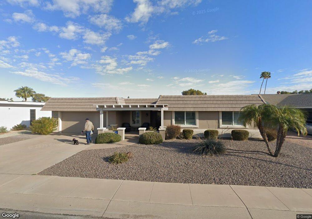
10106 W Brookside Dr Sun City, AZ 85351
Estimated Value: $401,000 - $505,000
3
Beds
2
Baths
1,832
Sq Ft
$243/Sq Ft
Est. Value
About This Home
This home is located at 10106 W Brookside Dr, Sun City, AZ 85351 and is currently estimated at $444,268, approximately $242 per square foot. 10106 W Brookside Dr is a home located in Maricopa County with nearby schools including Sonoran Science Academy-Peoria, Desert Mirage Elementary School, and Black Mountain Science Academy Montessori.
Ownership History
Date
Name
Owned For
Owner Type
Purchase Details
Closed on
May 15, 2015
Sold by
Rodgers Jon D and Rodgers Elizabeth J
Bought by
The John & Elizabeth Joint Revocable Tru
Current Estimated Value
Purchase Details
Closed on
Oct 21, 2011
Sold by
Vornberger Cindy and The William H Freitag Revocabl
Bought by
Rodgers Jon D and Rodgers Elizabeth J
Purchase Details
Closed on
Mar 13, 2001
Sold by
Freitag William H
Bought by
Freitag William H
Create a Home Valuation Report for This Property
The Home Valuation Report is an in-depth analysis detailing your home's value as well as a comparison with similar homes in the area
Home Values in the Area
Average Home Value in this Area
Purchase History
| Date | Buyer | Sale Price | Title Company |
|---|---|---|---|
| The John & Elizabeth Joint Revocable Tru | -- | None Available | |
| Rodgers Jon D | $140,000 | First American Title Ins Co | |
| Freitag William H | -- | -- |
Source: Public Records
Tax History Compared to Growth
Tax History
| Year | Tax Paid | Tax Assessment Tax Assessment Total Assessment is a certain percentage of the fair market value that is determined by local assessors to be the total taxable value of land and additions on the property. | Land | Improvement |
|---|---|---|---|---|
| 2025 | $2,110 | $26,116 | -- | -- |
| 2024 | $1,905 | $24,872 | -- | -- |
| 2023 | $1,905 | $37,360 | $7,470 | $29,890 |
| 2022 | $1,782 | $32,260 | $6,450 | $25,810 |
| 2021 | $1,839 | $31,160 | $6,230 | $24,930 |
| 2020 | $1,791 | $28,820 | $5,760 | $23,060 |
| 2019 | $1,615 | $21,060 | $4,210 | $16,850 |
| 2018 | $1,558 | $18,820 | $3,760 | $15,060 |
| 2017 | $1,503 | $17,150 | $3,430 | $13,720 |
| 2016 | $1,417 | $15,770 | $3,150 | $12,620 |
| 2015 | $1,346 | $15,430 | $3,080 | $12,350 |
Source: Public Records
Map
Nearby Homes
- 10134 W Desert Rock Dr
- 9921 W Hutton Dr
- 10018 W Burns Dr
- 10313 W Desert Rock Dr
- 10313 W Burns Dr
- 16802 N Boswell Blvd
- 10202 W Edgewood Dr
- 10214 W Hutton Dr Unit 36
- 16822 N Boswell Blvd
- 10009 W Pleasant Valley Rd
- 10329 W Gulf Hills Dr
- 10228 W Twin Oaks Dr
- 16822 N 102nd Ave
- 16801 N 103rd Ave
- 10106 W Campana Dr
- 10025 W Shasta Dr
- 10019 W Shasta Dr
- 9805 W Burns Dr
- 10251 W Twin Oaks Dr
- 15406 N Boswell Blvd
- 10102 W Brookside Dr
- 10110 W Brookside Dr
- 10114 W Brookside Dr
- 10050 W Brookside Dr
- 10105 W Brookside Dr
- 10109 W Brookside Dr
- 10101 W Brookside Dr
- 10113 W Brookside Dr
- 10118 W Brookside Dr
- 10046 W Brookside Dr
- 10047 W Brookside Dr
- 10117 W Brookside Dr
- 10126 W Sutters Gold Ln
- 10122 W Sutters Gold Ln
- 10130 W Sutters Gold Ln
- 10122 W Brookside Dr
- 10118 W Sutters Gold Ln
- 10042 W Brookside Dr
- 10121 W Brookside Dr
- 10039 W Brookside Dr