10107 County Road 397 New Bloomfield, MO 65063
Estimated Value: $292,000 - $456,000
--
Bed
--
Bath
2,742
Sq Ft
$128/Sq Ft
Est. Value
About This Home
This home is located at 10107 County Road 397, New Bloomfield, MO 65063 and is currently estimated at $351,832, approximately $128 per square foot. 10107 County Road 397 is a home located in Callaway County with nearby schools including New Bloomfield Elementary School and New Bloomfield High School.
Ownership History
Date
Name
Owned For
Owner Type
Purchase Details
Closed on
Feb 6, 2023
Sold by
Pope Robert J and Pope Mary
Bought by
Pope Robert J and Smith Carolyn J
Current Estimated Value
Home Financials for this Owner
Home Financials are based on the most recent Mortgage that was taken out on this home.
Original Mortgage
$32,991
Outstanding Balance
$31,910
Interest Rate
6.09%
Mortgage Type
New Conventional
Estimated Equity
$319,922
Purchase Details
Closed on
Sep 2, 2021
Sold by
Pope Robert J
Bought by
Callaway County
Create a Home Valuation Report for This Property
The Home Valuation Report is an in-depth analysis detailing your home's value as well as a comparison with similar homes in the area
Home Values in the Area
Average Home Value in this Area
Purchase History
| Date | Buyer | Sale Price | Title Company |
|---|---|---|---|
| Pope Robert J | -- | -- | |
| Callaway County | -- | -- |
Source: Public Records
Mortgage History
| Date | Status | Borrower | Loan Amount |
|---|---|---|---|
| Open | Pope Robert J | $32,991 |
Source: Public Records
Tax History Compared to Growth
Tax History
| Year | Tax Paid | Tax Assessment Tax Assessment Total Assessment is a certain percentage of the fair market value that is determined by local assessors to be the total taxable value of land and additions on the property. | Land | Improvement |
|---|---|---|---|---|
| 2024 | $1,661 | $29,340 | $0 | $0 |
| 2023 | $1,661 | $27,001 | $0 | $0 |
| 2022 | $1,525 | $27,001 | $2,191 | $24,810 |
| 2021 | $1,526 | $27,001 | $2,191 | $24,810 |
| 2020 | $1,527 | $27,001 | $2,191 | $24,810 |
| 2019 | $1,494 | $27,001 | $2,191 | $24,810 |
| 2018 | $1,501 | $27,001 | $2,191 | $24,810 |
| 2017 | $1,498 | $27,001 | $2,191 | $24,810 |
| 2016 | $954 | $17,160 | $0 | $0 |
| 2015 | $948 | $17,160 | $0 | $0 |
| 2014 | $856 | $15,390 | $0 | $0 |
Source: Public Records
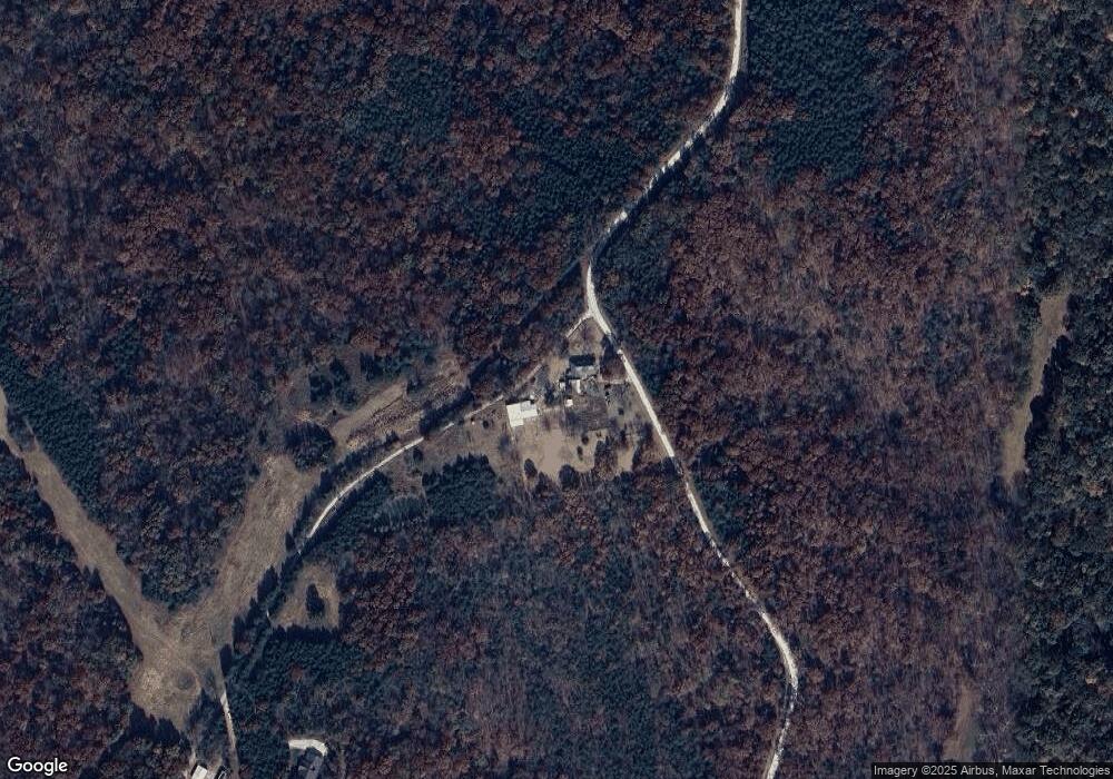
Map
Nearby Homes
- 845 State Road Mm
- 0 E Gilmore Ln
- 7165 E Hartman Rd
- TBD County Road 375
- 0 County Road 375
- 0 S Westbrook Dr
- 2143 Milanda Lake Rd Unit A & B
- LOT 10&11 Lyndell Blvd
- LOT 22 E Nevin Ct
- 6960 E Claysville Rd
- 00 Talley Rd
- 0 Talley Rd
- 11065 Ridge Fork Dr
- 0 E Route A Unit 424910
- 11251 County Road 391
- 10.7 ACRES S Mount Pleasant Rd
- 0 S Old Hwy 63 Unit 429534
- LOT 31 Hailey Ln
- 10871 Mallard Ct
- 6120 E Claysville Rd
- 9800 County Road 397
- 9800 County Road 397
- 9689 County Road 389
- 10250 County Road 397
- 429 Shady Grove
- 803 State Road Mm
- 597 County Road 398
- 815 State Road Mm
- 827 State Road Mm
- 9585 County Road 389
- 839 State Road Mm
- 9445 County Road 389
- 0 County Road 398
- 841 State Road Mm
- 412 County Road 398
- 845 State Road Mm Unit MM
- 9680 Sunflower Ln
- 9684 Sunflower Ln
- 861 State Road Mm
- 0 County Road 389