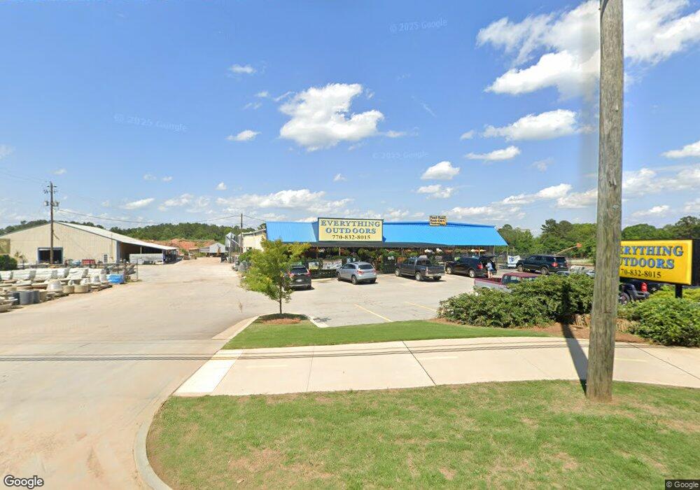
1011 Alabama St Carrollton, GA 30117
Estimated Value: $994,459
--
Bed
--
Bath
15,345
Sq Ft
$65/Sq Ft
Est. Value
About This Home
This home is located at 1011 Alabama St, Carrollton, GA 30117 and is currently estimated at $994,459, approximately $64 per square foot. 1011 Alabama St is a home located in Carroll County with nearby schools including Carrollton Elementary School, Carrollton Upper Elementary School, and Carrollton Middle School.
Ownership History
Date
Name
Owned For
Owner Type
Purchase Details
Closed on
Aug 21, 2014
Sold by
Southern States Cooperativ
Bought by
H2o Leasing Llc
Current Estimated Value
Purchase Details
Closed on
Oct 13, 1998
Sold by
Gold Kist Inc
Bought by
Southern States
Purchase Details
Closed on
Oct 30, 1980
Sold by
Farmers Mutual Ex
Bought by
Gold Kist Inc
Purchase Details
Closed on
Jun 30, 1973
Bought by
Farmers Mutual Ex
Create a Home Valuation Report for This Property
The Home Valuation Report is an in-depth analysis detailing your home's value as well as a comparison with similar homes in the area
Home Values in the Area
Average Home Value in this Area
Purchase History
| Date | Buyer | Sale Price | Title Company |
|---|---|---|---|
| H2o Leasing Llc | $400,000 | -- | |
| Southern States | $209,600 | -- | |
| Gold Kist Inc | -- | -- | |
| Farmers Mutual Ex | -- | -- |
Source: Public Records
Tax History Compared to Growth
Tax History
| Year | Tax Paid | Tax Assessment Tax Assessment Total Assessment is a certain percentage of the fair market value that is determined by local assessors to be the total taxable value of land and additions on the property. | Land | Improvement |
|---|---|---|---|---|
| 2024 | $10,084 | $369,046 | $218,058 | $150,988 |
| 2023 | $13,871 | $475,206 | $323,050 | $152,156 |
| 2022 | $5,632 | $192,946 | $86,100 | $106,846 |
| 2021 | $5,670 | $194,244 | $86,100 | $108,144 |
| 2020 | $5,690 | $194,719 | $86,100 | $108,619 |
| 2019 | $5,743 | $194,719 | $86,100 | $108,619 |
| 2018 | $5,238 | $175,060 | $86,100 | $88,960 |
| 2017 | $5,267 | $175,060 | $86,100 | $88,960 |
Source: Public Records
Map
Nearby Homes
- 109 Chalfont Cir
- 102 Avalon Dr
- 109 7th St
- 149 River Dr
- 149 River Dr Unit 42
- 106 Summerfield Place Dr
- 223 Riversong Rd Unit 55
- 223 Riversong Rd
- 250 Riversong Rd
- 250 Riversong Rd Unit 55
- 330 Avalon Dr
- 1915 Whooping Creek Church Road - Tract #1
- 1915 Whooping Creek Church Road - Tract #2
- 654 King St
- 219 Broad St
- 160 Watson St
- TRACT1-7 Us Highway 27
- 405 N Park St
- 108 Springwood Dr
- 959 Alabama St
- 1022 Alabama St
- 1028 Alabama St
- 0 Multiple Homes Unit 143396
- 0 Multiple Homes Unit 10086662
- 107 Refuge Way
- 943 Alabama St
- 109 Refuge Way
- 0 Refuge Way
- 224 N Fourth St
- 226 N Fourth St
- 222 N Fourth St
- 111 Refuge Way
- 228 N Fourth St
- 1040 Alabama St
- 218 N Fourth St
- 1047 Alabama St
- 230 N Fourth St
- 214 N Fourth St
- 0 4th St