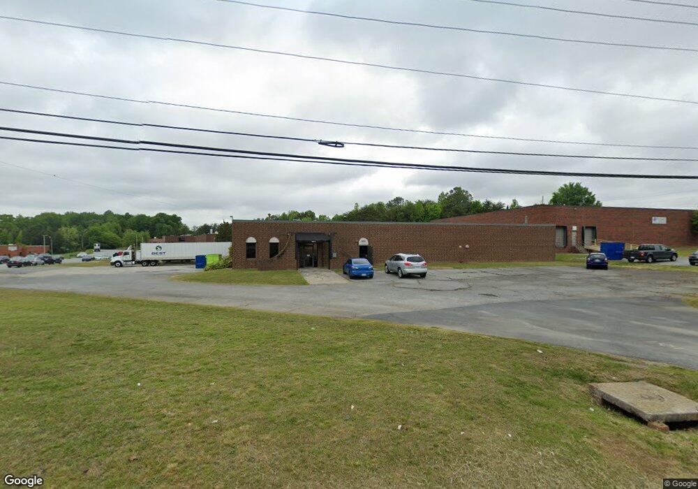
1011 Baker Rd High Point, NC 27263
Greater High Point NeighborhoodEstimated Value: $1,166,921
Studio
--
Bath
19,764
Sq Ft
$59/Sq Ft
Est. Value
About This Home
This home is located at 1011 Baker Rd, High Point, NC 27263 and is currently estimated at $1,166,921, approximately $59 per square foot. 1011 Baker Rd is a home located in Guilford County with nearby schools including Allen Jay Elementary School, Southern Guilford Middle, and Southern Guilford High School.
Ownership History
Date
Name
Owned For
Owner Type
Purchase Details
Closed on
Jun 27, 2022
Sold by
Ejg High Point Llc
Bought by
1011 Baker Road Llc
Current Estimated Value
Home Financials for this Owner
Home Financials are based on the most recent Mortgage that was taken out on this home.
Original Mortgage
$800,000
Outstanding Balance
$762,154
Interest Rate
5.25%
Mortgage Type
New Conventional
Estimated Equity
$404,767
Purchase Details
Closed on
Dec 11, 2018
Sold by
Bishop Gable Enterprises Llc
Bought by
Ejg High Point Llc
Home Financials for this Owner
Home Financials are based on the most recent Mortgage that was taken out on this home.
Original Mortgage
$364,000
Interest Rate
4.8%
Mortgage Type
Future Advance Clause Open End Mortgage
Purchase Details
Closed on
Sep 9, 1999
Sold by
High Point Fabrics & Supplies Inc
Bought by
Bishop Gable Enterprises Llc
Create a Home Valuation Report for This Property
The Home Valuation Report is an in-depth analysis detailing your home's value as well as a comparison with similar homes in the area
Home Values in the Area
Average Home Value in this Area
Purchase History
| Date | Buyer | Sale Price | Title Company |
|---|---|---|---|
| 1011 Baker Road Llc | $985,000 | None Listed On Document | |
| Ejg High Point Llc | $525,000 | None Available | |
| Bishop Gable Enterprises Llc | -- | -- |
Source: Public Records
Mortgage History
| Date | Status | Borrower | Loan Amount |
|---|---|---|---|
| Open | 1011 Baker Road Llc | $800,000 | |
| Previous Owner | Ejg High Point Llc | $364,000 |
Source: Public Records
Tax History
| Year | Tax Paid | Tax Assessment Tax Assessment Total Assessment is a certain percentage of the fair market value that is determined by local assessors to be the total taxable value of land and additions on the property. | Land | Improvement |
|---|---|---|---|---|
| 2025 | $6,970 | $505,800 | $61,500 | $444,300 |
| 2024 | $6,970 | $380,900 | $61,500 | $319,400 |
| 2023 | $6,970 | $380,900 | $61,500 | $319,400 |
| 2022 | $6,818 | $505,800 | $61,500 | $444,300 |
| 2021 | $4,787 | $347,400 | $61,500 | $285,900 |
| 2020 | $4,787 | $347,400 | $61,500 | $285,900 |
| 2019 | $4,787 | $347,400 | $0 | $0 |
| 2018 | $4,763 | $347,400 | $0 | $0 |
| 2017 | $4,763 | $347,400 | $0 | $0 |
| 2016 | $5,891 | $420,000 | $0 | $0 |
| 2015 | $5,922 | $420,000 | $0 | $0 |
| 2014 | $6,023 | $420,000 | $0 | $0 |
Source: Public Records
Map
Nearby Homes
- 921 Norton St
- 914 Nance Ave
- 717 Belmont Dr
- 715 Baker Rd
- 919 Belmont Dr
- 609 Martha Place
- 607 Martha Place
- 1105 E Springfield Rd
- 600 E Fairfield Rd
- 312 Model Farm Rd
- 206 E Moore Ave
- 206 Model Farm Rd
- 335 Nathan Hunt Dr
- 312 Playground Rd
- 3630 Southpark Dr
- 611 Liberty Rd
- 000 Liberty Rd
- 116 Liberty Place
- 1501 Cox Ct
- 1535 E Fairfield Rd
Your Personal Tour Guide
Ask me questions while you tour the home.