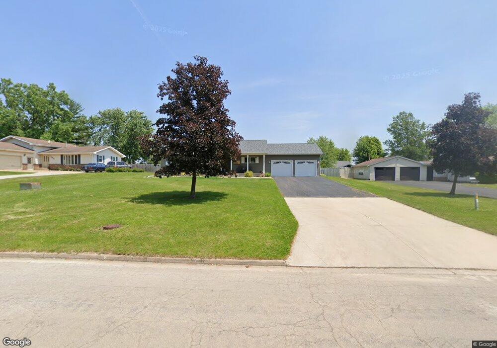
1011 Bratton Ave Marseilles, IL 61341
Estimated Value: $198,064 - $271,000
--
Bed
--
Bath
1,319
Sq Ft
$170/Sq Ft
Est. Value
About This Home
This home is located at 1011 Bratton Ave, Marseilles, IL 61341 and is currently estimated at $224,516, approximately $170 per square foot. 1011 Bratton Ave is a home located in LaSalle County with nearby schools including Milton Pope Elementary School and Ottawa Township High School.
Ownership History
Date
Name
Owned For
Owner Type
Purchase Details
Closed on
Jul 8, 2024
Sold by
Moore Shelly J
Bought by
Moore Shelly J and Shelly J Moore Trust
Current Estimated Value
Purchase Details
Closed on
Oct 4, 2006
Sold by
Schaefer Wilma Jean Gleason
Bought by
Bright Home Construction Co
Purchase Details
Closed on
Jul 21, 2006
Sold by
Oakes Robert Bradley and Oakes Julie Ann
Bought by
Moore Thomas J and Moore Shelly J
Home Financials for this Owner
Home Financials are based on the most recent Mortgage that was taken out on this home.
Original Mortgage
$130,000
Interest Rate
6.73%
Mortgage Type
New Conventional
Create a Home Valuation Report for This Property
The Home Valuation Report is an in-depth analysis detailing your home's value as well as a comparison with similar homes in the area
Home Values in the Area
Average Home Value in this Area
Purchase History
| Date | Buyer | Sale Price | Title Company |
|---|---|---|---|
| Moore Shelly J | -- | None Available | |
| Bright Home Construction Co | $24,000 | None Available | |
| Moore Thomas J | $150,000 | None Available |
Source: Public Records
Mortgage History
| Date | Status | Borrower | Loan Amount |
|---|---|---|---|
| Previous Owner | Moore Thomas J | $130,000 |
Source: Public Records
Tax History Compared to Growth
Tax History
| Year | Tax Paid | Tax Assessment Tax Assessment Total Assessment is a certain percentage of the fair market value that is determined by local assessors to be the total taxable value of land and additions on the property. | Land | Improvement |
|---|---|---|---|---|
| 2024 | $5,138 | $59,026 | $6,935 | $52,091 |
| 2023 | $5,062 | $59,151 | $6,950 | $52,201 |
| 2022 | $3,924 | $42,860 | $6,089 | $36,771 |
| 2021 | $4,197 | $42,860 | $6,089 | $36,771 |
| 2020 | $4,154 | $42,860 | $6,089 | $36,771 |
| 2019 | $4,162 | $43,192 | $6,136 | $37,056 |
| 2018 | $4,359 | $43,050 | $6,116 | $36,934 |
| 2017 | $4,342 | $43,050 | $6,116 | $36,934 |
| 2016 | $4,330 | $43,270 | $6,147 | $37,123 |
| 2015 | $2,190 | $43,270 | $6,147 | $37,123 |
| 2012 | -- | $48,730 | $6,923 | $41,807 |
Source: Public Records
Map
Nearby Homes
- 1037 Carter St
- Lot 17 Andrew Ct
- 922 Andrew Ln
- 921 Andrew Ln
- 918 Andrew Ln
- 1129 Rutland St
- 901-903 Colorado St
- 893-895 Colorado St
- 897-899 Colorado St
- 516 - 517 Northfork Dr
- 2665 E Rt 6
- 674 Oak Ct
- 664 Oak Ct
- 401 Scott St
- 640 Rutland St
- 660 1st Ave
- 330 E Bluff St
- 612 Briarwood Rd
- 269 Clark St
- 671 E Bluff St
- 1009 Bratton Ave
- 1013 Bratton Ave
- Lot #1 Bratton Ave
- 1028 Carter St
- 1015 Bratton Ave
- 1007 Bratton Ave
- 1038 Carter St
- 1038 Carter St Unit 1
- 1024 Carter St
- 1008 Bratton Ave
- 1040 Carter St
- 1004 Bratton Ave
- 1020 Carter St
- 1017 Bratton Ave
- 1103 Bratton Ave Unit B
- 1005 Bratton Ave
- 1016 Carter St
- 1012 Bratton Ave
- 1046 Carter St
- 1019 Carter St