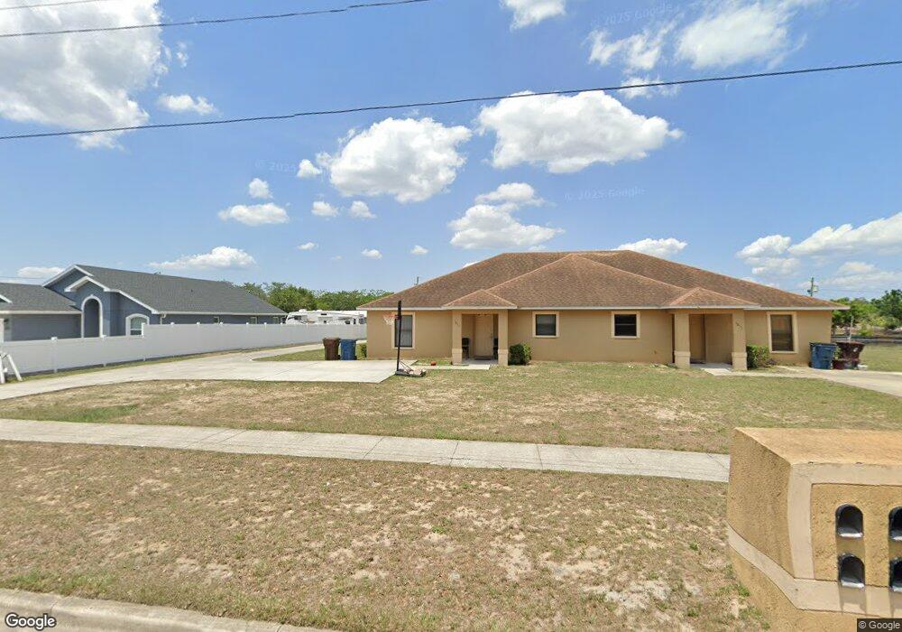
1011 Cohassett Ave Lake Wales, FL 33853
Estimated Value: $347,000 - $450,000
4
Beds
4
Baths
5,576
Sq Ft
$71/Sq Ft
Est. Value
About This Home
This home is located at 1011 Cohassett Ave, Lake Wales, FL 33853 and is currently estimated at $397,667, approximately $71 per square foot. 1011 Cohassett Ave is a home located in Polk County with nearby schools including Spook Hill Elementary School, Bartow Elementary Academy, and Mclaughlin Middle School And Fine Arts Academy.
Ownership History
Date
Name
Owned For
Owner Type
Purchase Details
Closed on
Sep 30, 1999
Sold by
Pitt Jack W and Pitt Louise
Bought by
Deloach Richard L and Deloach Diane B
Current Estimated Value
Home Financials for this Owner
Home Financials are based on the most recent Mortgage that was taken out on this home.
Original Mortgage
$64,000
Interest Rate
7.89%
Mortgage Type
Commercial
Create a Home Valuation Report for This Property
The Home Valuation Report is an in-depth analysis detailing your home's value as well as a comparison with similar homes in the area
Home Values in the Area
Average Home Value in this Area
Purchase History
| Date | Buyer | Sale Price | Title Company |
|---|---|---|---|
| Deloach Richard L | $80,000 | -- |
Source: Public Records
Mortgage History
| Date | Status | Borrower | Loan Amount |
|---|---|---|---|
| Open | Deloach Richard L | $82,500 | |
| Closed | Deloach Richard L | $78,700 | |
| Closed | Deloach Richard L | $64,000 |
Source: Public Records
Tax History Compared to Growth
Tax History
| Year | Tax Paid | Tax Assessment Tax Assessment Total Assessment is a certain percentage of the fair market value that is determined by local assessors to be the total taxable value of land and additions on the property. | Land | Improvement |
|---|---|---|---|---|
| 2025 | $5,897 | $321,869 | -- | -- |
| 2024 | $7,003 | $292,608 | $25,000 | $330,172 |
| 2023 | $7,003 | $333,374 | $0 | $0 |
| 2022 | $6,281 | $303,067 | $0 | $0 |
| 2021 | $5,982 | $275,515 | $0 | $0 |
| 2020 | $5,272 | $250,468 | $20,000 | $230,468 |
| 2018 | $5,312 | $242,140 | $20,000 | $222,140 |
| 2017 | $4,905 | $223,186 | $0 | $0 |
| 2016 | $4,597 | $202,896 | $0 | $0 |
| 2015 | $4,349 | $200,932 | $0 | $0 |
| 2014 | $4,091 | $186,862 | $0 | $0 |
Source: Public Records
Map
Nearby Homes
- 929 Carlton Ave
- 1061 Hiawatha Ave
- 954 Campbell Ave
- 826 State Road 60 E
- 937 Marci Dr
- 926 S Lakeshore Blvd
- 1056 Naes Ln
- 807 Campbell Ave
- 814 S Lakeshore Blvd
- 1017 Margot Ln
- 1132 Roberta Rd
- 1408 Thousand Roses Dr S
- 0 Hesperides Rd
- 3687 Hardman Dr
- 1432 Thousand Roses Dr S
- 1402 Thousand Roses Dr W
- 3675 Hardman Dr
- 3586 Kimbrough Dr
- 3674 Hardman Dr
- 1147 Circle Dr
- 1009 Cohassett Ave
- 1021 Cohassett Ave
- 1003 Cohassett Ave
- 1010 State Road 60 E
- 1016 State Road 60 E
- 1010 Cohassett Ave
- 1012 Cohassett Ave
- 1008 Cohassett Ave
- 513 S 10th St
- 1016 Cohassett Ave
- 1000 Cohassett Ave
- 532 Marietta St
- 1024 State Road 60 E
- 520 Marietta St
- 601 S 10th St
- 514 Marietta St
- 1000 State Road 60 E
- 1022 Cohassett Ave
- 520 S 10th St
- 526 S 10th St