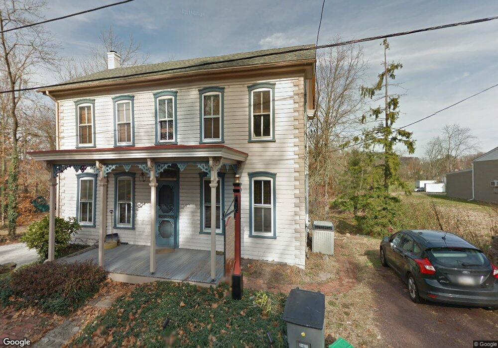
1011 Daisy Point Rd Pottstown, PA 19465
Estimated Value: $373,000 - $519,000
3
Beds
1
Bath
1,943
Sq Ft
$218/Sq Ft
Est. Value
About This Home
This home is located at 1011 Daisy Point Rd, Pottstown, PA 19465 and is currently estimated at $424,187, approximately $218 per square foot. 1011 Daisy Point Rd is a home located in Chester County with nearby schools including French Creek Elementary School, Owen J Roberts Middle School, and Owen J Roberts High School.
Ownership History
Date
Name
Owned For
Owner Type
Purchase Details
Closed on
Jun 3, 2002
Sold by
Girard Richard T
Bought by
Daisy Point Llc
Current Estimated Value
Home Financials for this Owner
Home Financials are based on the most recent Mortgage that was taken out on this home.
Original Mortgage
$128,000
Outstanding Balance
$54,542
Interest Rate
6.92%
Estimated Equity
$369,645
Create a Home Valuation Report for This Property
The Home Valuation Report is an in-depth analysis detailing your home's value as well as a comparison with similar homes in the area
Home Values in the Area
Average Home Value in this Area
Purchase History
| Date | Buyer | Sale Price | Title Company |
|---|---|---|---|
| Daisy Point Llc | $159,000 | -- |
Source: Public Records
Mortgage History
| Date | Status | Borrower | Loan Amount |
|---|---|---|---|
| Open | Daisy Point Llc | $128,000 |
Source: Public Records
Tax History Compared to Growth
Tax History
| Year | Tax Paid | Tax Assessment Tax Assessment Total Assessment is a certain percentage of the fair market value that is determined by local assessors to be the total taxable value of land and additions on the property. | Land | Improvement |
|---|---|---|---|---|
| 2025 | $4,713 | $119,080 | $25,080 | $94,000 |
| 2024 | $4,713 | $119,080 | $25,080 | $94,000 |
| 2023 | $4,642 | $119,080 | $25,080 | $94,000 |
| 2022 | $4,563 | $119,080 | $25,080 | $94,000 |
| 2021 | $4,506 | $119,080 | $25,080 | $94,000 |
| 2020 | $4,385 | $119,080 | $25,080 | $94,000 |
| 2019 | $4,299 | $119,080 | $25,080 | $94,000 |
| 2018 | $4,212 | $119,080 | $25,080 | $94,000 |
| 2017 | $4,108 | $119,080 | $25,080 | $94,000 |
| 2016 | $3,725 | $119,080 | $25,080 | $94,000 |
| 2015 | $3,725 | $119,080 | $25,080 | $94,000 |
| 2014 | $3,725 | $119,080 | $25,080 | $94,000 |
Source: Public Records
Map
Nearby Homes
- 108 Hartman Rd
- 176 Bucktown Crossing Unit 42C
- 3381 Coventryville Rd
- 3251 Coventryville Rd
- 3221 Coventryville Rd
- 1623 Hilltop Rd
- 3896 Coventryville Rd
- 1630 Sheeder Mill Rd
- 1547 Pottstown Pike
- 1672 Hollow Rd
- 1255 Hollow Rd
- 150 Horseshoe Ln
- 121 Warwick Chase
- 1420 Hollow Rd
- 1381 School House Ln
- 746 W Hoffecker Rd
- 1940 Ridge Rd
- 1378 S Hanover St
- 287 Kulp Rd
- 1284 School House Ln
- 1001 Daisy Point Rd
- 1021 Daisy Point Rd
- 1000 Daisy Point Rd
- 1020 Daisy Point Rd
- 819 Pughtown Rd
- 1010 Daisy Point Rd
- 150 Hultz Ln
- 820 Pottstown Park
- 820 Pughtown Rd
- 820 Pughtown Rd
- 816 Pughtown Rd
- 816 Pughtown Rd
- 815 Pughtown Rd
- 806 Pughtown Rd
- 2317 Pottstown Pike
- 803 Pughtown Rd
- 803 Pughtown Rd Unit 2301331-59417
- 798 Pughtown Rd
- 2420 Pottstown Pike
- 799 Pughtown Rd