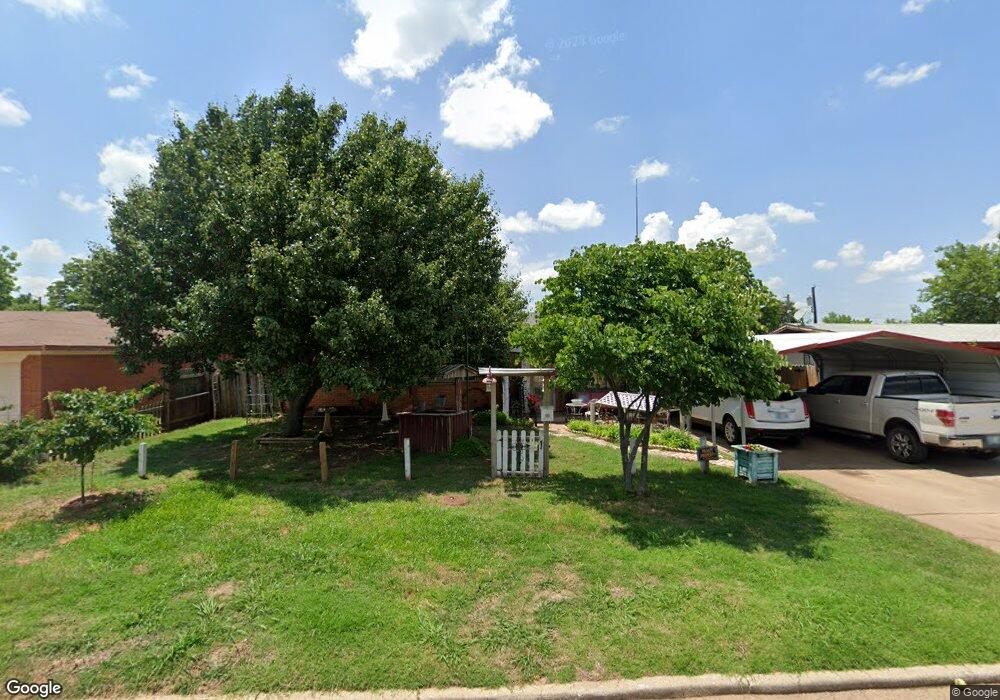
1011 Devonwood Ave Duncan, OK 73533
Estimated Value: $94,000 - $141,000
3
Beds
2
Baths
2,415
Sq Ft
$50/Sq Ft
Est. Value
About This Home
This home is located at 1011 Devonwood Ave, Duncan, OK 73533 and is currently estimated at $121,026, approximately $50 per square foot. 1011 Devonwood Ave is a home located in Stephens County with nearby schools including Woodrow Wilson Elementary School, Duncan Middle School, and Duncan High School.
Ownership History
Date
Name
Owned For
Owner Type
Purchase Details
Closed on
Dec 28, 2005
Sold by
Bruce Bobby G and Bruce Twala
Bought by
Gordon Shawn and Bruce Sandra Renee
Current Estimated Value
Purchase Details
Closed on
Sep 24, 2003
Sold by
Spridling Mark and Spridling Sheryl
Purchase Details
Closed on
Aug 28, 2003
Sold by
Bearden Alice
Purchase Details
Closed on
Dec 18, 2001
Sold by
Bearden Alice and Bearden Dean
Create a Home Valuation Report for This Property
The Home Valuation Report is an in-depth analysis detailing your home's value as well as a comparison with similar homes in the area
Purchase History
| Date | Buyer | Sale Price | Title Company |
|---|---|---|---|
| Gordon Shawn | -- | None Available | |
| -- | $52,000 | -- | |
| -- | $50,000 | -- | |
| -- | -- | -- |
Source: Public Records
Tax History
| Year | Tax Paid | Tax Assessment Tax Assessment Total Assessment is a certain percentage of the fair market value that is determined by local assessors to be the total taxable value of land and additions on the property. | Land | Improvement |
|---|---|---|---|---|
| 2025 | $709 | $9,414 | $440 | $8,974 |
| 2024 | $671 | $8,873 | $440 | $8,433 |
| 2023 | $671 | $8,873 | $440 | $8,433 |
| 2022 | $626 | $8,615 | $440 | $8,175 |
| 2021 | $627 | $8,364 | $440 | $7,924 |
| 2020 | $594 | $7,884 | $440 | $7,444 |
| 2019 | $576 | $7,654 | $440 | $7,214 |
| 2018 | $627 | $8,045 | $440 | $7,605 |
| 2017 | $611 | $8,349 | $440 | $7,909 |
| 2016 | $584 | $7,870 | $440 | $7,430 |
| 2015 | $583 | $7,870 | $440 | $7,430 |
| 2014 | $583 | $7,870 | $440 | $7,430 |
Source: Public Records
Map
Nearby Homes
- 1009 Devonwood Ave
- 1007 Devonwood Ave
- 1019 Devonwood Ave
- 1016 N C St
- 1020 Devonwood Ave
- 1014 N C St
- 1018 N C St
- 1012 N C St
- 1016 Devonwood Ave
- 1024 Devonwood Ave
- 1020 N C St
- 1010 N C St
- 1005 Devonwood Ave
- 1012 Devonwood Ave
- 1028 Devonwood Ave
- 1023 Devonwood Ave
- 1022 N C St
- 1008 N C St
- 1008 Devonwood Ave
- 1003 Devonwood Ave
Your Personal Tour Guide
Ask me questions while you tour the home.