Estimated Value: $273,000 - $334,000
3
Beds
3
Baths
2,184
Sq Ft
$138/Sq Ft
Est. Value
About This Home
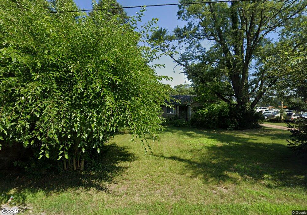
This home is located at 1011 E Bertrand Rd, Niles, MI 49120 and is currently estimated at $301,393, approximately $138 per square foot. 1011 E Bertrand Rd is a home located in Berrien County with nearby schools including Merritt Elementary School, Brandywine Elementary School, and Brandywine Middle School.
Ownership History
Date
Name
Owned For
Owner Type
Purchase Details
Closed on
Nov 8, 2017
Sold by
Linville Jeffrey
Bought by
Js Linville Llc
Current Estimated Value
Purchase Details
Closed on
Oct 13, 2011
Sold by
Deutsche Bank National Trust Company
Bought by
Linville Jeff
Purchase Details
Closed on
Jun 17, 2010
Sold by
Parchman Timothy and Parchman Tiara
Bought by
Deutsche Bank National Trust Company
Purchase Details
Closed on
Apr 25, 2005
Sold by
Morgan Modena M and Morgan John W
Bought by
Parchman Timothy and Parchman Tiara
Home Financials for this Owner
Home Financials are based on the most recent Mortgage that was taken out on this home.
Original Mortgage
$137,750
Interest Rate
7.3%
Mortgage Type
Fannie Mae Freddie Mac
Create a Home Valuation Report for This Property
The Home Valuation Report is an in-depth analysis detailing your home's value as well as a comparison with similar homes in the area
Home Values in the Area
Average Home Value in this Area
Purchase History
| Date | Buyer | Sale Price | Title Company |
|---|---|---|---|
| Js Linville Llc | -- | None Available | |
| Linville Jeff | $35,000 | Title Partners | |
| Deutsche Bank National Trust Company | $69,736 | None Available | |
| Parchman Timothy | $145,000 | -- |
Source: Public Records
Mortgage History
| Date | Status | Borrower | Loan Amount |
|---|---|---|---|
| Previous Owner | Parchman Timothy | $137,750 |
Source: Public Records
Tax History
| Year | Tax Paid | Tax Assessment Tax Assessment Total Assessment is a certain percentage of the fair market value that is determined by local assessors to be the total taxable value of land and additions on the property. | Land | Improvement |
|---|---|---|---|---|
| 2025 | $4,254 | $155,400 | $0 | $0 |
| 2024 | $3,396 | $149,400 | $0 | $0 |
| 2023 | $3,235 | $134,500 | $0 | $0 |
| 2022 | $3,089 | $122,000 | $0 | $0 |
| 2021 | $3,633 | $97,300 | $9,000 | $88,300 |
| 2020 | $3,604 | $90,200 | $0 | $0 |
| 2019 | $3,660 | $78,100 | $9,000 | $69,100 |
Source: Public Records
Map
Nearby Homes
- 321 E Bertrand Rd
- 2639 S 3rd St
- 242 Higgins St
- 2816 Madison St
- 1355 Honeysuckle Ln
- 2807 S 13th St
- 2618 Bond St
- 2723 Sugarberry Ln
- 2801 Primrose Ct
- 2711 Sugarberry Ln
- 2420 Floral Dr
- 2325 Fair Oaks St E
- 2428 S 14th St
- VL Fulkerson Rd
- 3120 Woodlawn St
- 2142 S 11 Th St
- 1109 Stateline Rd
- 50615 Oakland Ave
- 20162 Wedgewood Dr
- 2103 S 13th St
- 2680 S 11th St
- 1010 E Bertrand Rd
- 2706 S 11th St
- 2645 S 11th St
- 2622 S 11th St
- 2714 S 11th St
- 313 E Bertrand Rd
- 2701 S 11th St
- 318 E Bertrand Rd
- 1109 E Bertrand Rd
- 305 E Bertrand Rd
- 2703 S 3rd St
- 2617 S 3rd St
- 2726 S 11th St
- 2627 S 3rd St
- 2639 S 3rd St Unit C
- 2610 S 11th St
- 2621 S 3rd St
- 2713 S 3rd St
- 2613 S 3rd St
Your Personal Tour Guide
Ask me questions while you tour the home.