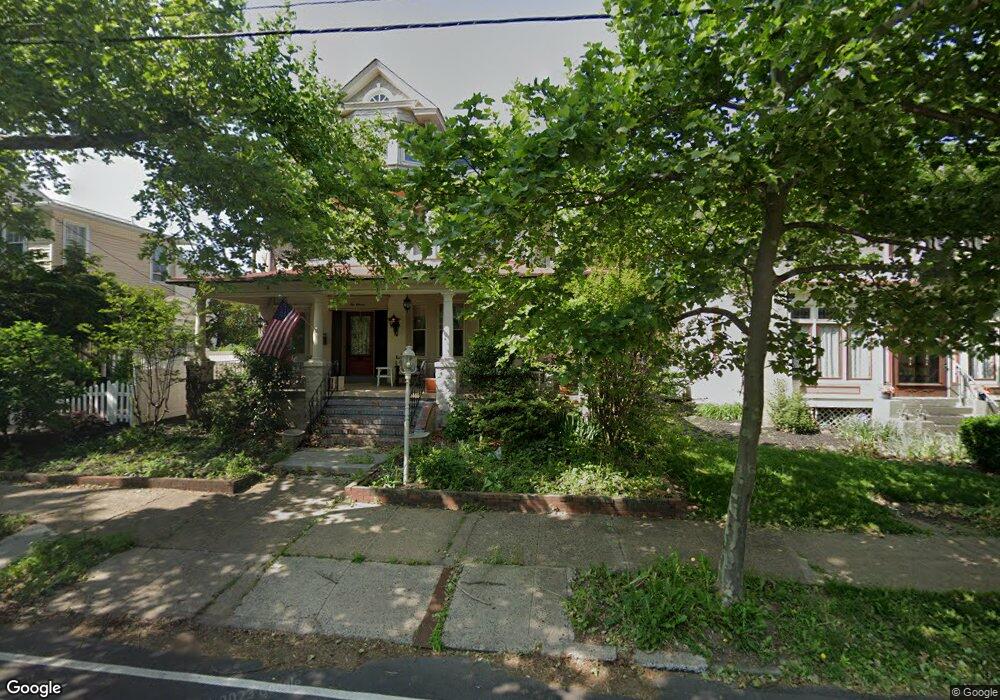
1011 E High St Pottstown, PA 19464
Washington-Rosedale NeighborhoodEstimated Value: $370,000 - $417,000
5
Beds
3
Baths
3,531
Sq Ft
$114/Sq Ft
Est. Value
About This Home
This home is located at 1011 E High St, Pottstown, PA 19464 and is currently estimated at $401,943, approximately $113 per square foot. 1011 E High St is a home located in Montgomery County with nearby schools including Pottstown Middle School, Pottstown Senior High School, and The Wyndcroft School.
Ownership History
Date
Name
Owned For
Owner Type
Purchase Details
Closed on
Sep 4, 2009
Sold by
Sobolewski Kenneth J and Sobolewski Christine
Bought by
Koveleski Paul
Current Estimated Value
Home Financials for this Owner
Home Financials are based on the most recent Mortgage that was taken out on this home.
Original Mortgage
$220,924
Outstanding Balance
$145,143
Interest Rate
5.28%
Estimated Equity
$256,800
Purchase Details
Closed on
Sep 30, 1994
Sold by
Maack Theodore H
Bought by
Sobolewski Kenneth J and Sobolewski Christine
Create a Home Valuation Report for This Property
The Home Valuation Report is an in-depth analysis detailing your home's value as well as a comparison with similar homes in the area
Home Values in the Area
Average Home Value in this Area
Purchase History
| Date | Buyer | Sale Price | Title Company |
|---|---|---|---|
| Koveleski Paul | $225,000 | None Available | |
| Sobolewski Kenneth J | $188,500 | -- |
Source: Public Records
Mortgage History
| Date | Status | Borrower | Loan Amount |
|---|---|---|---|
| Open | Koveleski Paul | $220,924 |
Source: Public Records
Tax History
| Year | Tax Paid | Tax Assessment Tax Assessment Total Assessment is a certain percentage of the fair market value that is determined by local assessors to be the total taxable value of land and additions on the property. | Land | Improvement |
|---|---|---|---|---|
| 2025 | $9,084 | $148,000 | $45,650 | $102,350 |
| 2024 | $9,084 | $148,000 | $45,650 | $102,350 |
| 2023 | $8,960 | $148,000 | $45,650 | $102,350 |
| 2022 | $8,913 | $148,000 | $45,650 | $102,350 |
| 2021 | $8,811 | $148,000 | $45,650 | $102,350 |
| 2020 | $8,657 | $148,000 | $45,650 | $102,350 |
| 2019 | $8,458 | $148,000 | $45,650 | $102,350 |
Source: Public Records
Map
Nearby Homes
- 1116 Queen St
- 1200 Queen St
- 1240 E High St
- 1239 South St
- 804 Queen St Unit 55
- 1105 Wilson St
- 725 Lincoln Ave
- 648 Lincoln Ave
- 642 Walnut St
- 171 Sunrise Dr
- 601 King St
- 226 N Warren St
- 556 Beech St Unit 102
- 544 Walnut St
- 957 Kenny Rd
- 537 May St
- 412 Beech St
- 431 Cherry St
- 406 Jefferson Ave
- 399 Lincoln Ave
- 1017 E High St
- 46 N Keim St
- 1019 E High St
- 47 N Keim St
- 72 N Keim St
- 1023 E High St
- 1027 E High St
- 00 S Keim St
- 1008 E High St
- 1031 E High St
- 1016 E High St
- 1014 Rambler Ave
- 1012 E High St
- 1006 Rambler Ave
- 1022 E High St
- 1033 E High St
- 1033 E High St Unit 2
- 1033 E High St Unit 3
- 1016 Rambler Ave
- 1028 E High St
Your Personal Tour Guide
Ask me questions while you tour the home.