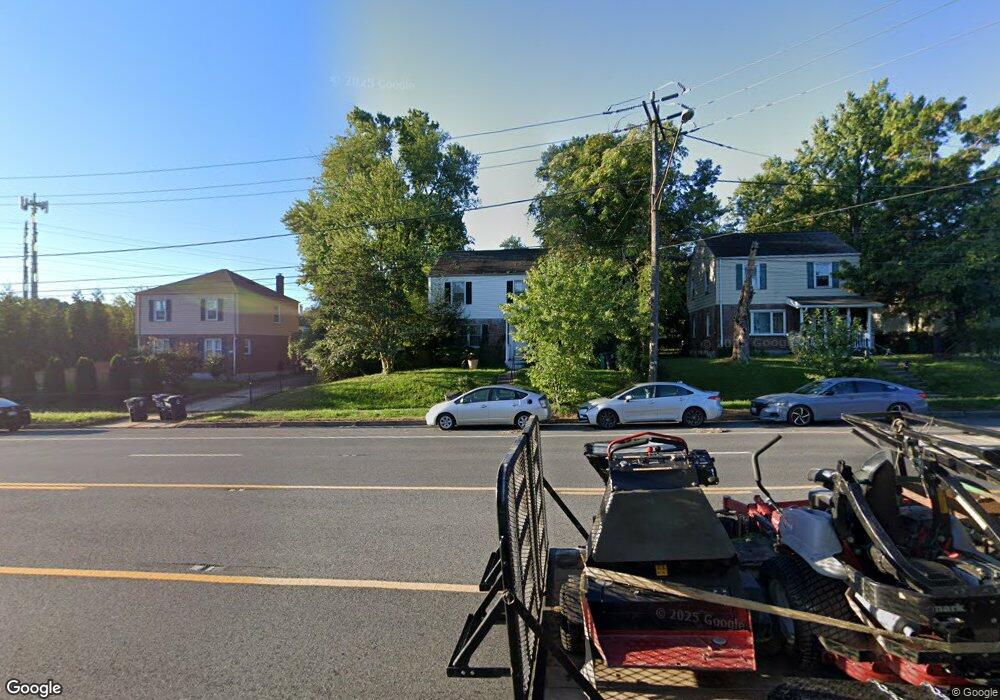
1011 East-West Hwy Takoma Park, MD 20912
Estimated Value: $367,000 - $401,323
--
Bed
1
Bath
1,200
Sq Ft
$323/Sq Ft
Est. Value
About This Home
This home is located at 1011 East-West Hwy, Takoma Park, MD 20912 and is currently estimated at $388,081, approximately $323 per square foot. 1011 East-West Hwy is a home located in Prince George's County with nearby schools including Carole Highlands Elementary School, Buck Lodge Middle School, and High Point High School.
Ownership History
Date
Name
Owned For
Owner Type
Purchase Details
Closed on
Jan 31, 2012
Sold by
Department Of Housing & Urban Developmen
Bought by
Raucci Mary
Current Estimated Value
Home Financials for this Owner
Home Financials are based on the most recent Mortgage that was taken out on this home.
Original Mortgage
$119,836
Outstanding Balance
$81,547
Interest Rate
3.75%
Mortgage Type
FHA
Estimated Equity
$306,534
Purchase Details
Closed on
Sep 19, 2011
Sold by
Smith Diane F
Bought by
Wells Fargo Bank Na
Purchase Details
Closed on
May 25, 2000
Sold by
Bryce Dorotea L
Bought by
Smith Diane F
Create a Home Valuation Report for This Property
The Home Valuation Report is an in-depth analysis detailing your home's value as well as a comparison with similar homes in the area
Home Values in the Area
Average Home Value in this Area
Purchase History
| Date | Buyer | Sale Price | Title Company |
|---|---|---|---|
| Raucci Mary | $123,000 | Atg Title | |
| Wells Fargo Bank Na | $116,800 | None Available | |
| Smith Diane F | $115,900 | -- |
Source: Public Records
Mortgage History
| Date | Status | Borrower | Loan Amount |
|---|---|---|---|
| Open | Raucci Mary | $119,836 |
Source: Public Records
Tax History Compared to Growth
Tax History
| Year | Tax Paid | Tax Assessment Tax Assessment Total Assessment is a certain percentage of the fair market value that is determined by local assessors to be the total taxable value of land and additions on the property. | Land | Improvement |
|---|---|---|---|---|
| 2024 | $3,702 | $288,000 | $100,500 | $187,500 |
| 2023 | $3,605 | $279,667 | $0 | $0 |
| 2022 | $3,476 | $271,333 | $0 | $0 |
| 2021 | $3,352 | $263,000 | $100,200 | $162,800 |
| 2020 | $3,258 | $248,433 | $0 | $0 |
| 2019 | $3,120 | $233,867 | $0 | $0 |
| 2018 | $2,977 | $219,300 | $75,200 | $144,100 |
| 2017 | $2,854 | $197,300 | $0 | $0 |
| 2016 | -- | $175,300 | $0 | $0 |
| 2015 | $2,491 | $153,300 | $0 | $0 |
| 2014 | $2,491 | $153,300 | $0 | $0 |
Source: Public Records
Map
Nearby Homes
- 6806 10th Ave
- 1011 Hopewell Ave
- 1505 Drexel St
- 1611 Dayton Rd
- 702 Auburn Ave
- 1204 Raydale Rd
- 906 Luray Place
- 821 Ray Rd
- 903 Heather Ave
- 6504 Knollbrook Dr
- 925 Sligo Creek Pkwy
- 6603 Medwick Dr
- 911 Sligo Creek Pkwy
- 6602 8th Ave
- 505 Belford Place
- 811 Sligo Creek Pkwy
- 509 Ethan Allen Ave
- 1604 Erskine St
- 7333 New Hampshire Ave
- 7333 New Hampshire Ave
- 1011 E West Hwy
- 1009 E West Hwy
- 1013 E West Hwy
- 1007 E West Hwy
- 1006 Fairview Ave
- 1008 Fairview Ave
- 1004 Fairview Ave
- 1015 E West Hwy
- 1005 E West Hwy
- 1002 Fairview Ave
- 1020 E West Hwy
- 1018 E West Hwy
- 1020 E West Hwy
- 1022 E West Hwy
- 1003 E West Hwy
- 1003 E West Hwy
- 6807 10th Ave
- 6805 10th Ave
- 6809 10th Ave
- 1024 E West Hwy