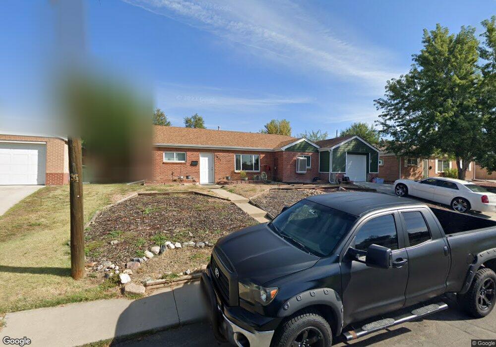
1011 Elm Place Thornton, CO 80229
South Thornton NeighborhoodEstimated Value: $435,826 - $481,000
3
Beds
2
Baths
1,608
Sq Ft
$286/Sq Ft
Est. Value
About This Home
This home is located at 1011 Elm Place, Thornton, CO 80229 and is currently estimated at $459,457, approximately $285 per square foot. 1011 Elm Place is a home located in Adams County with nearby schools including Thornton Elementary School, Thornton Middle School, and Thornton High School.
Ownership History
Date
Name
Owned For
Owner Type
Purchase Details
Closed on
Jan 2, 2018
Sold by
Taat Residential Trust
Bought by
Quintana Lloyd Leroy
Current Estimated Value
Home Financials for this Owner
Home Financials are based on the most recent Mortgage that was taken out on this home.
Original Mortgage
$315,250
Outstanding Balance
$265,966
Interest Rate
3.93%
Mortgage Type
New Conventional
Estimated Equity
$193,491
Purchase Details
Closed on
Sep 5, 2017
Sold by
Mesa Ignacio John
Bought by
Taat Residential Trust
Home Financials for this Owner
Home Financials are based on the most recent Mortgage that was taken out on this home.
Original Mortgage
$236,646
Interest Rate
10%
Mortgage Type
Unknown
Purchase Details
Closed on
Nov 23, 2004
Sold by
Contreras Jose and Morales Maribel
Bought by
Contreras Jose
Purchase Details
Closed on
Aug 5, 1992
Purchase Details
Closed on
Oct 21, 1991
Create a Home Valuation Report for This Property
The Home Valuation Report is an in-depth analysis detailing your home's value as well as a comparison with similar homes in the area
Home Values in the Area
Average Home Value in this Area
Purchase History
| Date | Buyer | Sale Price | Title Company |
|---|---|---|---|
| Quintana Lloyd Leroy | $325,000 | Stewart Title | |
| Taat Residential Trust | $230,000 | Fidelity National Title | |
| Contreras Jose | -- | -- | |
| -- | $58,000 | -- | |
| -- | -- | -- |
Source: Public Records
Mortgage History
| Date | Status | Borrower | Loan Amount |
|---|---|---|---|
| Open | Quintana Lloyd Leroy | $315,250 | |
| Previous Owner | Taat Residential Trust | $236,646 |
Source: Public Records
Tax History Compared to Growth
Tax History
| Year | Tax Paid | Tax Assessment Tax Assessment Total Assessment is a certain percentage of the fair market value that is determined by local assessors to be the total taxable value of land and additions on the property. | Land | Improvement |
|---|---|---|---|---|
| 2024 | $3,180 | $29,130 | $5,630 | $23,500 |
| 2023 | $3,147 | $34,440 | $6,090 | $28,350 |
| 2022 | $2,683 | $24,360 | $5,280 | $19,080 |
| 2021 | $2,773 | $24,360 | $5,280 | $19,080 |
| 2020 | $2,768 | $24,810 | $5,430 | $19,380 |
| 2019 | $2,773 | $24,810 | $5,430 | $19,380 |
| 2018 | $2,411 | $20,950 | $5,180 | $15,770 |
| 2017 | $2,192 | $20,950 | $5,180 | $15,770 |
| 2016 | $2,073 | $19,290 | $2,550 | $16,740 |
| 2015 | $2,070 | $19,290 | $2,550 | $16,740 |
| 2014 | -- | $1,990 | $1,990 | $0 |
Source: Public Records
Map
Nearby Homes
- 1010 Ash Ct
- 1050 Ash Ct
- 9171 Fir Dr
- 1250 Eppinger Blvd
- 400 Russell Blvd
- 991 Oak Place
- 9270 Fir Dr
- 9121 Lilly Ct
- 1490 Oak Place
- 8770 Corona St Unit 304
- 8771 Dawson St Unit 301
- 9355 Lilly Ct
- 8861 Poze Blvd
- 9330 Lilly Ct
- 8731 Dawson St Unit 301
- 9410 Lilly Ct
- 9361 Gail Ct
- 9491 Dorothy Blvd
- 8551 Faraday St
- 9211 Harris St