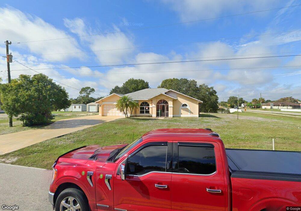
1011 Harbor Blvd Port Charlotte, FL 33952
Estimated Value: $334,000 - $399,000
3
Beds
2
Baths
1,946
Sq Ft
$191/Sq Ft
Est. Value
About This Home
This home is located at 1011 Harbor Blvd, Port Charlotte, FL 33952 and is currently estimated at $371,977, approximately $191 per square foot. 1011 Harbor Blvd is a home located in Charlotte County with nearby schools including Neil Armstrong Elementary School, Port Charlotte Middle School, and Port Charlotte High School.
Ownership History
Date
Name
Owned For
Owner Type
Purchase Details
Closed on
Jul 31, 2001
Sold by
Gordon Douglas E and Williams Harold E
Bought by
Kamal Asif and Chaudhary Aziza M
Current Estimated Value
Home Financials for this Owner
Home Financials are based on the most recent Mortgage that was taken out on this home.
Original Mortgage
$150,350
Outstanding Balance
$58,395
Interest Rate
7.09%
Estimated Equity
$313,582
Create a Home Valuation Report for This Property
The Home Valuation Report is an in-depth analysis detailing your home's value as well as a comparison with similar homes in the area
Home Values in the Area
Average Home Value in this Area
Purchase History
| Date | Buyer | Sale Price | Title Company |
|---|---|---|---|
| Kamal Asif | $155,000 | -- |
Source: Public Records
Mortgage History
| Date | Status | Borrower | Loan Amount |
|---|---|---|---|
| Open | Kamal Asif | $150,350 |
Source: Public Records
Tax History Compared to Growth
Tax History
| Year | Tax Paid | Tax Assessment Tax Assessment Total Assessment is a certain percentage of the fair market value that is determined by local assessors to be the total taxable value of land and additions on the property. | Land | Improvement |
|---|---|---|---|---|
| 2023 | $5,234 | $211,065 | $0 | $0 |
| 2022 | $1,619 | $38,832 | $30,600 | $8,232 |
| 2021 | $4,775 | $228,583 | $13,706 | $214,877 |
| 2020 | $4,690 | $225,054 | $12,750 | $212,304 |
| 2019 | $4,793 | $233,207 | $12,750 | $220,457 |
| 2018 | $4,208 | $211,065 | $11,475 | $199,590 |
| 2017 | $4,002 | $199,841 | $15,898 | $183,943 |
| 2016 | $3,756 | $175,552 | $0 | $0 |
| 2015 | $3,476 | $159,593 | $0 | $0 |
| 2014 | $3,020 | $140,213 | $0 | $0 |
Source: Public Records
Map
Nearby Homes
- 1012 Waterside St
- 1022 Waterside St
- 21427 Michigan Ave
- 21460 Chipman Ave
- 21499 Peachland Blvd
- 21498 Beaverton Ave
- 21460 Sheldon Ave
- 21427 Sheldon Ave
- 21522 Beaverton Ave
- 1017 Guild St
- 400 Waterside St
- 408 Fletcher St
- 1228 Ardella St
- 21252 Kennedy Ave
- 21507 Dobbins Ave
- 1178 Sultana St
- 482 Guild St
- 1041 Bounds St
- 513 Bounds St
- 375 Waterside St
- 1029 Harbor Blvd
- 21427 Peachland Blvd
- 529 Harbor Blvd
- 1037 Harbor Blvd
- 21435 Peachland Blvd
- 519 Harbor Blvd
- 530 Waterside St
- 511 Harbor Blvd
- 21452 Peachland Blvd
- 520 Waterside St
- 1053 Harbor Blvd
- 21442 Michigan Ave
- 1046 Waterside St
- 1009 Waterside St
- 1017 Waterside St
- 21450 Michigan Ave
- 21443 Michigan Ave
- 21460 Peachland Blvd
- 1025 Street