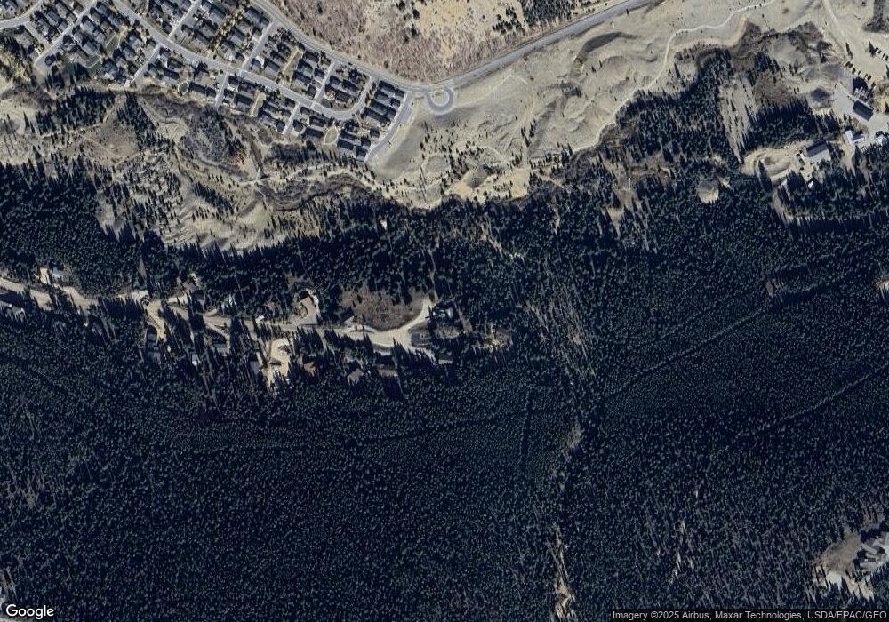
1011 High Point Dr Breckenridge, CO 80424
Estimated Value: $1,396,000 - $1,705,000
2
Beds
2
Baths
1,127
Sq Ft
$1,367/Sq Ft
Est. Value
About This Home
This home is located at 1011 High Point Dr, Breckenridge, CO 80424 and is currently estimated at $1,540,720, approximately $1,367 per square foot. 1011 High Point Dr is a home with nearby schools including Breckenridge Elementary School, Summit Middle School, and Summit High School.
Ownership History
Date
Name
Owned For
Owner Type
Purchase Details
Closed on
Jan 31, 2020
Sold by
Denzer Karl D and Quinn Kelly Ann
Bought by
Denzer Karl D
Current Estimated Value
Home Financials for this Owner
Home Financials are based on the most recent Mortgage that was taken out on this home.
Original Mortgage
$400,000
Outstanding Balance
$355,109
Interest Rate
3.74%
Mortgage Type
New Conventional
Estimated Equity
$1,185,611
Purchase Details
Closed on
Mar 12, 2010
Sold by
Robinson Glenn David and Robinson Grace Monique
Bought by
Denzer Karl D and Kelly Ann Quinn
Home Financials for this Owner
Home Financials are based on the most recent Mortgage that was taken out on this home.
Original Mortgage
$436,000
Interest Rate
4.97%
Mortgage Type
New Conventional
Create a Home Valuation Report for This Property
The Home Valuation Report is an in-depth analysis detailing your home's value as well as a comparison with similar homes in the area
Home Values in the Area
Average Home Value in this Area
Purchase History
| Date | Buyer | Sale Price | Title Company |
|---|---|---|---|
| Denzer Karl D | -- | Equifax Settlement Svcs Inc | |
| Denzer Karl D | $545,000 | Title Company Of The Rockies |
Source: Public Records
Mortgage History
| Date | Status | Borrower | Loan Amount |
|---|---|---|---|
| Open | Denzer Karl D | $400,000 | |
| Closed | Denzer Karl D | $436,000 |
Source: Public Records
Tax History Compared to Growth
Tax History
| Year | Tax Paid | Tax Assessment Tax Assessment Total Assessment is a certain percentage of the fair market value that is determined by local assessors to be the total taxable value of land and additions on the property. | Land | Improvement |
|---|---|---|---|---|
| 2024 | $5,059 | $106,530 | -- | -- |
| 2023 | $5,059 | $102,845 | $0 | $0 |
| 2022 | $3,475 | $66,108 | $0 | $0 |
| 2021 | $3,292 | $63,256 | $0 | $0 |
| 2020 | $2,994 | $57,055 | $0 | $0 |
| 2019 | $2,951 | $57,055 | $0 | $0 |
| 2018 | $2,301 | $43,108 | $0 | $0 |
| 2017 | $2,105 | $43,108 | $0 | $0 |
| 2016 | $2,303 | $46,448 | $0 | $0 |
| 2015 | $2,229 | $46,448 | $0 | $0 |
| 2014 | $2,086 | $42,885 | $0 | $0 |
| 2013 | -- | $42,885 | $0 | $0 |
Source: Public Records
Map
Nearby Homes
- 861 High Point Dr
- 250 Sallie Barber Rd
- 285 Green Jay Ln
- 378 Juniata Cir
- 115 Sallie Barber Rd
- 38 Huckleberry Green
- 57 Apex Cir
- 0190 Berlin Placer Rd
- 14 Dunkin Dr
- 86 Grey Jay Ln
- 0260 Fuller Placer Rd
- 316 N Fuller Placer Rd
- 290 N Fuller Placer Rd
- 160 N Fuller Placer Rd
- 150 Fuller Placer Rd
- 526 Fuller Placer Rd
- 56 View Ln Unit 7F
- 158 Stallion Loop Unit 37
- 175 Stallion Loop Unit 42
- 528 Fuller Placer Rd
- 1012 High Point Dr
- 1002 High Point Dr
- 971 High Point Dr
- 982 High Point Dr
- 941 High Point Dr
- 952 High Point Dr
- 1091 High Point Dr
- 921 High Point Dr
- 23 Paradise Green
- 19 Paradise Green
- 21 Paradise Green
- 912 High Point Dr
- 15 Logan Rd
- 11 Logan Rd
- 891 High Point Dr
- 7 Logan Rd
- 892 High Point Dr
- 10 Paradise Green
- 5 Logan Rd
- 14 Paradise Green
