1011 Kern Rd Fowlerville, MI 48836
Estimated Value: $403,000 - $448,000
4
Beds
2
Baths
1,756
Sq Ft
$241/Sq Ft
Est. Value
About This Home
This home is located at 1011 Kern Rd, Fowlerville, MI 48836 and is currently estimated at $423,520, approximately $241 per square foot. 1011 Kern Rd is a home located in Livingston County with nearby schools including H.T. Smith Elementary School, Natalie Kreeger Elementary School, and Fowlerville Junior High School.
Ownership History
Date
Name
Owned For
Owner Type
Purchase Details
Closed on
Aug 27, 2021
Sold by
Judith E Sitar Lifetime Trust and Binetti Mary E
Bought by
Canre Shana M and Canre-Johnson Agustin
Current Estimated Value
Purchase Details
Closed on
Apr 23, 2019
Sold by
Sitar Judith E
Bought by
Judith E Sitar Lifetime T
Create a Home Valuation Report for This Property
The Home Valuation Report is an in-depth analysis detailing your home's value as well as a comparison with similar homes in the area
Home Values in the Area
Average Home Value in this Area
Purchase History
| Date | Buyer | Sale Price | Title Company |
|---|---|---|---|
| Canre Shana M | $370,000 | Reputation First Title | |
| Judith E Sitar Lifetime T | -- | None Available |
Source: Public Records
Tax History Compared to Growth
Tax History
| Year | Tax Paid | Tax Assessment Tax Assessment Total Assessment is a certain percentage of the fair market value that is determined by local assessors to be the total taxable value of land and additions on the property. | Land | Improvement |
|---|---|---|---|---|
| 2025 | $4,064 | $168,900 | $0 | $0 |
| 2024 | $1,789 | $158,600 | $0 | $0 |
| 2023 | $1,710 | $141,500 | $0 | $0 |
| 2022 | $2,476 | $113,100 | $0 | $0 |
| 2021 | $2,476 | $125,000 | $0 | $0 |
| 2020 | $2,476 | $118,100 | $0 | $0 |
| 2019 | $2,409 | $113,100 | $0 | $0 |
| 2018 | $2,366 | $113,400 | $0 | $0 |
| 2017 | $2,320 | $113,400 | $0 | $0 |
| 2016 | $2,304 | $109,800 | $0 | $0 |
| 2014 | $913 | $80,311 | $0 | $0 |
| 2012 | $913 | $77,555 | $0 | $0 |
Source: Public Records
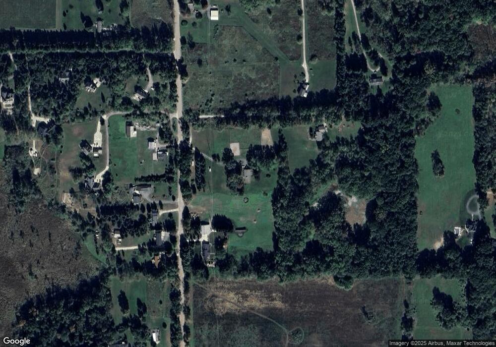
Map
Nearby Homes
- 1088 Kern Rd
- 7024 Lange Rd
- 323 S Truhn Rd
- 00 Fowlerville Rd
- 8351 Lange Rd
- Parcel 20 Munsell Rd
- 7031 Munsell Rd
- 625 Fowlerville Rd
- 6111 Sargent Rd
- 5748 W Coon Lake Rd
- 971 Red Cedar Dr
- Parcel A Pingree Rd
- 5430 Arboretum Trail
- 4740 Spring Creek Dr Unit 134
- 0 Adelines (Lot 19) Way Unit 217036320
- 0 Adelines (Lot 20) Way Unit 217036090
- 1019 River Line Dr Unit 396
- 1021 River Line Dr Unit 395
- 996 River Line Dr Unit 38
- 4477 Single Tree Dr