Estimated Value: $346,160 - $384,000
3
Beds
2
Baths
2,304
Sq Ft
$157/Sq Ft
Est. Value
About This Home
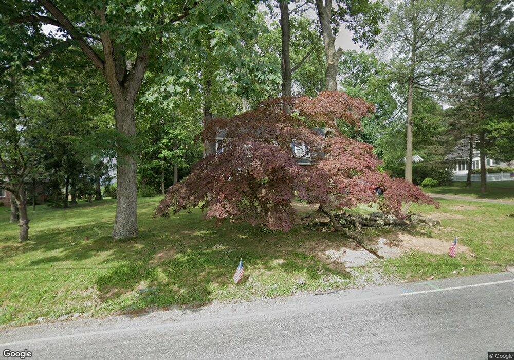
This home is located at 1011 Locust Grove Rd, York, PA 17402 and is currently estimated at $362,290, approximately $157 per square foot. 1011 Locust Grove Rd is a home located in York County with nearby schools including Locust Grove Elementary School, Red Lion Area Junior High School, and Red Lion Area Senior High School.
Ownership History
Date
Name
Owned For
Owner Type
Purchase Details
Closed on
Nov 14, 2005
Sold by
Taccard Robert W and Taccard Betty A
Bought by
Parson James H and Parson Elizabeth A
Current Estimated Value
Home Financials for this Owner
Home Financials are based on the most recent Mortgage that was taken out on this home.
Original Mortgage
$189,900
Outstanding Balance
$104,684
Interest Rate
6.14%
Mortgage Type
Fannie Mae Freddie Mac
Estimated Equity
$257,606
Purchase Details
Closed on
Dec 28, 1983
Bought by
Taccard Robert W and Taccard Betty A
Create a Home Valuation Report for This Property
The Home Valuation Report is an in-depth analysis detailing your home's value as well as a comparison with similar homes in the area
Home Values in the Area
Average Home Value in this Area
Purchase History
| Date | Buyer | Sale Price | Title Company |
|---|---|---|---|
| Parson James H | $239,900 | None Available | |
| Taccard Robert W | $68,000 | -- |
Source: Public Records
Mortgage History
| Date | Status | Borrower | Loan Amount |
|---|---|---|---|
| Open | Parson James H | $189,900 |
Source: Public Records
Tax History Compared to Growth
Tax History
| Year | Tax Paid | Tax Assessment Tax Assessment Total Assessment is a certain percentage of the fair market value that is determined by local assessors to be the total taxable value of land and additions on the property. | Land | Improvement |
|---|---|---|---|---|
| 2025 | $4,685 | $149,890 | $44,470 | $105,420 |
| 2024 | $4,501 | $149,890 | $44,470 | $105,420 |
| 2023 | $4,501 | $149,890 | $44,470 | $105,420 |
| 2022 | $4,501 | $149,890 | $44,470 | $105,420 |
| 2021 | $4,374 | $149,890 | $44,470 | $105,420 |
| 2020 | $4,374 | $149,890 | $44,470 | $105,420 |
| 2019 | $4,359 | $149,890 | $44,470 | $105,420 |
| 2018 | $4,336 | $149,890 | $44,470 | $105,420 |
| 2017 | $4,299 | $149,890 | $44,470 | $105,420 |
| 2016 | $0 | $149,890 | $44,470 | $105,420 |
| 2015 | -- | $149,890 | $44,470 | $105,420 |
| 2014 | -- | $149,890 | $44,470 | $105,420 |
Source: Public Records
Map
Nearby Homes
- 731 Locust Grove Rd
- 15 Nina Dr
- 4049 Woodspring Ln Unit 4049
- 4117 Woodspring Ln Unit 4117
- 970 Castle Pond Dr
- 4079 Wilshire Dr
- 4220 Peach Orchard Hollow
- 3450 Blackfriar Ln
- 4230 Peach Orchard Hollow
- 4135 Camberlay Dr
- 409 White Rose Ln
- 3673 Regency Ln
- 4119 Greywood Dr
- 3525 Pebble Ridge Dr
- 65 Angela Ln
- 423 White Rose Ln
- 950 Cape Horn Rd
- 3704 Skipton Cir
- 3395 Cranmere Ln
- 1625 Rosebrook Dr
- 1001 Locust Grove Rd
- 1021 Locust Grove Rd
- 990 & 1000 Locust Grove Rd
- 1010 Locust Grove Rd
- 990 & 1000 Locust Grove Rd
- 971 Locust Grove Rd
- 1020 Locust Grove Rd
- 980 Locust Grove Rd
- 1026 Locust Grove Rd
- 1030 Locust Grove Rd
- 960 Locust Grove Rd
- 961 Locust Grove Rd
- 1000 Locust Grove Rd
- 1040 Locust Grove Rd
- 70 Ezios Way
- 920 Locust Grove Rd
- 1070 Locust Grove Rd
- 214 Jody Dr
- 214 Jody Dr Unit 214
- 1080 Locust Grove Rd