Estimated Value: $588,000 - $845,000
4
Beds
4
Baths
3,814
Sq Ft
$189/Sq Ft
Est. Value
About This Home
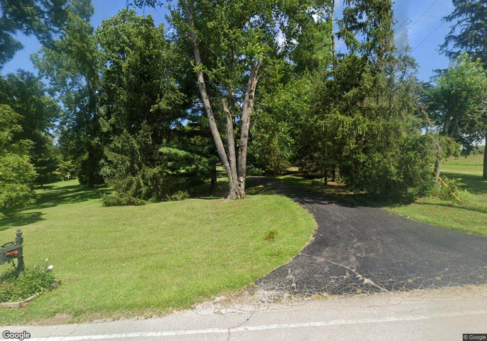
This home is located at 1011 Long Rd, Xenia, OH 45385 and is currently estimated at $719,535, approximately $188 per square foot. 1011 Long Rd is a home located in Greene County with nearby schools including Xenia High School.
Ownership History
Date
Name
Owned For
Owner Type
Purchase Details
Closed on
Jan 30, 2014
Sold by
Dunn Vernon Lee and Dunn Patricia L
Bought by
Casey Donald and Casey Terrie H
Current Estimated Value
Home Financials for this Owner
Home Financials are based on the most recent Mortgage that was taken out on this home.
Original Mortgage
$180,000
Outstanding Balance
$52,214
Interest Rate
4.49%
Mortgage Type
New Conventional
Estimated Equity
$667,321
Create a Home Valuation Report for This Property
The Home Valuation Report is an in-depth analysis detailing your home's value as well as a comparison with similar homes in the area
Home Values in the Area
Average Home Value in this Area
Purchase History
| Date | Buyer | Sale Price | Title Company |
|---|---|---|---|
| Casey Donald | $380,000 | Sterling Land Title North Ll |
Source: Public Records
Mortgage History
| Date | Status | Borrower | Loan Amount |
|---|---|---|---|
| Open | Casey Donald | $180,000 |
Source: Public Records
Tax History Compared to Growth
Tax History
| Year | Tax Paid | Tax Assessment Tax Assessment Total Assessment is a certain percentage of the fair market value that is determined by local assessors to be the total taxable value of land and additions on the property. | Land | Improvement |
|---|---|---|---|---|
| 2024 | $8,398 | $175,810 | $30,340 | $145,470 |
| 2023 | $8,398 | $175,810 | $30,340 | $145,470 |
| 2022 | $7,718 | $136,940 | $28,080 | $108,860 |
| 2021 | $7,811 | $136,940 | $28,080 | $108,860 |
| 2020 | $7,247 | $136,940 | $28,080 | $108,860 |
| 2019 | $7,079 | $125,850 | $24,750 | $101,100 |
| 2018 | $7,104 | $125,850 | $24,750 | $101,100 |
| 2017 | $5,005 | $125,850 | $24,750 | $101,100 |
| 2016 | $5,005 | $87,250 | $21,640 | $65,610 |
| 2015 | $4,888 | $87,250 | $21,640 | $65,610 |
| 2014 | $4,591 | $87,250 | $21,640 | $65,610 |
Source: Public Records
Map
Nearby Homes
- 841 Paintersville New Jasp Rd
- 01 Jasper Rd
- 1293 Gultice Rd
- 0 Jasper Rd Unit 931350
- 3710 N Lakeshore Dr
- 827 Blackfoot Trail
- OA Apache Trail
- 875 Osage Trail
- 4206 N Lakeshore Dr
- 4065 Apache Trail
- 4106 Navajo Trail
- 4070 Beach Trail
- 4184 Shawnee Trail
- 4208 Shawnee Trail
- 4270 Shawnee Trail
- 4288 Alleghany Trail
- 1736 Winchester Rd
- 2400 U S 68
- 966 U S 68
- 4.377 ac Cherry Grove Rd
- 0 Long Rd Unit 394809
- 0 Long Rd Unit 445581
- 0 Long Rd Unit 455324
- 0 Long Rd Unit 457752
- 0 Long Rd Unit 465397
- 0 Long Rd Unit 474487
- 0 Long Rd Unit 483061
- 60 Long Rd
- 3 Long Rd
- 4 Long Rd
- 0 Long Rd Unit 582955
- 0 Long Rd Unit 337305
- 1071 Long Rd
- 965 Long Rd
- 909 Long Rd
- 990 Long Rd
- 1098 Long Rd
- 1073 Long Rd
- 982 Long Rd
- 881 Long Rd