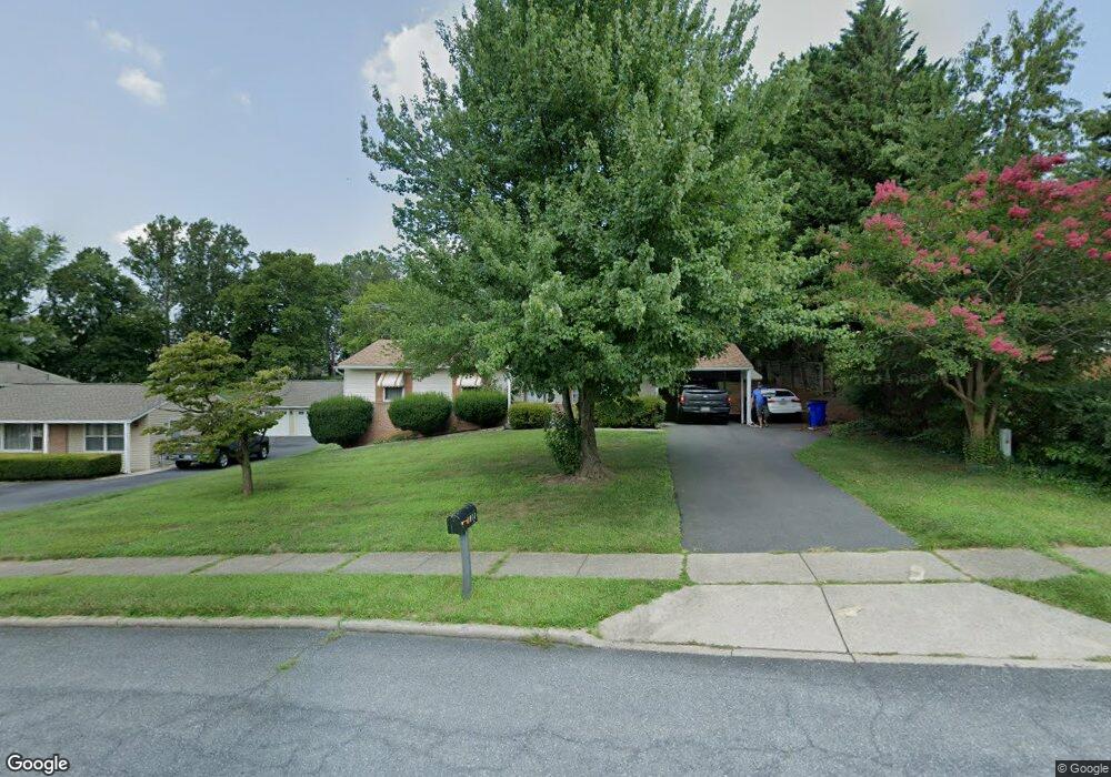
1011 Merridale Blvd Mount Airy, MD 21771
Estimated Value: $405,466 - $489,000
4
Beds
3
Baths
1,196
Sq Ft
$383/Sq Ft
Est. Value
About This Home
This home is located at 1011 Merridale Blvd, Mount Airy, MD 21771 and is currently estimated at $458,367, approximately $383 per square foot. 1011 Merridale Blvd is a home located in Carroll County with nearby schools including Parr's Ridge Elementary School, Mount Airy Elementary School, and Mount Airy Middle School.
Ownership History
Date
Name
Owned For
Owner Type
Purchase Details
Closed on
Oct 31, 2002
Sold by
Glassband Douglas Scott
Bought by
Glassband Douglas Scott
Current Estimated Value
Purchase Details
Closed on
Sep 25, 1997
Sold by
Secretary Of Veterans Affairs
Bought by
Glassband Douglas Scott and Glassband Carrie
Purchase Details
Closed on
Apr 24, 1996
Sold by
Munday Kenneth A
Bought by
Secretary Of Veterans Affairs
Create a Home Valuation Report for This Property
The Home Valuation Report is an in-depth analysis detailing your home's value as well as a comparison with similar homes in the area
Home Values in the Area
Average Home Value in this Area
Purchase History
| Date | Buyer | Sale Price | Title Company |
|---|---|---|---|
| Glassband Douglas Scott | -- | -- | |
| Glassband Douglas Scott | $142,500 | -- | |
| Secretary Of Veterans Affairs | $123,091 | -- |
Source: Public Records
Tax History Compared to Growth
Tax History
| Year | Tax Paid | Tax Assessment Tax Assessment Total Assessment is a certain percentage of the fair market value that is determined by local assessors to be the total taxable value of land and additions on the property. | Land | Improvement |
|---|---|---|---|---|
| 2025 | $4,006 | $330,533 | $0 | $0 |
| 2024 | $4,006 | $305,300 | $142,700 | $162,600 |
| 2023 | $3,807 | $296,767 | $0 | $0 |
| 2022 | $3,697 | $288,233 | $0 | $0 |
| 2021 | $3,588 | $279,700 | $122,700 | $157,000 |
| 2020 | $3,533 | $275,400 | $0 | $0 |
| 2019 | $3,514 | $271,100 | $0 | $0 |
| 2018 | $3,422 | $266,800 | $112,700 | $154,100 |
| 2017 | $3,328 | $259,467 | $0 | $0 |
| 2016 | -- | $252,133 | $0 | $0 |
| 2015 | -- | $244,800 | $0 | $0 |
| 2014 | -- | $244,800 | $0 | $0 |
Source: Public Records
Map
Nearby Homes
- 1103 Midvale Ave
- 202 Troon Cir
- 1010 Parade Ln
- 1402 Woodenbridge Ln
- 902 Parade Ln
- 203 Montgomery Ave
- 1410 Woodenbridge Ln
- 14 Park Ave
- 211 Carroll Ave
- 704 Meadow Field Ct
- 1003 Meadowgreen Dr
- .58+- ACRES Center St
- 0 Dogwood Dr
- 208 East Rd
- 7714 Walnut Ln
- 13848 Old National Pike
- 714 Robinwood Dr
- 33 N Towne Ct
- 692 Ridge Rd
- 1008 N Main St
- 1101 Merridale Blvd
- 1009 Merridale Blvd
- 1012 Merridale Blvd
- 1007 Merridale Blvd
- 1103 Merridale Blvd
- 1102 Merridale Blvd
- 1010 Merridale Blvd
- 1008 Merridale Blvd
- 102 Flower Ave
- 104 Flower Ave
- 1105 Merridale Blvd
- 6 Flower Ave
- 106 Flower Ave
- 1104 Merridale Blvd
- 1011 S Main St
- 1005 Merridale Blvd
- 202 Flower Ct
- 1005 S Main St Unit 3
- 1005 S Main St
- 1006 Merridale Blvd