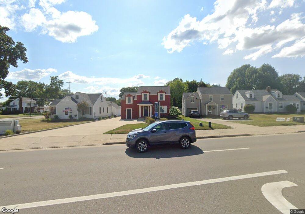
1011 N Main St Canton, OH 44720
Estimated Value: $198,000 - $258,000
--
Bed
1
Bath
1,416
Sq Ft
$155/Sq Ft
Est. Value
About This Home
This home is located at 1011 N Main St, Canton, OH 44720 and is currently estimated at $219,342, approximately $154 per square foot. 1011 N Main St is a home located in Stark County with nearby schools including Orchard Hill Intermediate School, North Canton Middle School, and Hoover High School.
Ownership History
Date
Name
Owned For
Owner Type
Purchase Details
Closed on
Nov 1, 2019
Sold by
Brink George R
Bought by
Brink Insurance Agency Llc
Current Estimated Value
Home Financials for this Owner
Home Financials are based on the most recent Mortgage that was taken out on this home.
Original Mortgage
$120,053
Interest Rate
3.72%
Mortgage Type
New Conventional
Purchase Details
Closed on
Jul 3, 2006
Sold by
Brink Arletta P
Bought by
Brink George R and The George R Brink Jr Trust
Purchase Details
Closed on
Apr 15, 2002
Sold by
Suttelle Donald W
Bought by
Brink Arletta P and Arletta P Brink Revocable Trust
Purchase Details
Closed on
Mar 13, 2001
Sold by
Goren Max H
Bought by
Suttelle Donald W
Home Financials for this Owner
Home Financials are based on the most recent Mortgage that was taken out on this home.
Original Mortgage
$54,250
Interest Rate
7.13%
Mortgage Type
Purchase Money Mortgage
Purchase Details
Closed on
Mar 31, 1997
Sold by
Grove Muriel C
Bought by
Goren Max H
Home Financials for this Owner
Home Financials are based on the most recent Mortgage that was taken out on this home.
Original Mortgage
$40,000
Interest Rate
7.73%
Mortgage Type
New Conventional
Purchase Details
Closed on
Jun 25, 1992
Create a Home Valuation Report for This Property
The Home Valuation Report is an in-depth analysis detailing your home's value as well as a comparison with similar homes in the area
Home Values in the Area
Average Home Value in this Area
Purchase History
| Date | Buyer | Sale Price | Title Company |
|---|---|---|---|
| Brink Insurance Agency Llc | $145,000 | None Available | |
| Brink George R | -- | None Available | |
| Brink Arletta P | $132,000 | -- | |
| Suttelle Donald W | $77,500 | -- | |
| Goren Max H | $55,500 | -- | |
| -- | -- | -- |
Source: Public Records
Mortgage History
| Date | Status | Borrower | Loan Amount |
|---|---|---|---|
| Previous Owner | Brink Insurance Agency Llc | $120,053 | |
| Previous Owner | Suttelle Donald W | $54,250 | |
| Previous Owner | Goren Max H | $40,000 |
Source: Public Records
Tax History Compared to Growth
Tax History
| Year | Tax Paid | Tax Assessment Tax Assessment Total Assessment is a certain percentage of the fair market value that is determined by local assessors to be the total taxable value of land and additions on the property. | Land | Improvement |
|---|---|---|---|---|
| 2025 | -- | $80,290 | $52,570 | $27,720 |
| 2024 | -- | $80,290 | $52,570 | $27,720 |
| 2023 | $5,208 | $72,980 | $47,780 | $25,200 |
| 2022 | $5,081 | $72,980 | $47,780 | $25,200 |
| 2021 | $4,912 | $72,980 | $47,780 | $25,200 |
| 2020 | $4,894 | $69,510 | $45,500 | $24,010 |
| 2019 | $4,629 | $64,620 | $45,500 | $19,120 |
| 2018 | $4,347 | $64,620 | $45,500 | $19,120 |
| 2017 | $3,308 | $49,430 | $33,010 | $16,420 |
| 2016 | $3,315 | $49,430 | $33,010 | $16,420 |
| 2015 | $3,339 | $49,430 | $33,010 | $16,420 |
| 2014 | $1,238 | $45,750 | $30,560 | $15,190 |
| 2013 | $1,661 | $45,750 | $30,560 | $15,190 |
Source: Public Records
Map
Nearby Homes
- 807 N Main St
- 404 7th St NW
- 1031 Park Ave NE
- 1060 Park Ave NE
- 1263 Los Angeles Blvd NW
- 455 Royer Ave NW
- 2707 Hyacinth Dr NW
- 742 Portage St NW
- 303 W Park Rd NW
- 201 Parkview Ave NW
- 717 7th St NE
- 945 Royal Oak Ave NE
- 406 Hower St NE
- 870 Honeysuckle Cir NE
- 825 6th St NE
- 1275 Janet Ave NW
- 448 Hower St NE
- 360 Woodside Ave NE
- 1314 Bel Air Dr NW
- 2684 Fordham Cir NW
- 1005 N Main St
- 1017 N Main St
- 1023 N Main St
- 211 Woodrow St NW
- 1029 N Main St
- 931 N Main St
- 931 N Main St Unit 202
- 1033 N Main St
- 210 Woodrow St NW
- 215 Woodrow St NW
- 112 Woodrow St NW
- 200 Woodrow St NW
- 0 11th St NW Unit 4012634
- 0 11th St NW Unit 3807288
- 0 11th St NW Unit 4363601
- 221 Woodrow St NW
- 1012 N Main St
- 1012 N Main St Unit B
- 1012 N Main St Unit A
- 212 Woodrow St NW