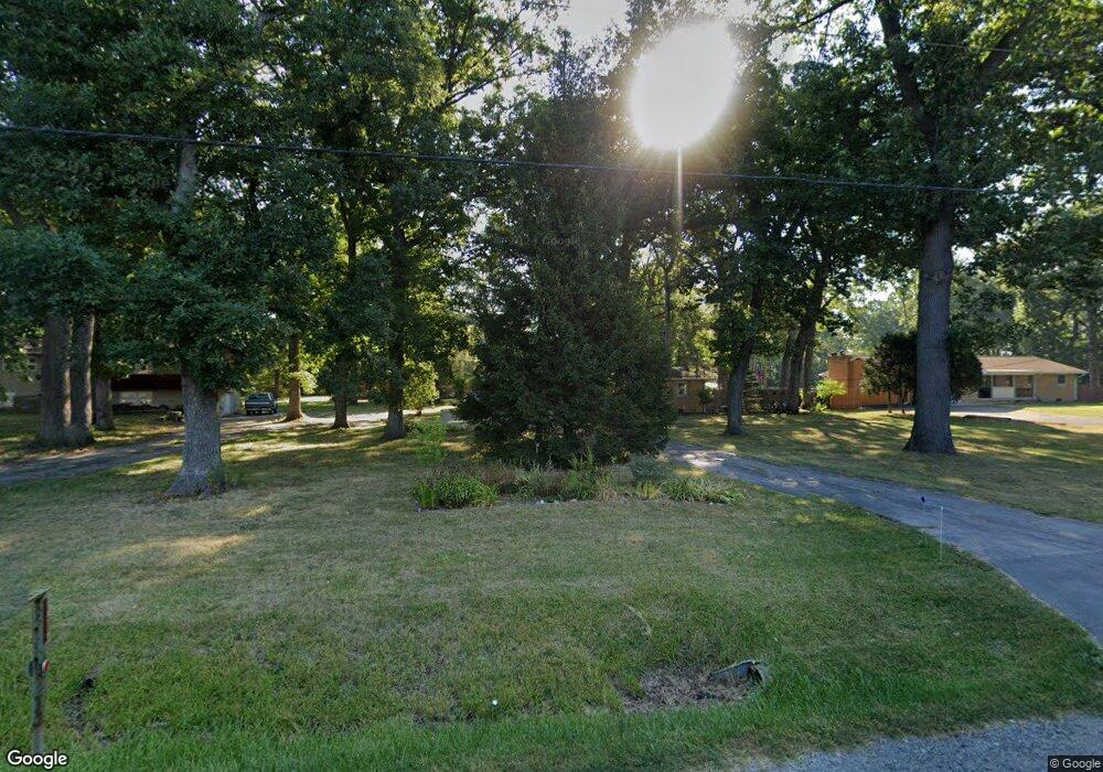
1011 N State Road 149 Valparaiso, IN 46385
Estimated Value: $326,303 - $382,000
3
Beds
2
Baths
2,154
Sq Ft
$168/Sq Ft
Est. Value
About This Home
This home is located at 1011 N State Road 149, Valparaiso, IN 46385 and is currently estimated at $362,576, approximately $168 per square foot. 1011 N State Road 149 is a home located in Porter County with nearby schools including Liberty Elementary School, Chesterton Middle School, and Liberty Intermediate School.
Ownership History
Date
Name
Owned For
Owner Type
Purchase Details
Closed on
Apr 12, 2012
Sold by
Seifrig Robert L and Seifrig Bernadine M
Bought by
Seifrig Robert L and Seifrig Bernadine M
Current Estimated Value
Purchase Details
Closed on
Mar 30, 2011
Sold by
Brunker Bernadine M and Siefrig Bernadine M
Bought by
Seifrig Bernadine M and Seifrig Robert L
Create a Home Valuation Report for This Property
The Home Valuation Report is an in-depth analysis detailing your home's value as well as a comparison with similar homes in the area
Home Values in the Area
Average Home Value in this Area
Purchase History
| Date | Buyer | Sale Price | Title Company |
|---|---|---|---|
| Seifrig Robert L | -- | None Available | |
| Seifrig Bernadine M | -- | None Available |
Source: Public Records
Tax History Compared to Growth
Tax History
| Year | Tax Paid | Tax Assessment Tax Assessment Total Assessment is a certain percentage of the fair market value that is determined by local assessors to be the total taxable value of land and additions on the property. | Land | Improvement |
|---|---|---|---|---|
| 2024 | $1,604 | $270,100 | $39,400 | $230,700 |
| 2023 | $1,550 | $211,600 | $32,800 | $178,800 |
| 2022 | $1,410 | $194,700 | $32,800 | $161,900 |
| 2021 | $1,396 | $184,600 | $32,800 | $151,800 |
| 2020 | $1,258 | $166,300 | $28,500 | $137,800 |
| 2019 | $1,177 | $152,700 | $28,500 | $124,200 |
| 2018 | $1,160 | $152,300 | $28,500 | $123,800 |
| 2017 | $1,075 | $147,200 | $28,500 | $118,700 |
| 2016 | $1,067 | $146,100 | $29,300 | $116,800 |
| 2014 | $847 | $130,700 | $26,200 | $104,500 |
| 2013 | -- | $125,300 | $26,800 | $98,500 |
Source: Public Records
Map
Nearby Homes
- 0 St Rd 149 Unit NRA824925
- 2513 Springdale St
- TBD Lenburg Rd
- 0-TBD Lenburg Rd
- 2141 Larchwood Ave
- 2131 Pepperbush Ave
- 2375 Arrow St
- Tbd- 60.04 Creasy St
- 2621 Mccool Rd
- 2528 Mccool Rd
- 2419 Orange St
- 2449 Ontario St
- 2176 Mccool Rd
- 2420 Ontario St
- 2829 Cheryl St
- V/L U S 20
- 1461 Eagle St
- The Duneland Plan at Village in Burns Harbor
- 357 Melton Rd
- 1138 Weaver Way
- 1011 Saint Road 149
- 1013 N State Road 149
- 1007 N State Road 149
- 1015 N State Road 149
- 1015 Saint Road 149
- 1015 N State Road 149
- 1015 St Rd
- 1005 N State Road 149
- 7489 Arbor Ct
- 295 W 1000 N
- 1021 N State Road 149
- 7493 Arbor Ct
- 7481 Arbor Ct
- 7471 Arbor Ct
- 7492 Arbor Ct
- 1027 N State Road 149
- 289 W 1000 N
- 7478 Arbor Ct
- 296 W 1000 N
- 7461 Arbor Ct