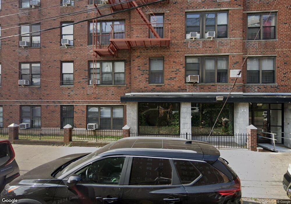
1011 Nameoke St Unit L- D Far Rockaway, NY 11691
Far Rockaway NeighborhoodEstimated Value: $170,000 - $288,093
2
Beds
1
Bath
973
Sq Ft
$222/Sq Ft
Est. Value
About This Home
This home is located at 1011 Nameoke St Unit L- D, Far Rockaway, NY 11691 and is currently estimated at $216,031, approximately $222 per square foot. 1011 Nameoke St Unit L- D is a home located in Queens County with nearby schools including The Randolph Holder School for Social Justice - Q253, P.S. 253 The Magnet School of Multicultural Humanities, and Ms 53 Brian Piccolo.
Ownership History
Date
Name
Owned For
Owner Type
Purchase Details
Closed on
Nov 2, 2018
Sold by
Estate Of Elton Q Crump
Bought by
Acosta Adelis and Garcia Llano Francisco E
Current Estimated Value
Home Financials for this Owner
Home Financials are based on the most recent Mortgage that was taken out on this home.
Original Mortgage
$124,000
Outstanding Balance
$108,810
Interest Rate
4.7%
Mortgage Type
Unknown
Estimated Equity
$107,221
Create a Home Valuation Report for This Property
The Home Valuation Report is an in-depth analysis detailing your home's value as well as a comparison with similar homes in the area
Home Values in the Area
Average Home Value in this Area
Purchase History
| Date | Buyer | Sale Price | Title Company |
|---|---|---|---|
| Acosta Adelis | $155,000 | -- |
Source: Public Records
Mortgage History
| Date | Status | Borrower | Loan Amount |
|---|---|---|---|
| Open | Acosta Adelis | $124,000 | |
| Closed | Acosta Adelis | $124,000 |
Source: Public Records
Tax History Compared to Growth
Tax History
| Year | Tax Paid | Tax Assessment Tax Assessment Total Assessment is a certain percentage of the fair market value that is determined by local assessors to be the total taxable value of land and additions on the property. | Land | Improvement |
|---|---|---|---|---|
| 2025 | $4,016 | $29,984 | $5,198 | $24,786 |
| 2024 | $4,016 | $32,126 | $5,198 | $26,928 |
| 2023 | $3,998 | $31,977 | $5,198 | $26,779 |
| 2022 | $3,853 | $31,764 | $5,198 | $26,566 |
| 2021 | $3,625 | $29,548 | $5,198 | $24,350 |
| 2020 | $3,691 | $34,016 | $5,198 | $28,818 |
| 2019 | $3,482 | $32,147 | $5,198 | $26,949 |
| 2018 | $3,256 | $25,596 | $1,028 | $24,568 |
| 2017 | $3,029 | $23,814 | $1,028 | $22,786 |
| 2016 | $2,780 | $23,814 | $1,028 | $22,786 |
| 2015 | $1,139 | $19,409 | $1,028 | $18,381 |
| 2014 | $1,139 | $17,167 | $1,028 | $16,139 |
Source: Public Records
Map
Nearby Homes
- 1 Hurley Ct
- 1040 Neilson St Unit 3B3
- 1092 Beach 12th St
- 1814 Gateway Blvd
- 802 Empire Ave
- 598 Beach 19th St
- 3 Williams Ct
- 14 Williams Ct
- 903 Hicksville Rd
- 903 903 Hicksville
- 10-26 Beach 22nd St
- 2202 Loretta Rd
- 636 Beach 22nd St
- 3-01 Beach 15th St
- 1292 Augustina Ave
- 12-99 Brunswick Ave
- 1260 Central Ave
- 2206 Regina Ave
- 268 Beach 17th St
- 500 Beach 22nd St
- 1011 Nameoke St Unit 1-A
- 1011 Nameoke St Unit 5E
- 1011 Nameoke St Unit 6J
- 10-11 Nameoke St
- 1011 Nameoke St Unit 3J
- 1011 Nameoke St Unit 6K
- 1011 Nameoke St Unit 6J
- 1011 Nameoke St Unit 6H
- 1011 Nameoke St Unit 6G
- 1011 Nameoke St Unit 6F
- 1011 Nameoke St Unit 6E
- 1011 Nameoke St Unit 6D
- 1011 Nameoke St Unit 6C
- 1011 Nameoke St Unit 6B
- 1011 Nameoke St Unit 6A
- 1011 Nameoke St Unit 5K
- 1011 Nameoke St Unit 5J
- 1011 Nameoke St Unit 5H
- 1011 Nameoke St Unit 5G
- 1011 Nameoke St Unit 5F