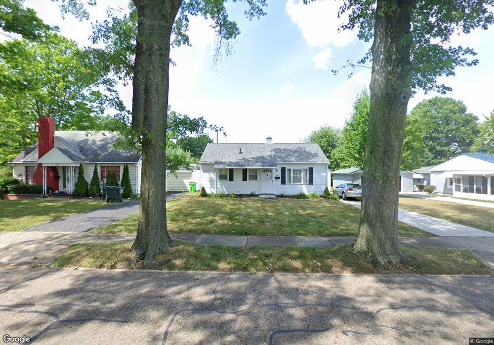
1011 Overlook Dr Alliance, OH 44601
Estimated Value: $102,210 - $177,000
3
Beds
1
Bath
816
Sq Ft
$157/Sq Ft
Est. Value
About This Home
This home is located at 1011 Overlook Dr, Alliance, OH 44601 and is currently estimated at $128,303, approximately $157 per square foot. 1011 Overlook Dr is a home located in Stark County with nearby schools including Alliance Early Learning School, Alliance Intermediate School at Northside, and Alliance Middle School.
Ownership History
Date
Name
Owned For
Owner Type
Purchase Details
Closed on
May 9, 2011
Sold by
Ameser Ana G
Bought by
Dager Corina A
Current Estimated Value
Purchase Details
Closed on
Sep 19, 1994
Sold by
Nogle Donald L
Bought by
Suciu Ana
Home Financials for this Owner
Home Financials are based on the most recent Mortgage that was taken out on this home.
Original Mortgage
$30,000
Interest Rate
8.44%
Mortgage Type
New Conventional
Create a Home Valuation Report for This Property
The Home Valuation Report is an in-depth analysis detailing your home's value as well as a comparison with similar homes in the area
Home Values in the Area
Average Home Value in this Area
Purchase History
| Date | Buyer | Sale Price | Title Company |
|---|---|---|---|
| Dager Corina A | -- | Attorney | |
| Suciu Ana | $45,000 | -- |
Source: Public Records
Mortgage History
| Date | Status | Borrower | Loan Amount |
|---|---|---|---|
| Previous Owner | Suciu Ana | $30,000 |
Source: Public Records
Tax History Compared to Growth
Tax History
| Year | Tax Paid | Tax Assessment Tax Assessment Total Assessment is a certain percentage of the fair market value that is determined by local assessors to be the total taxable value of land and additions on the property. | Land | Improvement |
|---|---|---|---|---|
| 2025 | -- | $20,550 | $8,190 | $12,360 |
| 2024 | -- | $20,550 | $8,190 | $12,360 |
| 2023 | $805 | $19,570 | $7,210 | $12,360 |
| 2022 | $811 | $19,570 | $7,210 | $12,360 |
| 2021 | $813 | $19,570 | $7,210 | $12,360 |
| 2020 | $737 | $16,560 | $6,270 | $10,290 |
| 2019 | $727 | $16,570 | $6,270 | $10,300 |
| 2018 | $730 | $16,570 | $6,270 | $10,300 |
| 2017 | $655 | $14,600 | $5,220 | $9,380 |
| 2016 | $768 | $16,980 | $5,220 | $11,760 |
| 2015 | $775 | $16,980 | $5,220 | $11,760 |
| 2014 | $724 | $15,090 | $4,620 | $10,470 |
| 2013 | $361 | $15,090 | $4,620 | $10,470 |
Source: Public Records
Map
Nearby Homes
- 1321 Parkway Blvd
- 1038 Fairview Place
- 970 Kingsway St
- 738 Kingsway St
- 1201 Overlook Dr
- 1515 S Rockhill Ave
- 896 Parkway Blvd
- 884 W College Rd
- 734 Parkway Blvd
- 725 W Summit St
- 645 W Summit St
- 203 Glamorgan St
- 2050 Federal Ave
- 2112 Blenheim Ave
- 140 W Summit St
- 565 W Broadway St
- 807 S Union Ave
- 1475 Chatauqua Ct
- 2220 Western Ave
- 112 E College St
- 1021 Overlook Dr
- 1001 Overlook Dr
- 1010 Parkside Dr
- 1000 Parkside Dr
- 1030 Parkside Dr
- 983 Overlook Dr
- 990 Parkside Dr
- 1040 Parkside Dr
- 1030 Overlook Dr
- 1020 Overlook Dr
- 1048 Overlook Dr
- 1042 Parkside Dr
- 984 Parkside Dr
- 975 Overlook Dr
- 1052 Parkside Dr
- 998 Overlook Dr
- 1062 Parkside Dr
- 1035 Glenwood Dr
- 1021 Glenwood Dr
- 1065 Overlook Dr