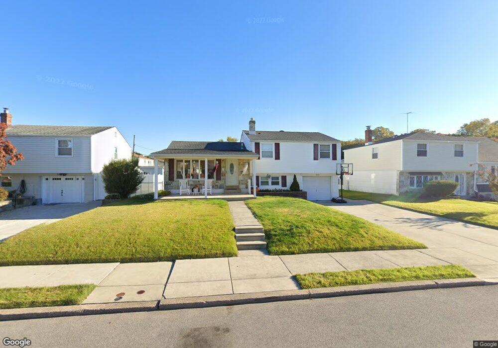
1011 Rennard St Philadelphia, PA 19116
Somerton NeighborhoodEstimated Value: $402,071 - $503,000
--
Bed
--
Bath
1,182
Sq Ft
$393/Sq Ft
Est. Value
About This Home
This home is located at 1011 Rennard St, Philadelphia, PA 19116 and is currently estimated at $464,768, approximately $393 per square foot. 1011 Rennard St is a home located in Philadelphia County with nearby schools including Loesche William H School, CCA Baldi Middle School, and George Washington High School.
Ownership History
Date
Name
Owned For
Owner Type
Purchase Details
Closed on
Jun 15, 2004
Sold by
Benhayon Dennis G and Benhayon Julia A
Bought by
Riley Eric C and Riley Megan F
Current Estimated Value
Home Financials for this Owner
Home Financials are based on the most recent Mortgage that was taken out on this home.
Original Mortgage
$191,200
Outstanding Balance
$94,217
Interest Rate
6.12%
Mortgage Type
Purchase Money Mortgage
Estimated Equity
$370,551
Create a Home Valuation Report for This Property
The Home Valuation Report is an in-depth analysis detailing your home's value as well as a comparison with similar homes in the area
Home Values in the Area
Average Home Value in this Area
Purchase History
| Date | Buyer | Sale Price | Title Company |
|---|---|---|---|
| Riley Eric C | $239,000 | -- |
Source: Public Records
Mortgage History
| Date | Status | Borrower | Loan Amount |
|---|---|---|---|
| Open | Riley Eric C | $191,200 | |
| Closed | Riley Eric C | $23,850 |
Source: Public Records
Tax History Compared to Growth
Tax History
| Year | Tax Paid | Tax Assessment Tax Assessment Total Assessment is a certain percentage of the fair market value that is determined by local assessors to be the total taxable value of land and additions on the property. | Land | Improvement |
|---|---|---|---|---|
| 2025 | $4,559 | $400,200 | $80,040 | $320,160 |
| 2024 | $4,559 | $400,200 | $80,040 | $320,160 |
| 2023 | $4,559 | $325,700 | $65,140 | $260,560 |
| 2022 | $2,907 | $280,700 | $65,140 | $215,560 |
| 2021 | $3,537 | $0 | $0 | $0 |
| 2020 | $3,537 | $0 | $0 | $0 |
| 2019 | $3,388 | $0 | $0 | $0 |
| 2018 | $3,306 | $0 | $0 | $0 |
| 2017 | $3,306 | $0 | $0 | $0 |
| 2016 | $2,886 | $0 | $0 | $0 |
| 2015 | $23,079 | $0 | $0 | $0 |
| 2014 | -- | $236,200 | $113,190 | $123,010 |
| 2012 | -- | $34,528 | $11,077 | $23,451 |
Source: Public Records
Map
Nearby Homes
- 825 Delray St
- 818 Burgess St
- 813 Piermont St
- 807 Larkspur St
- 11003 Stevens Rd
- 808 Densmore Rd
- 1104 Welton St
- 831 Lawler St
- 859 Selmer Rd
- 11933 Stevens Rd
- 1724 Nathaniel Dr
- 509 Larkspur St
- 10236 Selmer Terrace
- 770 Selmer Rd
- 10752 Jeanes St
- 1829 Tomlinson Rd
- 11022 Ferndale St
- 10236 Jeanes St
- 11243 Jeanes Place
- 11715 Jeanes St
- 1009 Rennard St
- 1013 Rennard St
- 11603 Barlow St
- 11602 Stevens Rd
- 11605 Barlow St
- 11604 Stevens Rd
- 1017 Larkspur St
- 1010 Rennard St
- 1008 Rennard St
- 11607 Barlow St
- 11606 Stevens Rd
- 11600 Barlow St
- 11601 Stevens Rd
- 1015 Larkspur St
- 11602 Barlow St
- 1006 Rennard St
- 11603 Stevens Rd
- 11604 Barlow St
- 11605 Stevens Rd
- 11609 Barlow St